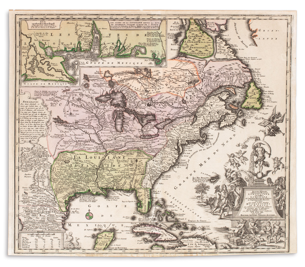
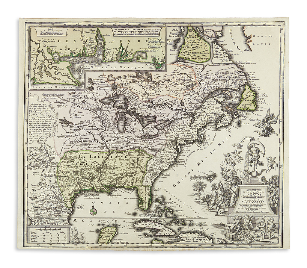
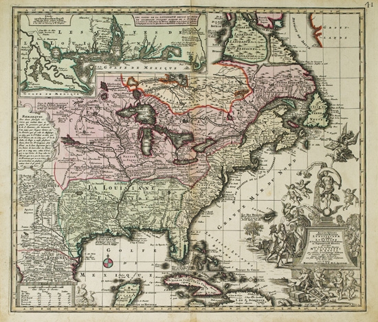
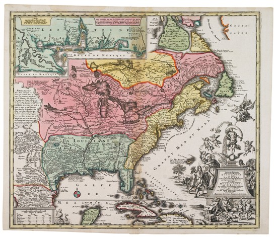
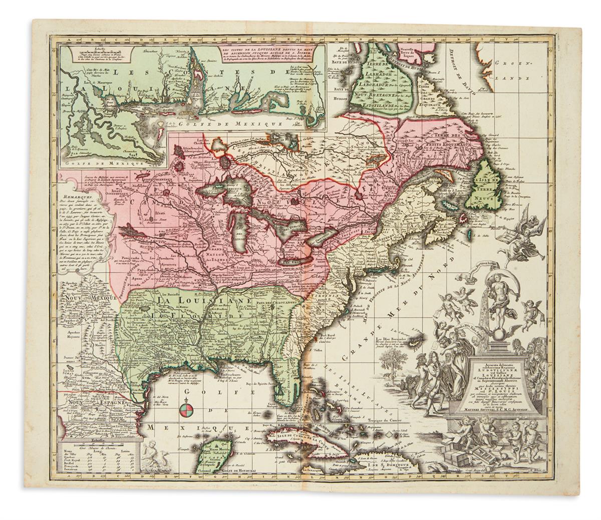
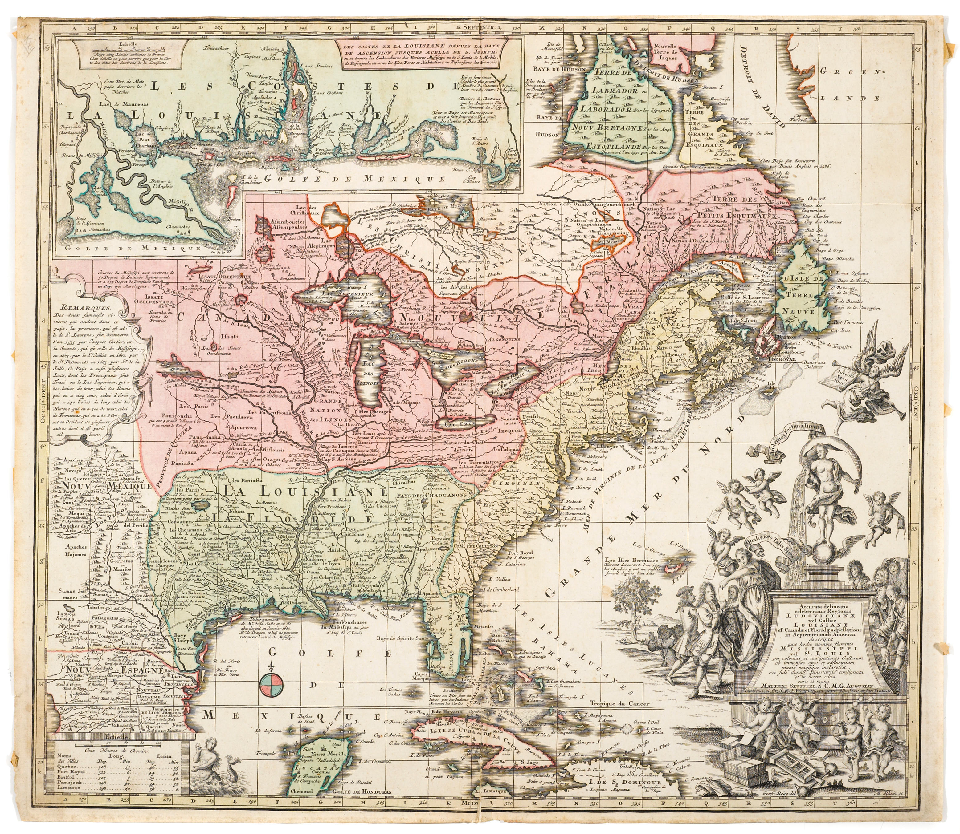
MAP] SEUTTER, MATTHAEUS. Accurata delineatio Ludovicianae vel Gallice Louisiane ol Canada et Florida ... descriptae quae hodie nomine fluminis Mississippi vel St. Louis paer colonias ... Augsburg: Matthaeus Seutter, 1730. 19 1/4 x 22 1/4 inches (49 x 57 cm), hand-colored. Short tear just entering printed surface near the fold (neatly restored), a few minor marginal defects and soiling, some toning overall, but in all an attractive specimen of this important map of Louisiana and adjacent regions. Based on De Fer's map, this shows the Mississippi and Missouri river to their putative sources (the latter a large lake in what would become Kansas). The inset shows the site of New Orleans and the adjacent coast. The cartouche is of considerable interest, as it pertains to John Law and the Mississippi Bubble. Portinaro & Knirsch pl. 117. C
MAP] SEUTTER, MATTHAEUS. Accurata delineatio Ludovicianae vel Gallice Louisiane ol Canada et Florida ... descriptae quae hodie nomine fluminis Mississippi vel St. Louis paer colonias ... Augsburg: Matthaeus Seutter, 1730. 19 1/4 x 22 1/4 inches (49 x 57 cm), hand-colored. Short tear just entering printed surface near the fold (neatly restored), a few minor marginal defects and soiling, some toning overall, but in all an attractive specimen of this important map of Louisiana and adjacent regions. Based on De Fer's map, this shows the Mississippi and Missouri river to their putative sources (the latter a large lake in what would become Kansas). The inset shows the site of New Orleans and the adjacent coast. The cartouche is of considerable interest, as it pertains to John Law and the Mississippi Bubble. Portinaro & Knirsch pl. 117. C






Try LotSearch and its premium features for 7 days - without any costs!
Be notified automatically about new items in upcoming auctions.
Create an alert