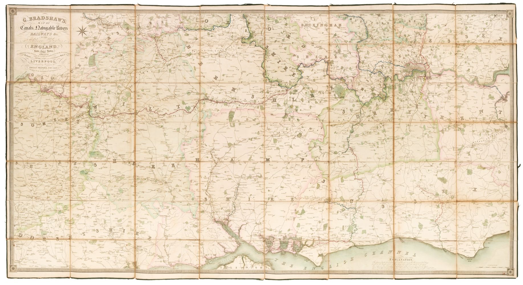
Title: Map of the Canals, Navigable Rivers, Railways, &c. in the Southern Counties of England. From Actual Survey Shewing the Heights of the Pools on the Lines of Navigation also the Planes on the Railways, from a Level of 6 ft. 10 in., under the Dold Dock Still at Liverpool. Dedicated by Permission to Thomas Telford .. Author: Bradshaw, George Place [Manchester, England] Publisher: Date: [1830] Description: Engraved map, hand-colored. On three sheets, approx. 94.5x186 cm. overall, backed with linen and sectioned for folding, housed in period solander case of calf tooled in gilt and blind. Detailed, large scale map of southern England, including London and the Thames the southeast coast, etc., with the canals and newly-built railways shown. Besides a noted engraver and printer of maps, George Bradshaw, 1801-1853, is also noted as the first publisher of a railway timetable, which were known as "Bradshaws," regardless of the actual publisher. The dedicatee, Thomas Telford 1757-1834, was an engineer who designed and built canals and roads throughout Britain. Lot Amendments Condition: The map is in fine condition, though the case is well scuffed and worn but sound. Item number: 176340
Title: Map of the Canals, Navigable Rivers, Railways, &c. in the Southern Counties of England. From Actual Survey Shewing the Heights of the Pools on the Lines of Navigation also the Planes on the Railways, from a Level of 6 ft. 10 in., under the Dold Dock Still at Liverpool. Dedicated by Permission to Thomas Telford .. Author: Bradshaw, George Place [Manchester, England] Publisher: Date: [1830] Description: Engraved map, hand-colored. On three sheets, approx. 94.5x186 cm. overall, backed with linen and sectioned for folding, housed in period solander case of calf tooled in gilt and blind. Detailed, large scale map of southern England, including London and the Thames the southeast coast, etc., with the canals and newly-built railways shown. Besides a noted engraver and printer of maps, George Bradshaw, 1801-1853, is also noted as the first publisher of a railway timetable, which were known as "Bradshaws," regardless of the actual publisher. The dedicatee, Thomas Telford 1757-1834, was an engineer who designed and built canals and roads throughout Britain. Lot Amendments Condition: The map is in fine condition, though the case is well scuffed and worn but sound. Item number: 176340


Testen Sie LotSearch und seine Premium-Features 7 Tage - ohne Kosten!
Lassen Sie sich automatisch über neue Objekte in kommenden Auktionen benachrichtigen.
Suchauftrag anlegen