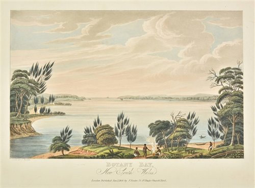
LYCETT (JOSEPH)'Ben Lomond, from Arnolds Heights, a part of Tasman's Pea, Van Diemens Land'; 'Mount Direction, near Hobart's Town, Van Diemens Land'; 'View of Tasman's Peak, from Macquarie Plains'; 'Western or Boundary Lake, Van Diemens Land'; 'Cape Pillar, near the Entrance of the River Derwent, Van Diemen's Land', from "Views in Australia or New South Wales, & Van Dieman's Land Delineated...", hand-coloured engraved views, old dealer stamp on verso, platemark 240 x 330mm., 1824--LE BRETON (LOUISE) Vue d'Hobart prise de la Pointe Kangorou, hand-coloured lithograph by P. Blanchard after Le Breton, image 205 x 340mm., Paris, Gide, [c.1841]--LAURIE & WHITTLE, publishers. A Chart of Van Diemen's Land, the South Extremity of New Holland, with the New Discovered River by the Ships Duke and Duchess. From Captn. John Hayes hand-coloured engraved map, inset view of the "Continuation of the River from King George's Bay...", 580 x 690mm., 1798--JOHNSTONE (A.K.) Van Diemen's Land or Tasmania, hand-coloured engraved map hand-coloured in outline, 645 x 550mm., [c.1844]; and 17 others, including 16 nineteenth-century maps (mostly hand-coloured in outline) of Tasmania, or Australia, and one print (25)
LYCETT (JOSEPH)'Ben Lomond, from Arnolds Heights, a part of Tasman's Pea, Van Diemens Land'; 'Mount Direction, near Hobart's Town, Van Diemens Land'; 'View of Tasman's Peak, from Macquarie Plains'; 'Western or Boundary Lake, Van Diemens Land'; 'Cape Pillar, near the Entrance of the River Derwent, Van Diemen's Land', from "Views in Australia or New South Wales, & Van Dieman's Land Delineated...", hand-coloured engraved views, old dealer stamp on verso, platemark 240 x 330mm., 1824--LE BRETON (LOUISE) Vue d'Hobart prise de la Pointe Kangorou, hand-coloured lithograph by P. Blanchard after Le Breton, image 205 x 340mm., Paris, Gide, [c.1841]--LAURIE & WHITTLE, publishers. A Chart of Van Diemen's Land, the South Extremity of New Holland, with the New Discovered River by the Ships Duke and Duchess. From Captn. John Hayes hand-coloured engraved map, inset view of the "Continuation of the River from King George's Bay...", 580 x 690mm., 1798--JOHNSTONE (A.K.) Van Diemen's Land or Tasmania, hand-coloured engraved map hand-coloured in outline, 645 x 550mm., [c.1844]; and 17 others, including 16 nineteenth-century maps (mostly hand-coloured in outline) of Tasmania, or Australia, and one print (25)


Try LotSearch and its premium features for 7 days - without any costs!
Be notified automatically about new items in upcoming auctions.
Create an alert