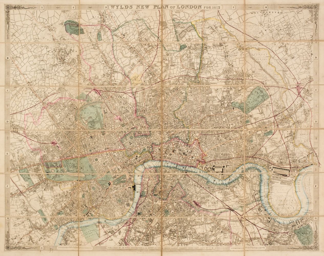
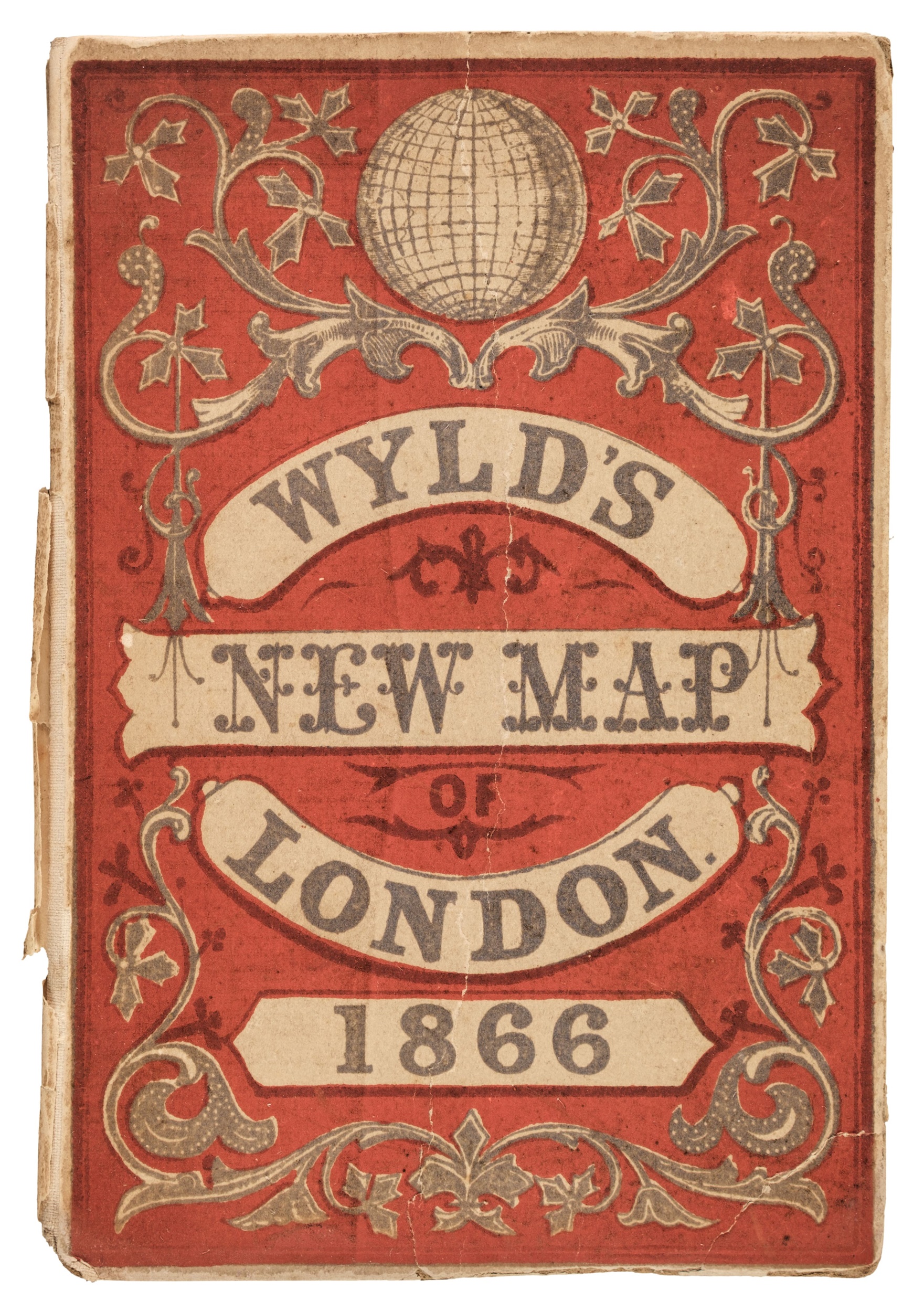
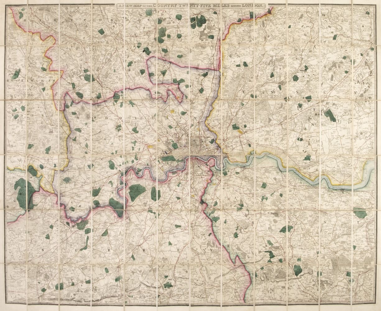
London.- Wyld (James) Wyld's New Plan of London and its Vicinity, showing from Highgate down to Brixton, and Victoria Docks across to Wormwood Scrubs, lithographed map with hand-colouring, 800 x 1140 mm. (31 1/2 x 44 3/4 in), dissected and mounted on linen, minor surface dirt and light browning, folding into original cloth covered boards with printed label, worn, spine splitting, [Hyde, 119], 1872.
London.- Wyld (James) Wyld's New Plan of London and its Vicinity, showing from Highgate down to Brixton, and Victoria Docks across to Wormwood Scrubs, lithographed map with hand-colouring, 800 x 1140 mm. (31 1/2 x 44 3/4 in), dissected and mounted on linen, minor surface dirt and light browning, folding into original cloth covered boards with printed label, worn, spine splitting, [Hyde, 119], 1872.





Testen Sie LotSearch und seine Premium-Features 7 Tage - ohne Kosten!
Lassen Sie sich automatisch über neue Objekte in kommenden Auktionen benachrichtigen.
Suchauftrag anlegen