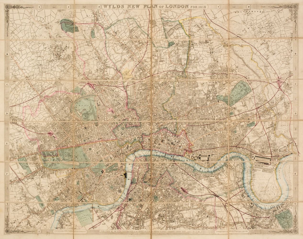
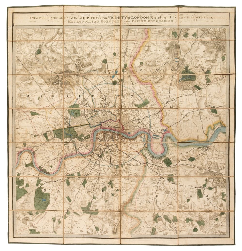
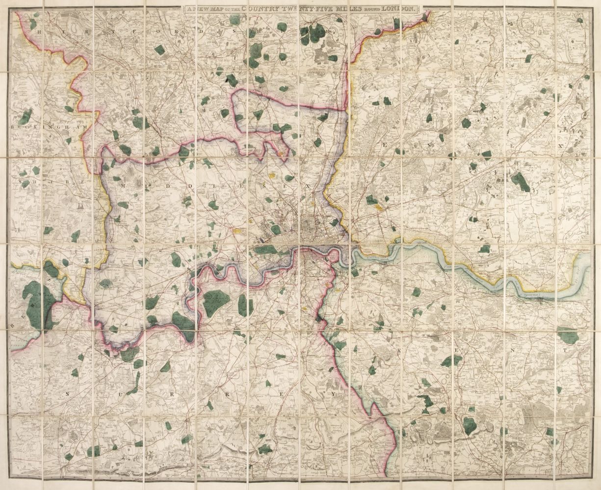
LONDON -- WYLD, James, the elder (1790-1836). A new map of the country twenty-five miles around London . London: 1828. Large hand-coloured folding engraved map in 4 separate sections (each 535 x 850mm; together 1070 x 1700mm), to the scale of one inch to one mile (1:63,360), dissected and mounted on linen, engraved labels to versoes with sheet name in manuscript. (Linen torn long several creasefolds with one strip of South-East map completely detached, a few tiny losses to printed map at some corners of dissected panels.) Contained in a contemporary marbled-paper covered slipcase (rubbed). [ Together with :] three other maps of London by Wyld (1838, 1853 and c.1856) [ and :] H. VIZETELLY, The Grand Panorama of London from the Thames (London, c.1844), wood engraved panorama folding into original cloth boards; [ and :] 11 19th-century maps of London and two of the south-east of England. (18)
LONDON -- WYLD, James, the elder (1790-1836). A new map of the country twenty-five miles around London . London: 1828. Large hand-coloured folding engraved map in 4 separate sections (each 535 x 850mm; together 1070 x 1700mm), to the scale of one inch to one mile (1:63,360), dissected and mounted on linen, engraved labels to versoes with sheet name in manuscript. (Linen torn long several creasefolds with one strip of South-East map completely detached, a few tiny losses to printed map at some corners of dissected panels.) Contained in a contemporary marbled-paper covered slipcase (rubbed). [ Together with :] three other maps of London by Wyld (1838, 1853 and c.1856) [ and :] H. VIZETELLY, The Grand Panorama of London from the Thames (London, c.1844), wood engraved panorama folding into original cloth boards; [ and :] 11 19th-century maps of London and two of the south-east of England. (18)


Try LotSearch and its premium features for 7 days - without any costs!
Be notified automatically about new items in upcoming auctions.
Create an alert