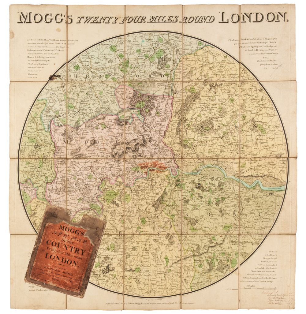
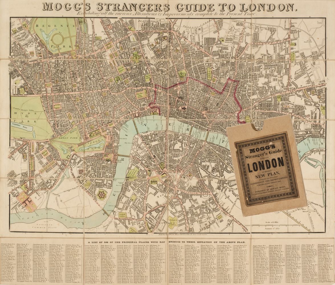
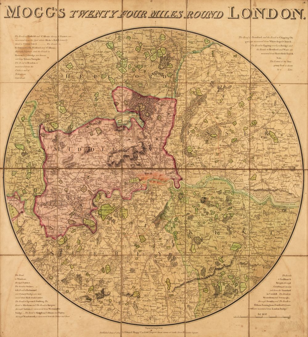
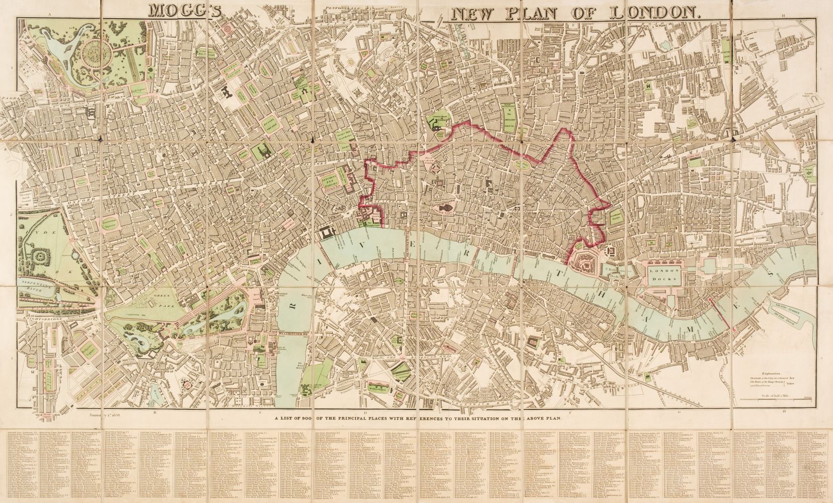
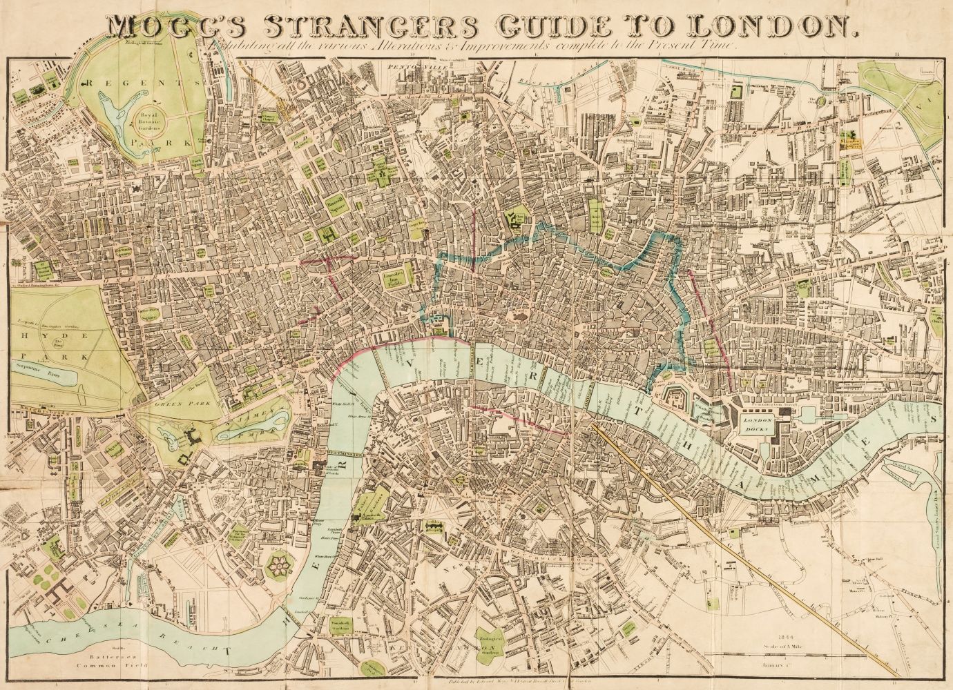
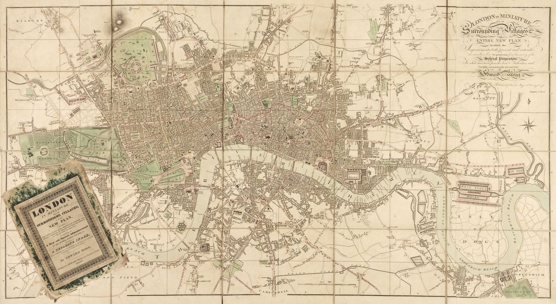
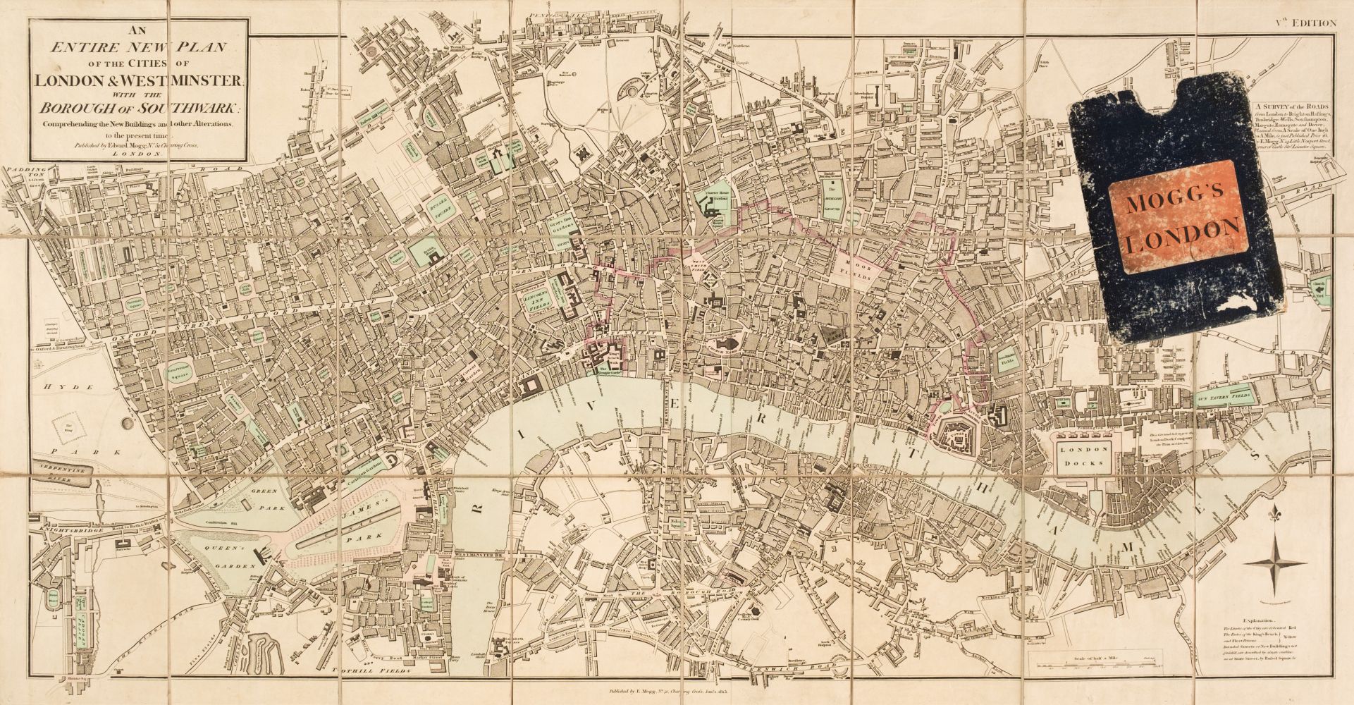
London. Mogg (E. S.), Modern London and its Environs, circa 1846, engraved map with contemporary outline colouring, sectionalised and laid on linen, 530 x 820 mm, together with Stanford (Edward, publisher). A Map of the Environs of London extending Twenty-five Miles fr. the Metropolis, circa 1870, lithographic map with contemporary outline colouring, sectionalised and laid on linen, slight overall toning, 910 x 930 mm, retaining one cloth board, with Davies (Benjamin Rees). Davies's New Map of the British Metropolis. The Boundaries of the Boroughs, County Court Districts Railways, and Modern Improvements, published Edward Stanford, 1889, lithographic map with contemporary outline colouring, dust soiled and torn horizontally in half along old linen, overall size 660 x 940 mm, retaining one cloth board, plus an early 20th century Ordnance Survey map of part of Shropshire on a scale of six inches to the mile, heavily stained, marbled endpapers, plus a mid 20th century colour printed map on silk of the coastline of Japan, 1200 x 1300 (Qty: 5) The first item described. Howgego number 390, state 2 (a).
London. Mogg (E. S.), Modern London and its Environs, circa 1846, engraved map with contemporary outline colouring, sectionalised and laid on linen, 530 x 820 mm, together with Stanford (Edward, publisher). A Map of the Environs of London extending Twenty-five Miles fr. the Metropolis, circa 1870, lithographic map with contemporary outline colouring, sectionalised and laid on linen, slight overall toning, 910 x 930 mm, retaining one cloth board, with Davies (Benjamin Rees). Davies's New Map of the British Metropolis. The Boundaries of the Boroughs, County Court Districts Railways, and Modern Improvements, published Edward Stanford, 1889, lithographic map with contemporary outline colouring, dust soiled and torn horizontally in half along old linen, overall size 660 x 940 mm, retaining one cloth board, plus an early 20th century Ordnance Survey map of part of Shropshire on a scale of six inches to the mile, heavily stained, marbled endpapers, plus a mid 20th century colour printed map on silk of the coastline of Japan, 1200 x 1300 (Qty: 5) The first item described. Howgego number 390, state 2 (a).




Try LotSearch and its premium features for 7 days - without any costs!
Be notified automatically about new items in upcoming auctions.
Create an alert