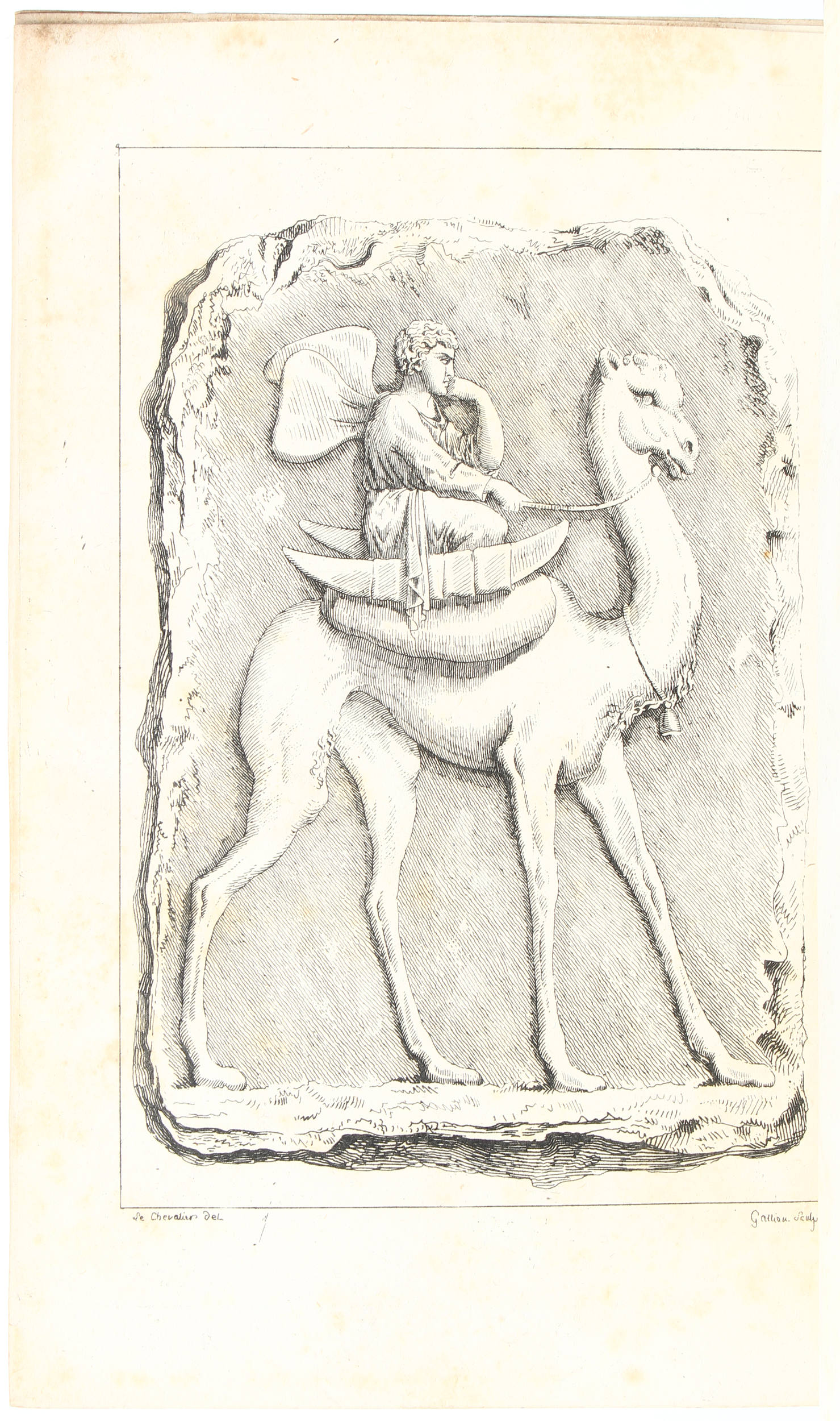
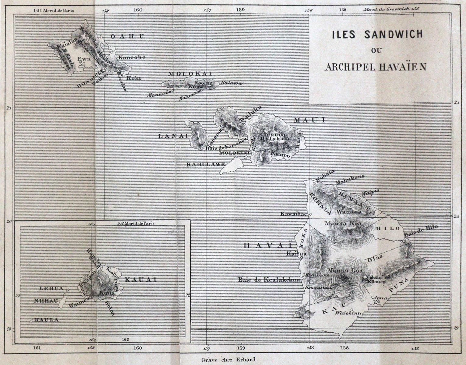
Lechevalier, "Voyage de la Propontide et du Pont Euxin", Paris, Dentu, 1800. First edition. Complete in 2 volumes with all the 6 very important maps of Constantinople area, forming a small early Atlas of the area (in some copies the maps form a separate set). Lechevalier was a French officer and engineer that followed the ambassador Choisel Gouffier to Constantinople. In 1784, along with Kauffer, he drawn the first accurate map of Constantinople and he was a member of a French engineers team that charted the areas around, most parts of the Sea of Marmara and the Black sea (still uncharted that time). The maps were drawn for French military use in 1786/7 (except the Black Sea chart) and were all published in current book in First edition as follows: 1. "Carte de la mer de Marmara, ecrit par Miller", folded, copper engraved 53x32cm, water stain 2. "Plan de Detroit des Dardanelles, grave par Collin", folded, copper engraved 26x19cm 3. "Carte de la ville de Brousse et ses environs levee par Lechevalier en 1786", folded, copper engraved, 35x30cm, light water stain, the first ever map of Bursa/Moudania area. 4. "Carte du Bosphore de Thrace, ecrit par Miller", folded, copper engraved, 60x30cm, light water stain 5. "Carte de Constantinople.levee par Kauffer et Lechevalier", 1786, folded 65x50cm. The first ever city map of Constantinople, made after measurements and containing street plan. 6. "Carte de la Mer Noire ou Pont Euxin", 34x25cm. A map published in a very critical moment for the cartography of the the Black sea, just after the travel and astronomical observations of Beauchamp in 1797. The travel account contain a detailed description of the above mentioned areas,specially of Constantinople. Contemporary full calf gilded, rubbed, wear along joints, some water stain in volume one but overall a good copy. Atabey 697, Blackmer 995.
Lechevalier, "Voyage de la Propontide et du Pont Euxin", Paris, Dentu, 1800. First edition. Complete in 2 volumes with all the 6 very important maps of Constantinople area, forming a small early Atlas of the area (in some copies the maps form a separate set). Lechevalier was a French officer and engineer that followed the ambassador Choisel Gouffier to Constantinople. In 1784, along with Kauffer, he drawn the first accurate map of Constantinople and he was a member of a French engineers team that charted the areas around, most parts of the Sea of Marmara and the Black sea (still uncharted that time). The maps were drawn for French military use in 1786/7 (except the Black Sea chart) and were all published in current book in First edition as follows: 1. "Carte de la mer de Marmara, ecrit par Miller", folded, copper engraved 53x32cm, water stain 2. "Plan de Detroit des Dardanelles, grave par Collin", folded, copper engraved 26x19cm 3. "Carte de la ville de Brousse et ses environs levee par Lechevalier en 1786", folded, copper engraved, 35x30cm, light water stain, the first ever map of Bursa/Moudania area. 4. "Carte du Bosphore de Thrace, ecrit par Miller", folded, copper engraved, 60x30cm, light water stain 5. "Carte de Constantinople.levee par Kauffer et Lechevalier", 1786, folded 65x50cm. The first ever city map of Constantinople, made after measurements and containing street plan. 6. "Carte de la Mer Noire ou Pont Euxin", 34x25cm. A map published in a very critical moment for the cartography of the the Black sea, just after the travel and astronomical observations of Beauchamp in 1797. The travel account contain a detailed description of the above mentioned areas,specially of Constantinople. Contemporary full calf gilded, rubbed, wear along joints, some water stain in volume one but overall a good copy. Atabey 697, Blackmer 995.


Testen Sie LotSearch und seine Premium-Features 7 Tage - ohne Kosten!
Lassen Sie sich automatisch über neue Objekte in kommenden Auktionen benachrichtigen.
Suchauftrag anlegen