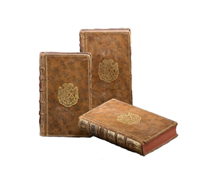
Histoire de la Louisiane .
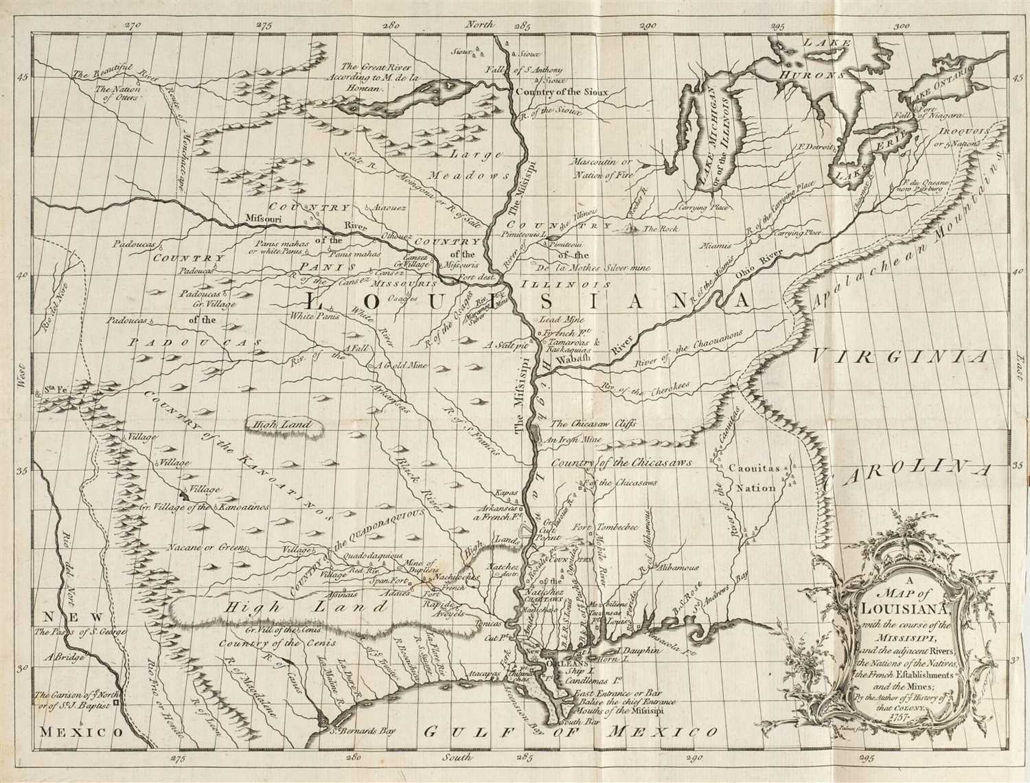
Paris: Chez de Bure [et al], 1758. Three volumes. Duodecimo (6 ½ x 3 ½ inches, 165x90 mm). Forty engraved plates, two folding maps, and folding plan of New Orleans. Contemporary vellum. Condition: Significant dampstaining and worming in volume two, only minor staining extending from the lower margin in volume one and volume three internally clean, small repair to the large map; some wear and staining to the binding, volume two front hinge cracked. first edition of an important contemporary authority on french louisiana, containing important images of indians and animals of the region. Based on the author’s sixteen-year residence there, Le Page du Pratz affords a great deal of useful information on the Natchez and other Mississippi tribes, and his work as a whole has been the basis for many later studies of the period. Indeed, it was among the works which Jefferson instructed Lewis and Clark to take with them on their expedition. It is also of note for containing a short account of Louis de St. Denis’ expedition to New Mexico in 1715. Among the well-executed maps are a plan of New Orleans and a “Carte de la Louisiane,” which shows a large eastward-flowing Missouri. “Valuable for showing French claims to southern territory east of the Mississippi and for particulars concerning Indian nations there” ( Howes ). Clark I:75; Field 910; Graff 2462; Howes L266; Sabin 40122; Streeter Sale 127; Wheat Mapping the Transmississippi West 158.

.jpg)


Testen Sie LotSearch und seine Premium-Features 7 Tage - ohne Kosten!
Lassen Sie sich automatisch über neue Objekte in kommenden Auktionen benachrichtigen.
Suchauftrag anlegen