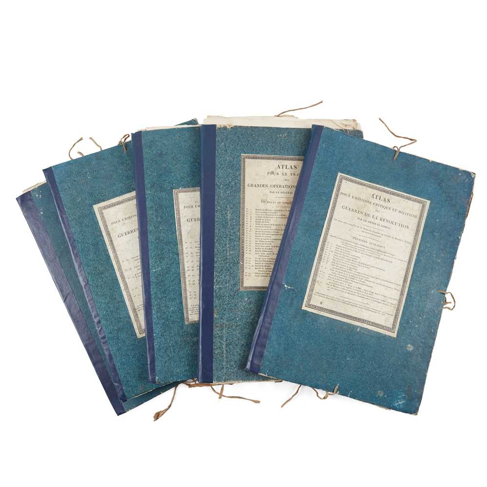
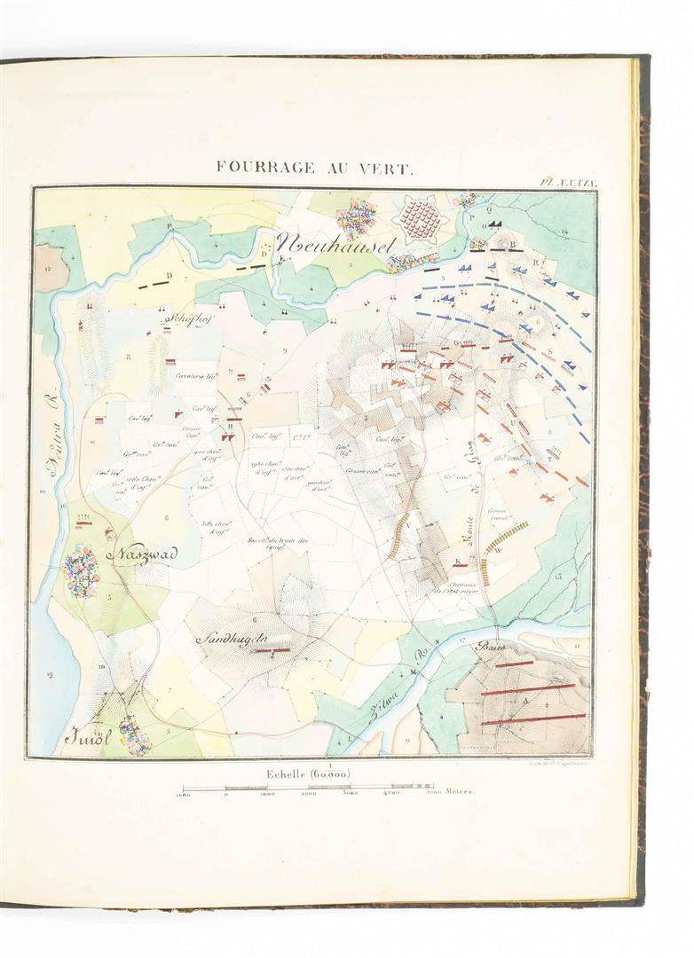
Lallemand (A.). Atlas Topographique du traite theorique et pratique des Operations secondaries de la Guerre, 2 volumes (Atlas/Text), Paris, Librairie Militaire, J. Dumaine, 1846, title with lithographed vignette by C. Vernet, 42 lithographed battle plans, most with hand-colouring, some spotting to endpapers (text volume with some spotting throughout), contemporary half calf, with gilt morocco label to upper cover of each volume, library bookplate to upper cover each, heavily rubbed and scuffed, folio/4to, together with Millin (Aubin-Louis), Atlas pour servir au Voyage dans les departmens du midi de la France, Paris, Imprimerie Imperiale, 1807, half-title, 83 mostly folding copper engraved plates (numbered I-LXXX and Xb XXIIb and XLIXb), including three with hand-colouring, some light spotting, contemporary calf, heavily worn, with covers detached, 4to, plus Thiers (Adolphe), Atlas de l'Histoire du Consulat et de l'Empire, Paris, 1864, 66 mostly single-page engraved maps, including two double-page in colour, contemporary cloth-backed marbled boards with paper label to upper cover, rubbed and soiled with some wear to spine, large folio, and other similar 19th century French atlases, including an album of tables of four battle plans of the 1814 Campaign, General Chanzy, Campagne de 1870-1871, La Deuxieme Armee de la Loire, Atlas, 4th edition, Paris, 1872, A-H Duflur, Geographie Sacre, Paris, 1842, etc. (9)
Lallemand (A.). Atlas Topographique du traite theorique et pratique des Operations secondaries de la Guerre, 2 volumes (Atlas/Text), Paris, Librairie Militaire, J. Dumaine, 1846, title with lithographed vignette by C. Vernet, 42 lithographed battle plans, most with hand-colouring, some spotting to endpapers (text volume with some spotting throughout), contemporary half calf, with gilt morocco label to upper cover of each volume, library bookplate to upper cover each, heavily rubbed and scuffed, folio/4to, together with Millin (Aubin-Louis), Atlas pour servir au Voyage dans les departmens du midi de la France, Paris, Imprimerie Imperiale, 1807, half-title, 83 mostly folding copper engraved plates (numbered I-LXXX and Xb XXIIb and XLIXb), including three with hand-colouring, some light spotting, contemporary calf, heavily worn, with covers detached, 4to, plus Thiers (Adolphe), Atlas de l'Histoire du Consulat et de l'Empire, Paris, 1864, 66 mostly single-page engraved maps, including two double-page in colour, contemporary cloth-backed marbled boards with paper label to upper cover, rubbed and soiled with some wear to spine, large folio, and other similar 19th century French atlases, including an album of tables of four battle plans of the 1814 Campaign, General Chanzy, Campagne de 1870-1871, La Deuxieme Armee de la Loire, Atlas, 4th edition, Paris, 1872, A-H Duflur, Geographie Sacre, Paris, 1842, etc. (9)


Testen Sie LotSearch und seine Premium-Features 7 Tage - ohne Kosten!
Lassen Sie sich automatisch über neue Objekte in kommenden Auktionen benachrichtigen.
Suchauftrag anlegen