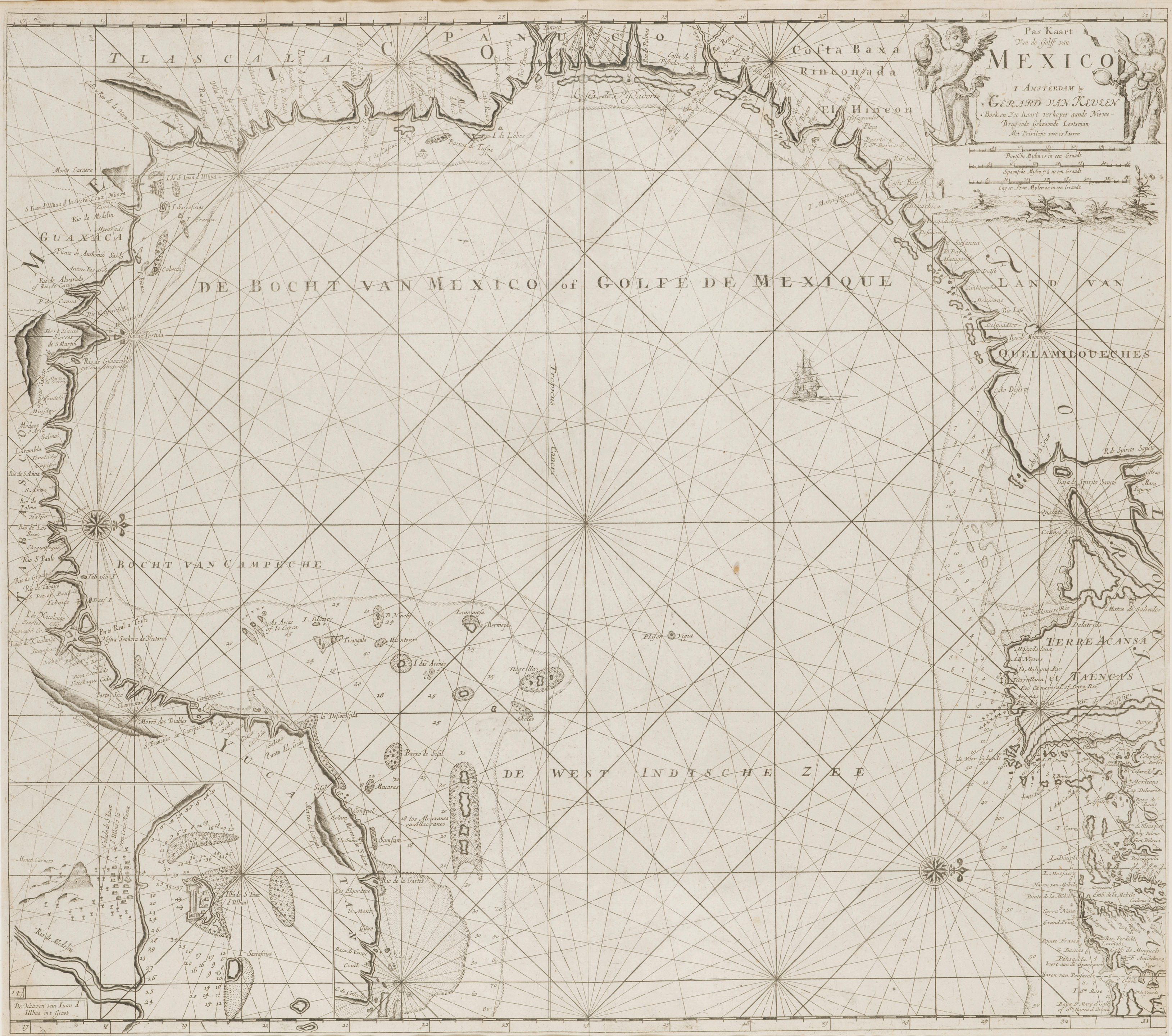
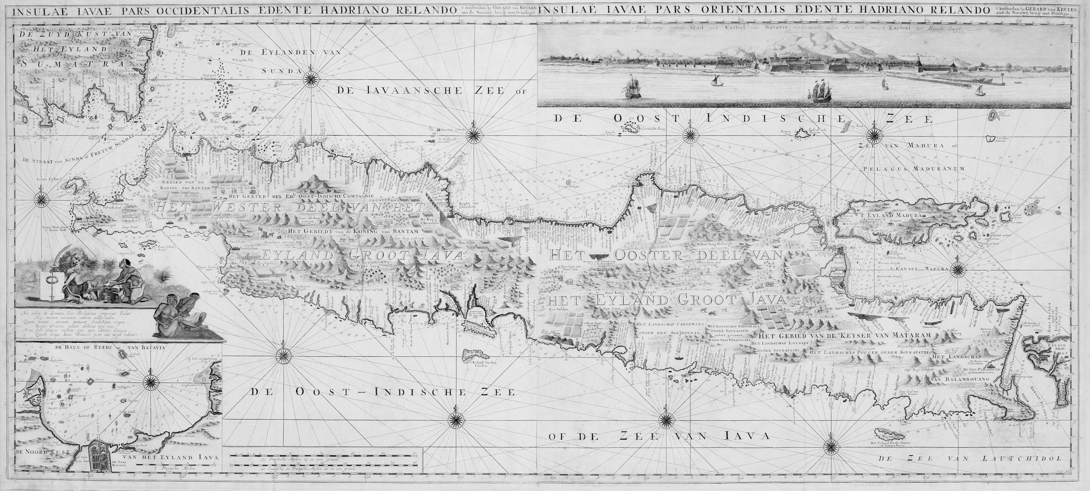
KEULEN, Gerard van. Plan of the Road and City of Batavia, on the North Coast of Java Island . London: Laurie & Whittle, 1794. Engraved hand-coloured chart (542 x 603 mm.), mounted and framed. The chart covers the whole of the Bay of Batavia including the Islands of Middelburg and Edam, major topographical features labelled, inset plan of Batavia and its environs, two decorated compass roses, rhumblines. (Vertical centre fold, surface dirt, some light foxing and unobtrusive staining.)
KEULEN, Gerard van. Plan of the Road and City of Batavia, on the North Coast of Java Island . London: Laurie & Whittle, 1794. Engraved hand-coloured chart (542 x 603 mm.), mounted and framed. The chart covers the whole of the Bay of Batavia including the Islands of Middelburg and Edam, major topographical features labelled, inset plan of Batavia and its environs, two decorated compass roses, rhumblines. (Vertical centre fold, surface dirt, some light foxing and unobtrusive staining.)
.jpg?w=400?width=1600&quality=70)


Testen Sie LotSearch und seine Premium-Features 7 Tage - ohne Kosten!
Lassen Sie sich automatisch über neue Objekte in kommenden Auktionen benachrichtigen.
Suchauftrag anlegen