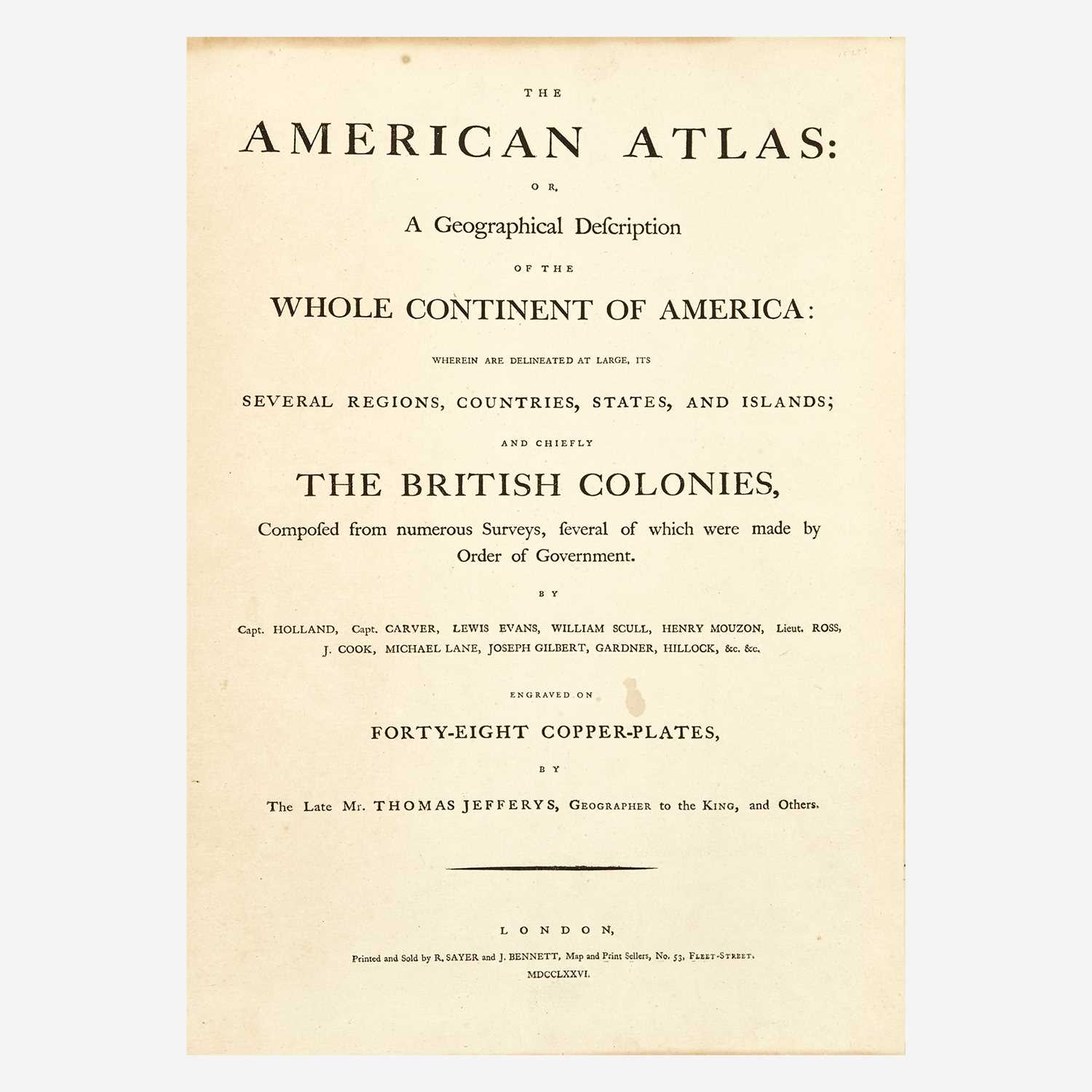
JEFFERYS, THOMAS]. The Atlantic Pilot; including the British Channel, Bay of Biscay, and all the Atlantic Islands; with the Gulf and Windward Passages, and Old Channel of Bahama. By Capt. Bishop, John Stephenson, and Other Navigators. On eighteen plates. London: Printed and Published by Laurie and Whittle, Successors to the Late Mr. Robert Sayer [c. 1794]. [Title and imprint from letterpress title and contents leaf and small imprint slip laid down to upper pastedown]. Folio, 546 x 385 mm. (21½ x 15 1/8 in.), contemporary calf-backed boards, broken, rubbed, printed advertisement for Mark Lalor, Ship Chandler and Sail Maker, No. 27, George's-Quay ("Dublin" added in ink), with list of goods and woodcut anchor, pasted down on upper cover; offsetting and discoloration throughout, mostly marginal spotting, fore-edges stained, affecting maps, dampstaining to upper margin of charts 1 and 2 . A composite chart-book, containing 13 double-page or folding charts on 17 sheets (not 18, as stated in the title), most from atlases published by Thomas Jefferys and his successors Laurie & Whittle. The charts, numbered 1-13 in printed or hand-stamped numerals on the upper right corner of each recto, are enumerated on the title slip, numbers 9-11 and 13 with the specification "two sheets", a few of the charts with engraved key-letters at upper right corner. "No. 17" written in a contemporary hand on upper pastedown. CONTENTS 1. A New Chart of the British Channel... revised, corrected and improved by John Stephenson. London: for Robert Sayer 1788. 2 sheets, folding, small stain obscuring a few letters in shoal caption . From Jefferys, West-India atlas , London 1794 (Phillips 2702, chart 1). 2. The Bay of Biscay, with the Soundings, taken by the King's order, from Ushant to Bayone. By Mr. de Perigny... from The French Chart, Composed by Mr. Bellin...with Several Additions and Improvements. London: for Robert Sayer [n.d.]. Single sheet, creased, lower edge frayed catching border . 3. The Atlantic Ocean by Governor Pownall F.R.S. [N.p.,n.d.]. Single sheet, remnant of pasted down slip at lower fore-corner , lettered B. From the Complete pilot for the West Indies (cf. Phillips 3944, chart 3, dated 1794). 4. A Chart of the Madera and Canary Islands... by Don Thomas Lopés. London: for Robert Sayer 1787. Single sheet , lettered D. From The West-India atlas (cf. Phillips 2699, chart 5, [n.d.?], and later editions: Phillips 2702, chart 5, dated 1780, and 3944, chart 4, dated 1794). 5. The Cape Verd Islands, laid down from the Remarks and Observations of Experienced Navigators, by Mons. d'Apres de Mannevillete. London: for Robert Sayer 20 April 1788. Half-sheet, minor staining , lettered E. From the West India atlas , 1794 (Phillips 2702, chart 6). 6. Chart of the Açores (Hawks) Islands, called also Flemish and Western Islands. London: for Robert Sayer [n.d.]. Single sheet, very slight soft crease , lettered C. From The West-India atlas , 1794 (Phillips 2702, chart 4). 7. The Bermudas, or Summer's Islands. From a Survey by C. Lempriere. London: for Robert Sayer 20 February 1787. Single sheet , lettered F. From The West-India atlas , 1794 (Phillips 2702, chart 7). 8. A New Chart of the West Indian Islands as they are Possessed by the European Powers; Drawn from the most recent Authorities. London: for Robert Sayers, January 28, 1788. Single sheet, small tears to lower margin . From Jefferys, The West India islands , London: Sayer and Benentt, 1775-[1778] (cf. Phillips 3942, chart [1a], dated 1778). 9. An Accurate Draught of the Gulph-Passage from Jamaica with the West end of Cuba, &c. [N.p.n.d., "by Capt. [Robert] Bishop", according to the letterpress contents sheet]. 2 sheets, folding, 2 short fold breaks . Decorative cartouche, insets of coastal profiles and the Cominas. 10. An Accurate Draught of the Old Straits of Bahama, made from Remarks taken in the year 1762. [N.p.n.d., by Capt. Bishop]. 2 sheets, folding . Decorative cartouche, inset vie
JEFFERYS, THOMAS]. The Atlantic Pilot; including the British Channel, Bay of Biscay, and all the Atlantic Islands; with the Gulf and Windward Passages, and Old Channel of Bahama. By Capt. Bishop, John Stephenson, and Other Navigators. On eighteen plates. London: Printed and Published by Laurie and Whittle, Successors to the Late Mr. Robert Sayer [c. 1794]. [Title and imprint from letterpress title and contents leaf and small imprint slip laid down to upper pastedown]. Folio, 546 x 385 mm. (21½ x 15 1/8 in.), contemporary calf-backed boards, broken, rubbed, printed advertisement for Mark Lalor, Ship Chandler and Sail Maker, No. 27, George's-Quay ("Dublin" added in ink), with list of goods and woodcut anchor, pasted down on upper cover; offsetting and discoloration throughout, mostly marginal spotting, fore-edges stained, affecting maps, dampstaining to upper margin of charts 1 and 2 . A composite chart-book, containing 13 double-page or folding charts on 17 sheets (not 18, as stated in the title), most from atlases published by Thomas Jefferys and his successors Laurie & Whittle. The charts, numbered 1-13 in printed or hand-stamped numerals on the upper right corner of each recto, are enumerated on the title slip, numbers 9-11 and 13 with the specification "two sheets", a few of the charts with engraved key-letters at upper right corner. "No. 17" written in a contemporary hand on upper pastedown. CONTENTS 1. A New Chart of the British Channel... revised, corrected and improved by John Stephenson. London: for Robert Sayer 1788. 2 sheets, folding, small stain obscuring a few letters in shoal caption . From Jefferys, West-India atlas , London 1794 (Phillips 2702, chart 1). 2. The Bay of Biscay, with the Soundings, taken by the King's order, from Ushant to Bayone. By Mr. de Perigny... from The French Chart, Composed by Mr. Bellin...with Several Additions and Improvements. London: for Robert Sayer [n.d.]. Single sheet, creased, lower edge frayed catching border . 3. The Atlantic Ocean by Governor Pownall F.R.S. [N.p.,n.d.]. Single sheet, remnant of pasted down slip at lower fore-corner , lettered B. From the Complete pilot for the West Indies (cf. Phillips 3944, chart 3, dated 1794). 4. A Chart of the Madera and Canary Islands... by Don Thomas Lopés. London: for Robert Sayer 1787. Single sheet , lettered D. From The West-India atlas (cf. Phillips 2699, chart 5, [n.d.?], and later editions: Phillips 2702, chart 5, dated 1780, and 3944, chart 4, dated 1794). 5. The Cape Verd Islands, laid down from the Remarks and Observations of Experienced Navigators, by Mons. d'Apres de Mannevillete. London: for Robert Sayer 20 April 1788. Half-sheet, minor staining , lettered E. From the West India atlas , 1794 (Phillips 2702, chart 6). 6. Chart of the Açores (Hawks) Islands, called also Flemish and Western Islands. London: for Robert Sayer [n.d.]. Single sheet, very slight soft crease , lettered C. From The West-India atlas , 1794 (Phillips 2702, chart 4). 7. The Bermudas, or Summer's Islands. From a Survey by C. Lempriere. London: for Robert Sayer 20 February 1787. Single sheet , lettered F. From The West-India atlas , 1794 (Phillips 2702, chart 7). 8. A New Chart of the West Indian Islands as they are Possessed by the European Powers; Drawn from the most recent Authorities. London: for Robert Sayers, January 28, 1788. Single sheet, small tears to lower margin . From Jefferys, The West India islands , London: Sayer and Benentt, 1775-[1778] (cf. Phillips 3942, chart [1a], dated 1778). 9. An Accurate Draught of the Gulph-Passage from Jamaica with the West end of Cuba, &c. [N.p.n.d., "by Capt. [Robert] Bishop", according to the letterpress contents sheet]. 2 sheets, folding, 2 short fold breaks . Decorative cartouche, insets of coastal profiles and the Cominas. 10. An Accurate Draught of the Old Straits of Bahama, made from Remarks taken in the year 1762. [N.p.n.d., by Capt. Bishop]. 2 sheets, folding . Decorative cartouche, inset vie


Testen Sie LotSearch und seine Premium-Features 7 Tage - ohne Kosten!
Lassen Sie sich automatisch über neue Objekte in kommenden Auktionen benachrichtigen.
Suchauftrag anlegen