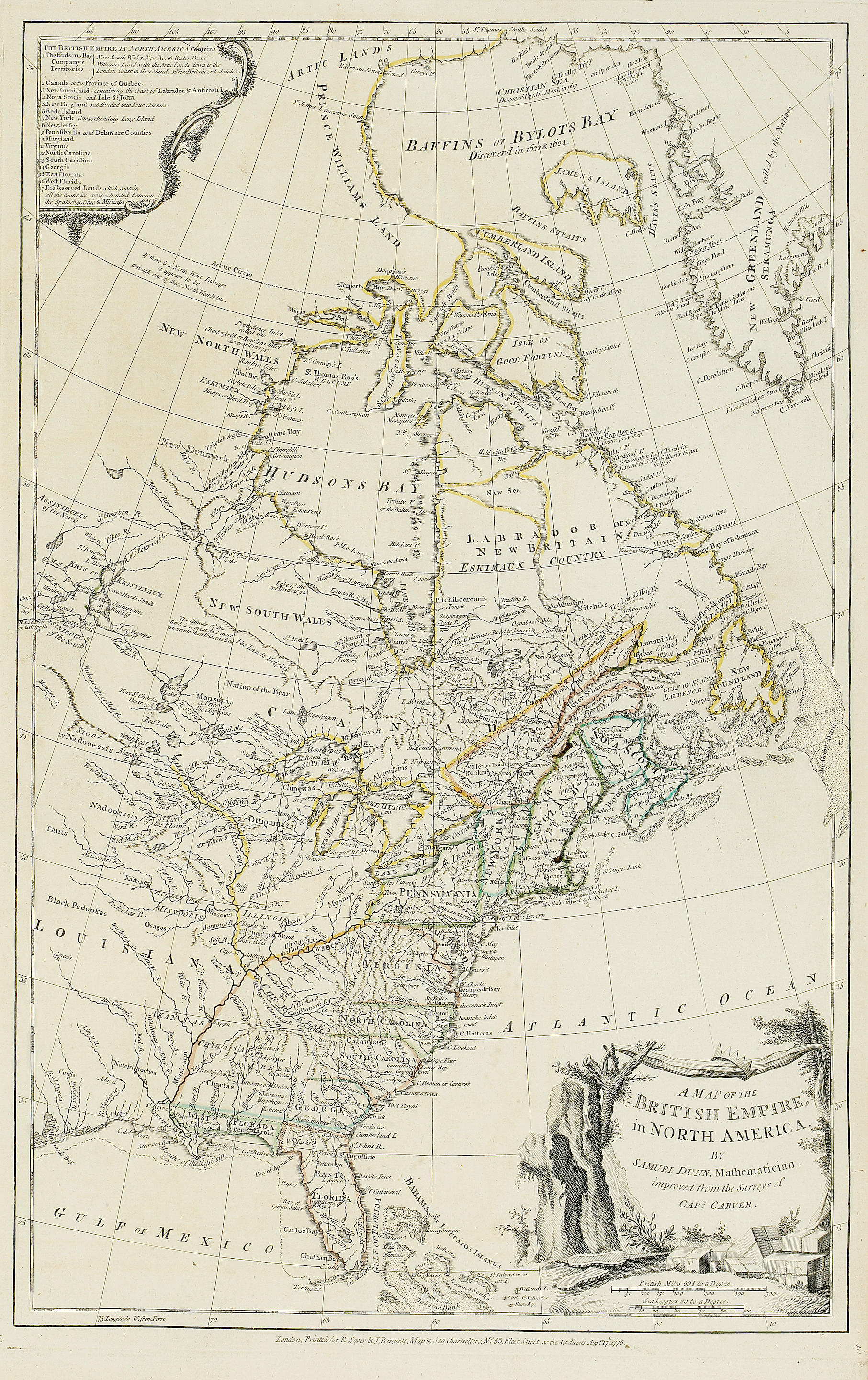
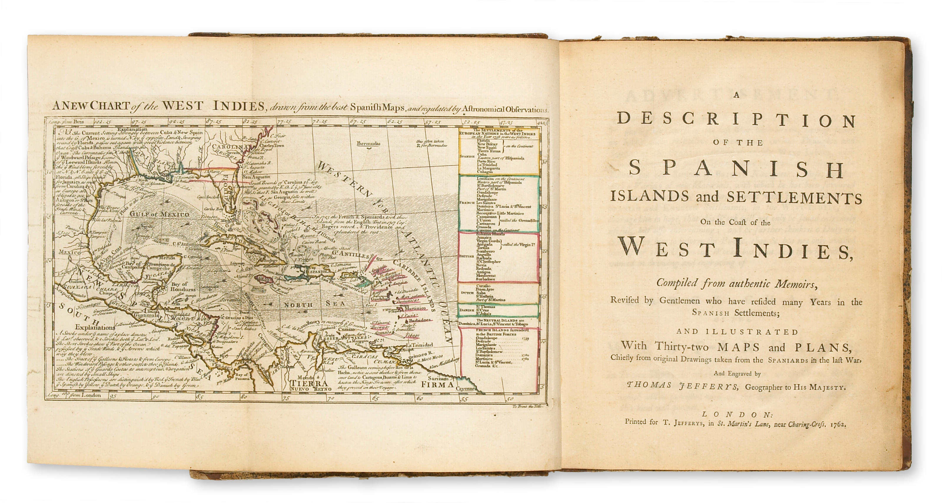
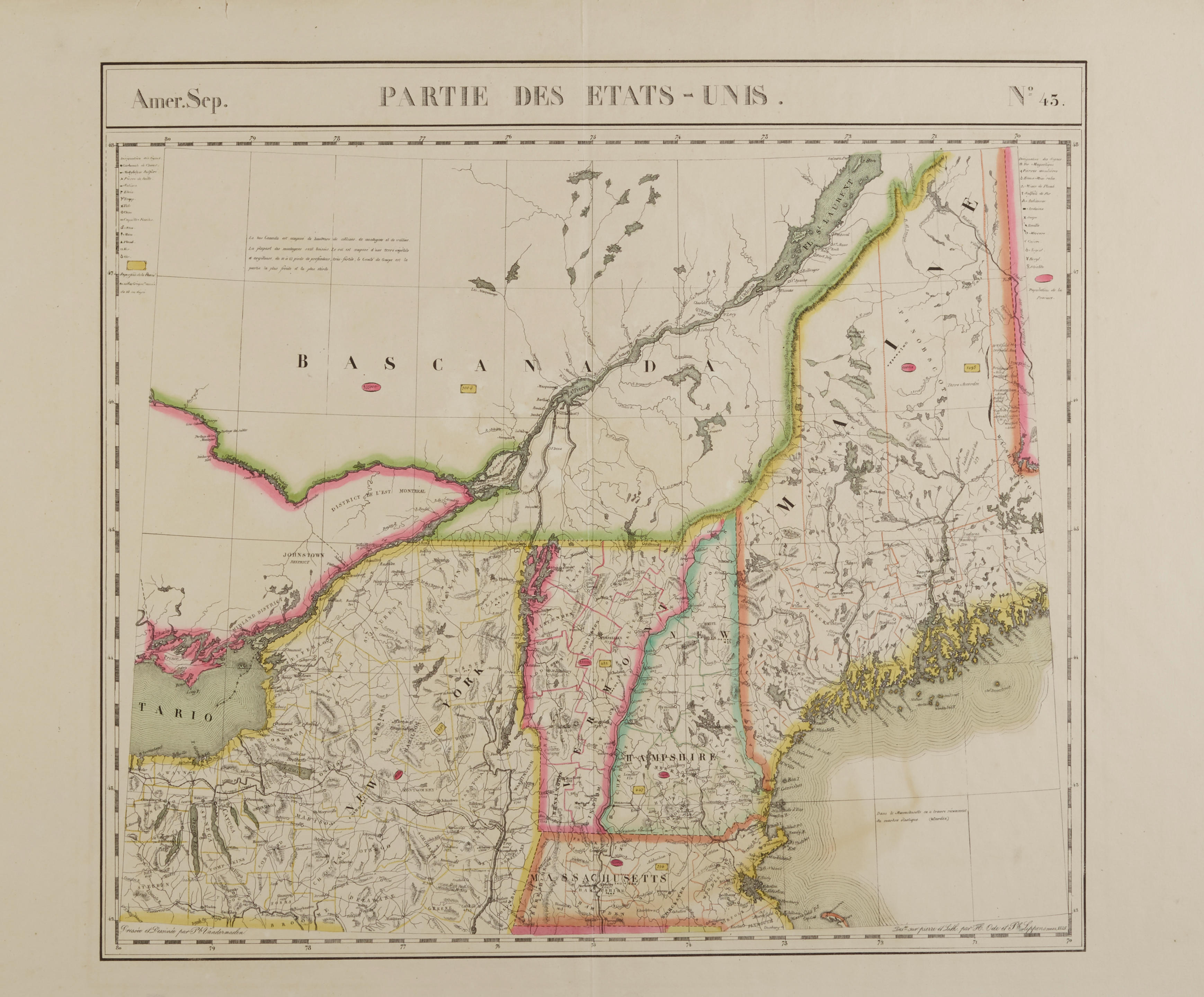
The Natural and Civil History of the French Dominions in North and South America.... London: Thomas Jefferys, 1760. 2 parts in 1 volume. [8], 132, 129-138, 133-168; [4], 246 pp. Title-pages printed in red and black. With 18 folding engraved maps & plans. Folio (373 x 240 mm). Untrimmed in period plain blue boards. Maps with some toning and offsetting, some soiling to text, final plan with small brown spot in cartouche, maps offset to facing text pages, light spotting at ends and fore-edge, boards a bit stained, rebacked to style. FIRST EDITION, WITH MAPS OF LOUISIANA AND CANADA as well as the French West Indies. Among the engravings are maps of Louisiana, North America, the St. Lawrence, and plans of Quebec, Montreal, Louisburg and New Orleans. This copy includes leaves *129-*138 in part I, giving additional information concerning the capture of Quebec received after the printing; and also the pasted-on errata slip on p 80, part II. Streeter commends the text as well as the maps. Howes J83; Sabin 35964; Streeter sale 128. Acquisition: Christie's New York, June 9, 1993, lot 49, $6,325.
The Natural and Civil History of the French Dominions in North and South America.... London: Thomas Jefferys, 1760. 2 parts in 1 volume. [8], 132, 129-138, 133-168; [4], 246 pp. Title-pages printed in red and black. With 18 folding engraved maps & plans. Folio (373 x 240 mm). Untrimmed in period plain blue boards. Maps with some toning and offsetting, some soiling to text, final plan with small brown spot in cartouche, maps offset to facing text pages, light spotting at ends and fore-edge, boards a bit stained, rebacked to style. FIRST EDITION, WITH MAPS OF LOUISIANA AND CANADA as well as the French West Indies. Among the engravings are maps of Louisiana, North America, the St. Lawrence, and plans of Quebec, Montreal, Louisburg and New Orleans. This copy includes leaves *129-*138 in part I, giving additional information concerning the capture of Quebec received after the printing; and also the pasted-on errata slip on p 80, part II. Streeter commends the text as well as the maps. Howes J83; Sabin 35964; Streeter sale 128. Acquisition: Christie's New York, June 9, 1993, lot 49, $6,325.


.jpg)


Testen Sie LotSearch und seine Premium-Features 7 Tage - ohne Kosten!
Lassen Sie sich automatisch über neue Objekte in kommenden Auktionen benachrichtigen.
Suchauftrag anlegen