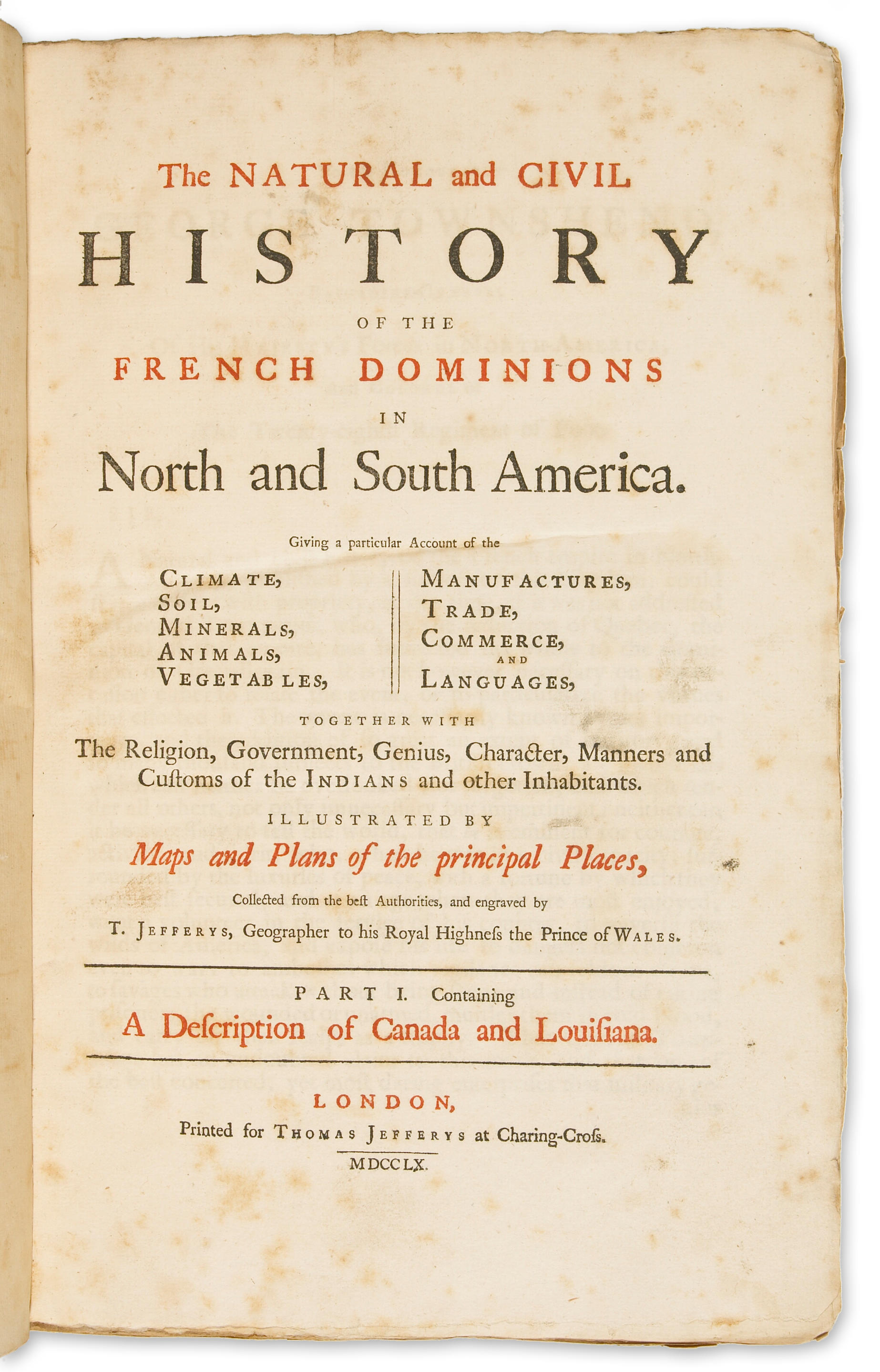
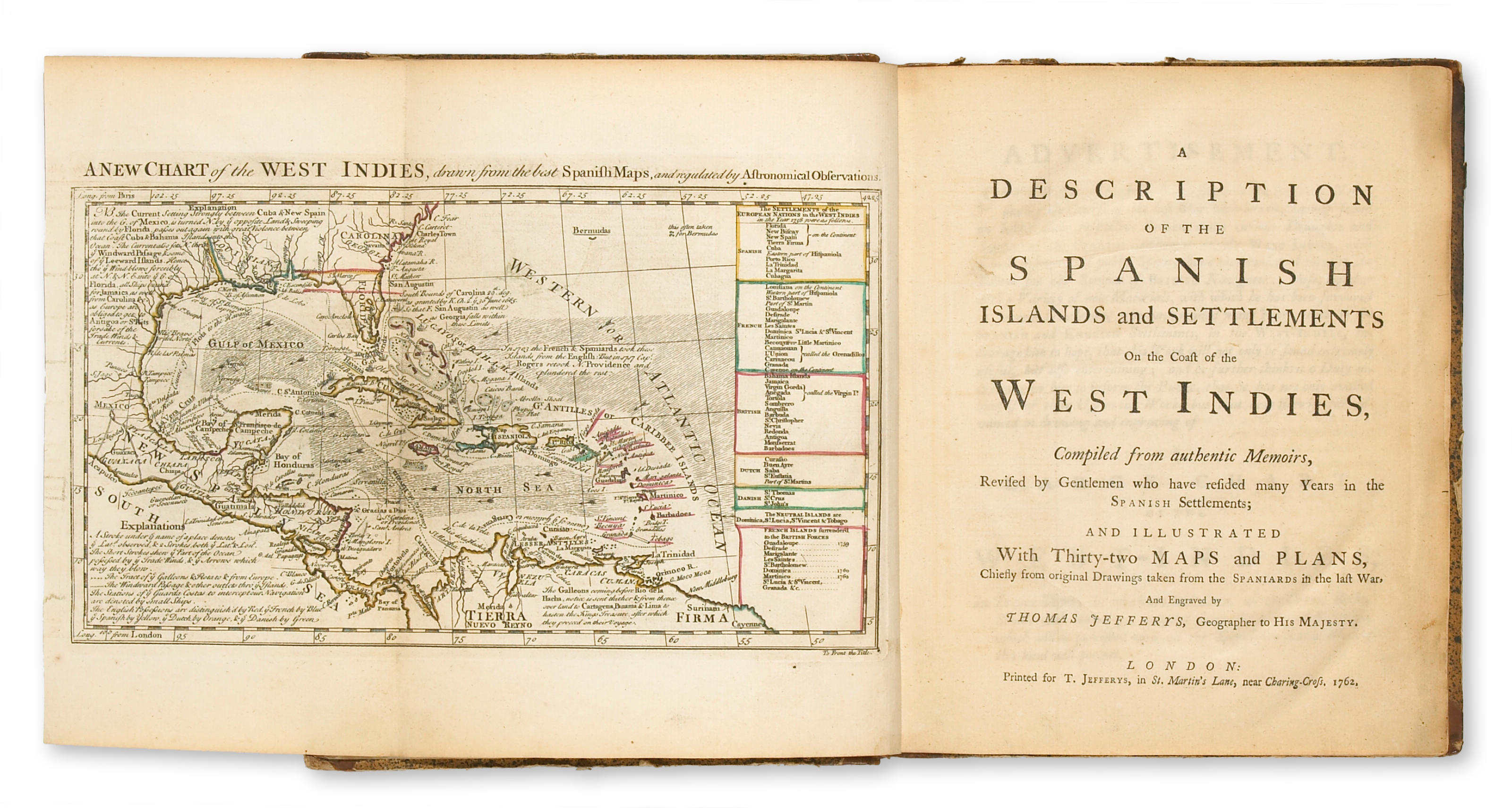
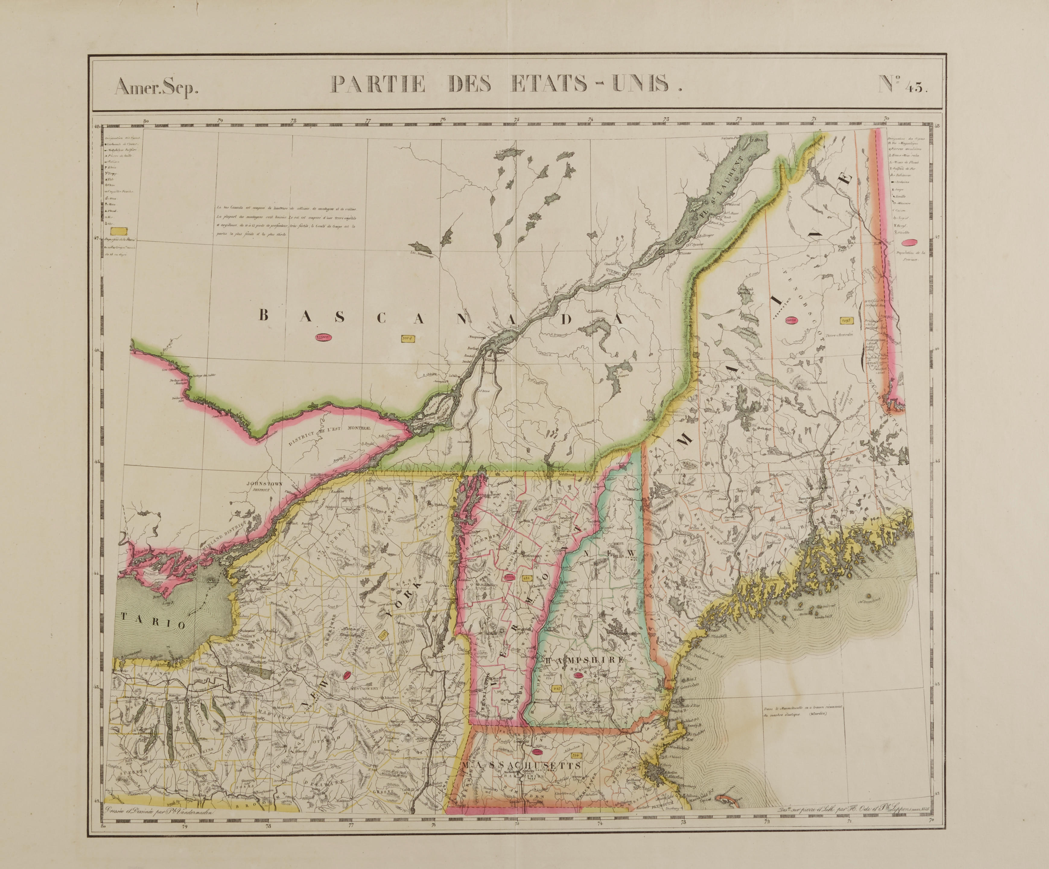
The American Atlas: or, a geographical description of the whole continent of America: wherein are delineated at large its several regions, countries, states, and islands; and chiefly the British Colonies. London: Printed and sold by R. Sayer and J. Bennett, 1776. Folio (550 x 400 mm). Letterpress title and index leaf, otherwise engraved throughout. 23 engraved maps on 30 sheets (1 single page, 11 double-page, 18 folding), all hand-colored in outline, all mounted on guards. Period half calf over marbled paper-covered boards. Light soiling to margins of title, occasional pale spotting or toning, closed tear to left-hand sheet of map 9, binding well-worn with covers detached. Condition reports of individual maps available on request, but generally quite clean and completely unsophisticated. Provenance: Estate of Philip M. and Marian G. Raup. ONE OF THE MOST IMPORTANT 18TH-CENTURY ATLASES OF THE AMERICAS, OFFERING THE MOST COMPREHENSIVE, DETAILED AND ACCURATE SURVEY OF THE AMERICAN COLONIES AT THE BEGINNING OF THE REVOLUTION: "as a major cartographic reference work it was, very likely, consulted by American, English, and French civilian administrators and military officers during the Revolution" (Ristow). Jefferys' position as Geographer to the King gave him unparalleled access to the latest surveys of the American colonies. From about 1750 onwards he published what were recognized as being the some of the most accurate maps of their time--a number were used for official purposes (boundary disputes, etc.). After Jefferys' death in November 1771, his business passed to Robert Sayer and John Bennett who, in 1775, issued (for the first time) all Jefferys' separately-issued maps in atlas form under the umbrella title The American Atlas. In this, the second edition, the publishers made a couple of significant changes: in place of Jefferys' The Middle British Colonies they included A New Map of the Province of Quebec, and a 1776 issue of Samuel Holland's The Provinces of New York and New Jersey. Howes J-81; Phillips Atlases 1165 and 1166; Sabin 35953; Streeter sale 72 (1775 edition); see Walter Ristow (editor) Thomas Jefferys The American Atlas London 1776, Amsterdam 1974. The maps are as follows (the numbering follows that used in the "Index to the maps," the measurements refer to the sheet size—this is approximate if the map is on more than one sheet): 1,2,3. Braddock Meade (alias John Green . A Chart of North and South America, including the Atlantic and Pacific Oceans. Published 10 June 1775. Six sheets joined into three, approx. 1420 x 1145 mm overall. A spectacular wall map of the Americas and beyond: a rival to and improvement on Delisle and Buache's 1752 map of the Pacific Northwest. Stevens & Tree 4(d). 4. Imperial Academy of St. Petersburg. The Russian Discoveries. Published March 2nd 1775. One sheet, 550 x 750 mm. 5,6. Thomas Pownall after E. Bowen. A New and Correct map of North America, with the West India Islands. Published 15th February, 1777. Four sheets joined into two, 1055 x 1210 mm. This map incorporates borders and other geo-political matters decided by the first treaty of Paris drawn up at the end of the French and Indian War. Pownall adapted Bowen's 1755 "North America" map for this purpose. Stevens & Tree 49(f). 7. Thomas Jefferys. North America from the French of Mr. D'Anville, Improved with the English Surveys Made since the Peace. Published 10 June 1775. One sheet, 550 x 742 mm. Stevens & Tree 51(c). 8. Samuel Dunn. A Map of the British Empire in North America. Published 17 August 1776. 1/2 sheet, 550 x 370 mm. Stevens & Tree 53(b). 9. Thomas Jefferys. An Exact Chart of the River St. Laurence from Fort Frontenac to the Island of Anticosti. Published 25 May 1775. Two sheets joined into one, 640 x 1000 mm. Stevens & Tree 76(d). 10. Sayer & Bennett. A Chart of the Gulf of St. Laurence. Published 25th March 1775. One sheet, 748 x 550 inches. 11. Capt. Samuel Holland. A Map of the Island of St. John in the Gulf of
The American Atlas: or, a geographical description of the whole continent of America: wherein are delineated at large its several regions, countries, states, and islands; and chiefly the British Colonies. London: Printed and sold by R. Sayer and J. Bennett, 1776. Folio (550 x 400 mm). Letterpress title and index leaf, otherwise engraved throughout. 23 engraved maps on 30 sheets (1 single page, 11 double-page, 18 folding), all hand-colored in outline, all mounted on guards. Period half calf over marbled paper-covered boards. Light soiling to margins of title, occasional pale spotting or toning, closed tear to left-hand sheet of map 9, binding well-worn with covers detached. Condition reports of individual maps available on request, but generally quite clean and completely unsophisticated. Provenance: Estate of Philip M. and Marian G. Raup. ONE OF THE MOST IMPORTANT 18TH-CENTURY ATLASES OF THE AMERICAS, OFFERING THE MOST COMPREHENSIVE, DETAILED AND ACCURATE SURVEY OF THE AMERICAN COLONIES AT THE BEGINNING OF THE REVOLUTION: "as a major cartographic reference work it was, very likely, consulted by American, English, and French civilian administrators and military officers during the Revolution" (Ristow). Jefferys' position as Geographer to the King gave him unparalleled access to the latest surveys of the American colonies. From about 1750 onwards he published what were recognized as being the some of the most accurate maps of their time--a number were used for official purposes (boundary disputes, etc.). After Jefferys' death in November 1771, his business passed to Robert Sayer and John Bennett who, in 1775, issued (for the first time) all Jefferys' separately-issued maps in atlas form under the umbrella title The American Atlas. In this, the second edition, the publishers made a couple of significant changes: in place of Jefferys' The Middle British Colonies they included A New Map of the Province of Quebec, and a 1776 issue of Samuel Holland's The Provinces of New York and New Jersey. Howes J-81; Phillips Atlases 1165 and 1166; Sabin 35953; Streeter sale 72 (1775 edition); see Walter Ristow (editor) Thomas Jefferys The American Atlas London 1776, Amsterdam 1974. The maps are as follows (the numbering follows that used in the "Index to the maps," the measurements refer to the sheet size—this is approximate if the map is on more than one sheet): 1,2,3. Braddock Meade (alias John Green . A Chart of North and South America, including the Atlantic and Pacific Oceans. Published 10 June 1775. Six sheets joined into three, approx. 1420 x 1145 mm overall. A spectacular wall map of the Americas and beyond: a rival to and improvement on Delisle and Buache's 1752 map of the Pacific Northwest. Stevens & Tree 4(d). 4. Imperial Academy of St. Petersburg. The Russian Discoveries. Published March 2nd 1775. One sheet, 550 x 750 mm. 5,6. Thomas Pownall after E. Bowen. A New and Correct map of North America, with the West India Islands. Published 15th February, 1777. Four sheets joined into two, 1055 x 1210 mm. This map incorporates borders and other geo-political matters decided by the first treaty of Paris drawn up at the end of the French and Indian War. Pownall adapted Bowen's 1755 "North America" map for this purpose. Stevens & Tree 49(f). 7. Thomas Jefferys. North America from the French of Mr. D'Anville, Improved with the English Surveys Made since the Peace. Published 10 June 1775. One sheet, 550 x 742 mm. Stevens & Tree 51(c). 8. Samuel Dunn. A Map of the British Empire in North America. Published 17 August 1776. 1/2 sheet, 550 x 370 mm. Stevens & Tree 53(b). 9. Thomas Jefferys. An Exact Chart of the River St. Laurence from Fort Frontenac to the Island of Anticosti. Published 25 May 1775. Two sheets joined into one, 640 x 1000 mm. Stevens & Tree 76(d). 10. Sayer & Bennett. A Chart of the Gulf of St. Laurence. Published 25th March 1775. One sheet, 748 x 550 inches. 11. Capt. Samuel Holland. A Map of the Island of St. John in the Gulf of


.jpg)


Testen Sie LotSearch und seine Premium-Features 7 Tage - ohne Kosten!
Lassen Sie sich automatisch über neue Objekte in kommenden Auktionen benachrichtigen.
Suchauftrag anlegen