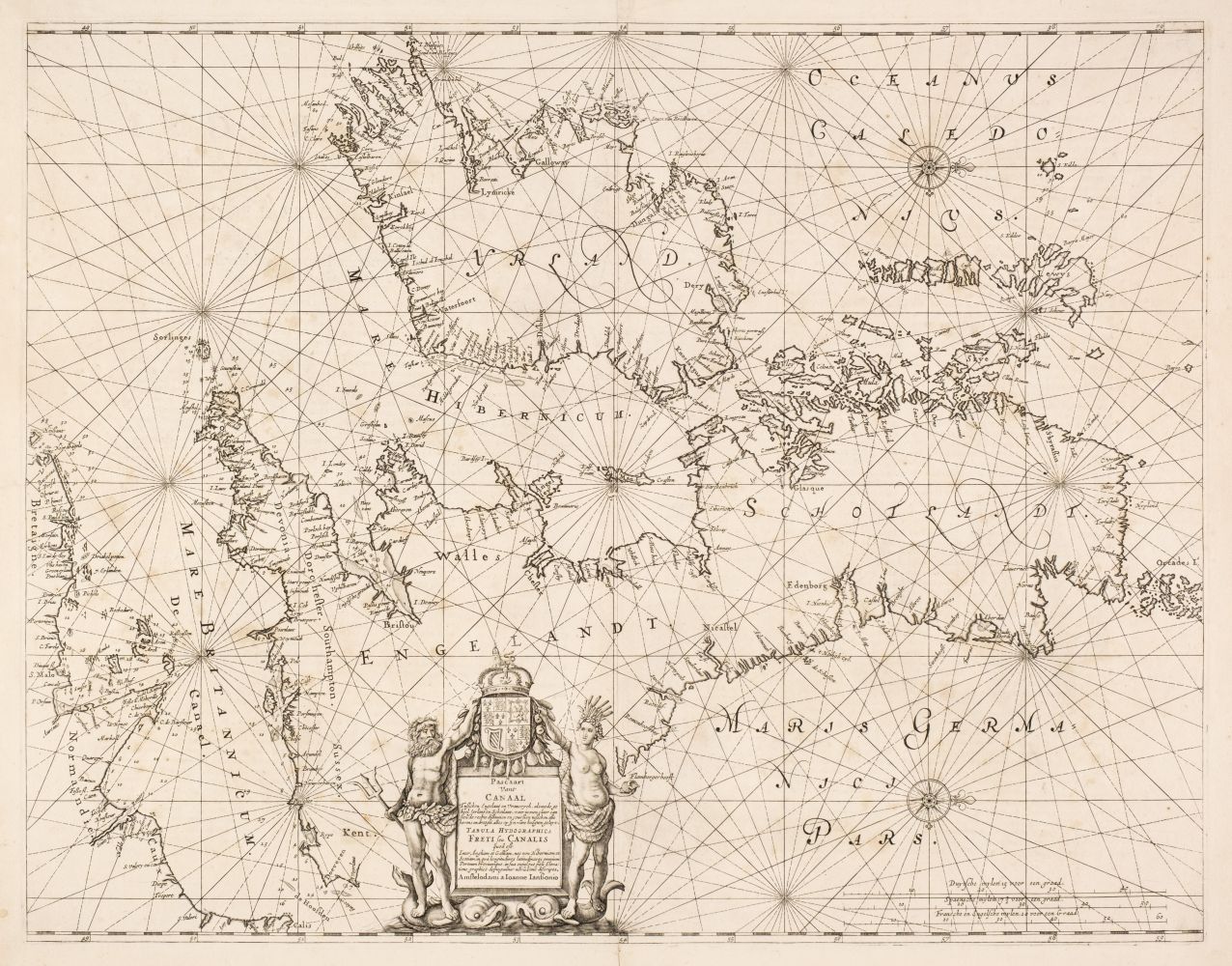
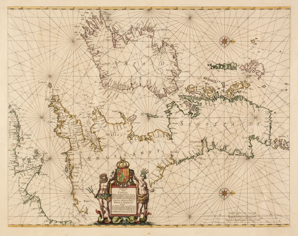
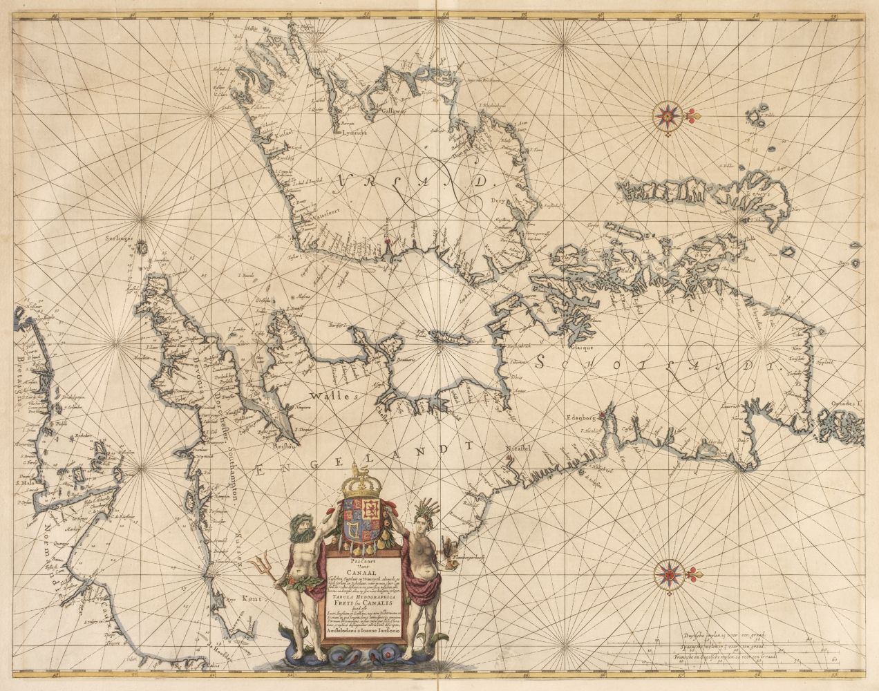
Jan JanssonNovus Atlas sive Theatrum Orbis Terrarum in quo Magna Britannia seu Angliae & Scotiae nec non Hiberniae Regna exhibentur. Tomus Quartus. [Atlas Novus volume IV. British Isles]. Amsterdam: Jan Jansson 1646
First edition with Latin text, folio (540 x 337 mm.), engraved allegorical title and 56 double-page engraved regional and county maps, hand-coloured throughout, numerous in-text engraved and woodcut illustrations, contemporary Dutch vellum gilt, spine lettered in ink "ANGLIA.", fore-edge flaps, gilt edges, housed in a modern felt-lined wooden box, blank endleaves loose, some marginal closed tears (closed tear at lower margin of "Provincia Connachtiae" extending 2cm into map), some dampstaining
A HAND-COLOURED COPY OF JANSSON'S ATLAS OF THE BRITISH ISLES, IN AN UNRESTORED CONTEMPORARY DUTCH VELLUM BINDING. This work was published by Jansson in response to his great rival Joan Blaeu publishing his atlas of England and Wales in the previous year. The work consisted of 48 maps of England and Wales together with three maps of Scotland, and five of Ireland. Jansson began work on the atlas in around 1640, for which he already had some 18 plates available. In 1644 he published 11 new English county maps in a Dutch appendix to the Atlas: but in spite of this lead his volume was not ready when Blaeu's appeared in 1645 (without however any maps of Scotland or Ireland). The majority of the maps in the atlas are based upon John Speed with ten copied from Joan Blaeu
LITERATURE:Van der Krogt, I:403.4I

.jpg?height=400)

.jpg)


Testen Sie LotSearch und seine Premium-Features 7 Tage - ohne Kosten!
Lassen Sie sich automatisch über neue Objekte in kommenden Auktionen benachrichtigen.
Suchauftrag anlegen