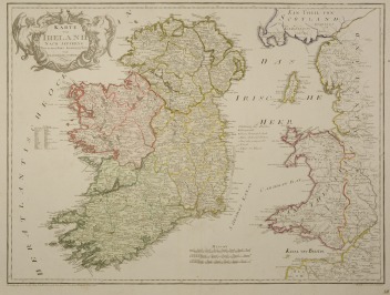
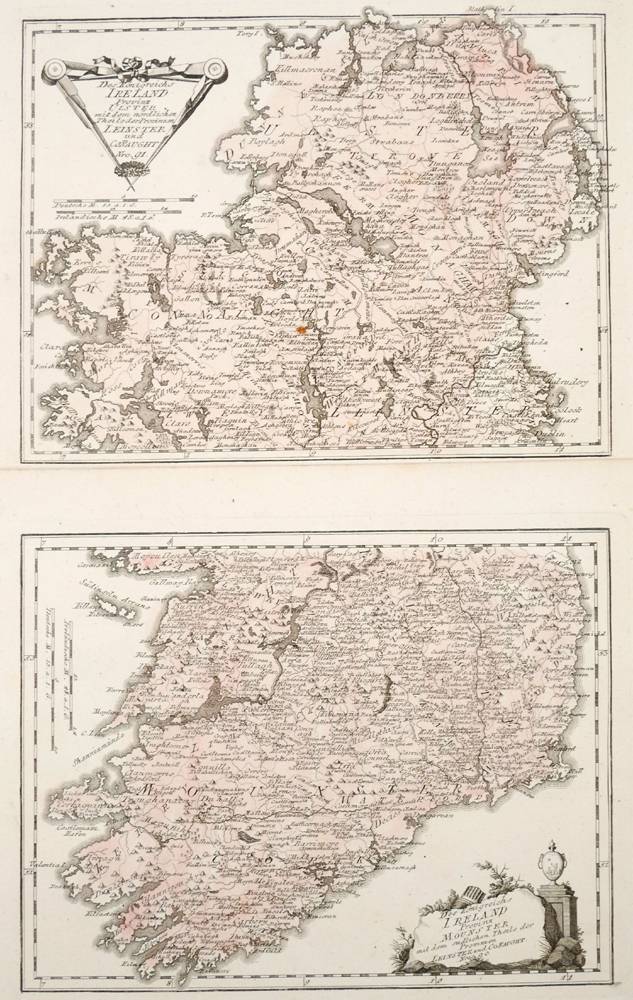
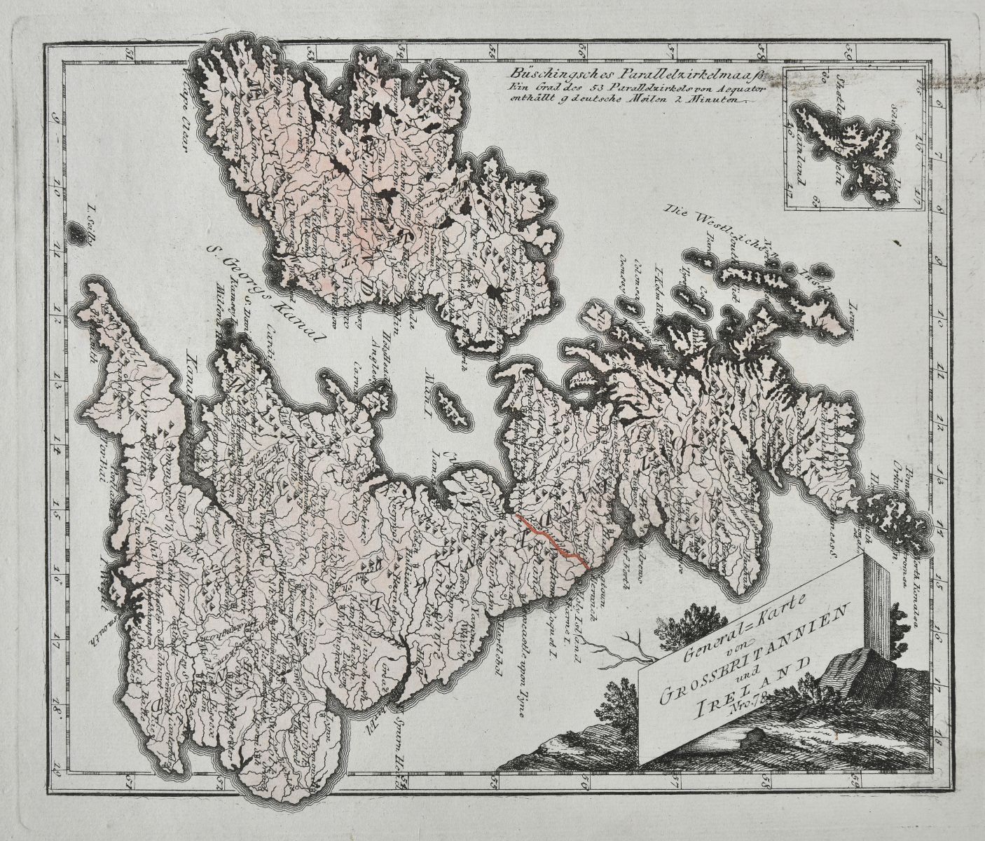
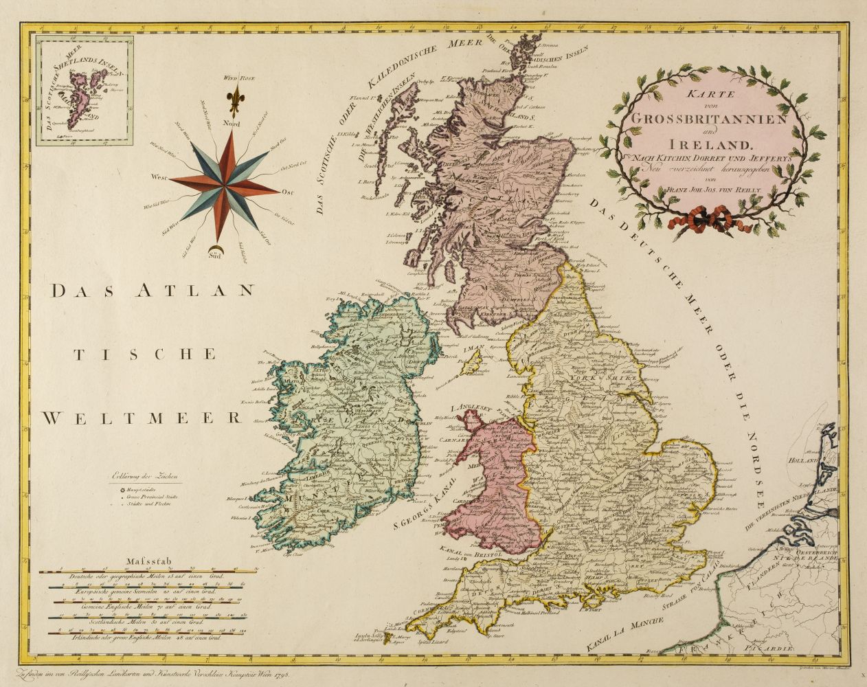
Ireland. Von Reilly (Franz Johann Joseph), Karte von Ireland nach Jefferys Neu Verzeichnet, circa 1795, engraved map with contemporary wash colouring, decorative cartouche, slight toning to the central fold, 510 x 670 mm, together with De Vaugondy (Robert). Royaume D'Irlande, Paris, 1757, engraved map with contemporary outline colouring, large uncoloured floriate cartouche and mileage scale, additional vertical crease, 495 x 610 mm, with Tennant (Lillian). Ireland [1912], colour-printed photolithographic pictorial map, 195 x 140 mm (Quantity: 3) Andrew Bonar Law. The Printed Maps of Ireland 1612 - 1850, numbers 160 & 83 (state ii) respectively.
Ireland. Von Reilly (Franz Johann Joseph), Karte von Ireland nach Jefferys Neu Verzeichnet, circa 1795, engraved map with contemporary wash colouring, decorative cartouche, slight toning to the central fold, 510 x 670 mm, together with De Vaugondy (Robert). Royaume D'Irlande, Paris, 1757, engraved map with contemporary outline colouring, large uncoloured floriate cartouche and mileage scale, additional vertical crease, 495 x 610 mm, with Tennant (Lillian). Ireland [1912], colour-printed photolithographic pictorial map, 195 x 140 mm (Quantity: 3) Andrew Bonar Law. The Printed Maps of Ireland 1612 - 1850, numbers 160 & 83 (state ii) respectively.


Testen Sie LotSearch und seine Premium-Features 7 Tage - ohne Kosten!
Lassen Sie sich automatisch über neue Objekte in kommenden Auktionen benachrichtigen.
Suchauftrag anlegen