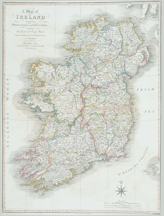
Ireland.- Faden (William) A Map of Ireland divided into Provinces and Counties, showing the Great and Cross Roads with distances of the principal Towns from Dublin, engraving with original outline hand-colouring, on laid paper without watermark, sheet 770 x 570 mm. (30 1/4 x 22 1/2 in), central horizontal fold, repairs to marginal nicks and tears, spotting and browning, surface dirt, handling creases, Dépôt des cartes et plans de la Marine ink stamp centre left, unframed, 1798.
Ireland.- Faden (William) A Map of Ireland divided into Provinces and Counties, showing the Great and Cross Roads with distances of the principal Towns from Dublin, engraving with original outline hand-colouring, on laid paper without watermark, sheet 770 x 570 mm. (30 1/4 x 22 1/2 in), central horizontal fold, repairs to marginal nicks and tears, spotting and browning, surface dirt, handling creases, Dépôt des cartes et plans de la Marine ink stamp centre left, unframed, 1798.


Testen Sie LotSearch und seine Premium-Features 7 Tage - ohne Kosten!
Lassen Sie sich automatisch über neue Objekte in kommenden Auktionen benachrichtigen.
Suchauftrag anlegen