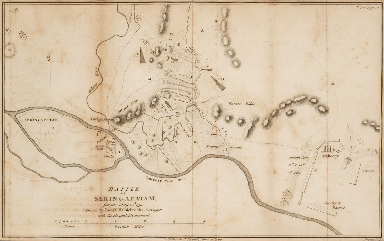
India.- Rennell (James) A Bengal Atlas: containing Maps of the War and Commerce on that side of Hindoostan, second edition, letterpress title and contents leaf, engraved index map, double-page view and 20 maps, all but one double-page, some also folding, the first ten with outline hand-colouring, with a further 3 maps of Hindostan by Rennell on 8 double-page and/or folding engraved sheets bound in at end, all with outline hand-colouring, some with cartouches, additional maps added to list of contents in manuscript, all mounted on stubs, some light spotting and soiling, one or two browned, with some military manuscript maps and other material loosely inserted, modern half red morocco over marbled boards, spine elaborately gilt, folio, 1781. ⁂ The 3 additional engraved maps by Rennell bound in are: Map of Bengal, Bahar, Oude and Allahabad, 1786 (2 sheets); General Map of Hindoostan, 1782 (2 sheets); General Map of Hindoostan, 1788 (4 sheets). The loosely-inserted additional material comprises: Sketch of Roads by Maj.F.Abbott, ink & watercolour on tracing paper, c.620 x 275mm.; Sketch of the Bheta-ki-Puttun on the River Beas by Capt. W.Abercrombie, ink & watercolour, c.280 x 210mm., some worming with loss; [Sketch of roads east of Amritsir], ink & watercolour, c.230 x 185mm.; Map of Cantonments of Agra, printed with hand-colouring, c.250 x 330mm.; Plan of a Church...in the Nizam's Station of Bolarum 1845/46 constructed by Capt. G.F.C.FitzGerald, lihograph with caption in manuscript, c.320 x 200mm.; Explanation of a View of the City of Calcutt, exhibiting at the Panorama, Leicester Square, engraving, c.285 x 450mm.
India.- Rennell (James) A Bengal Atlas: containing Maps of the War and Commerce on that side of Hindoostan, second edition, letterpress title and contents leaf, engraved index map, double-page view and 20 maps, all but one double-page, some also folding, the first ten with outline hand-colouring, with a further 3 maps of Hindostan by Rennell on 8 double-page and/or folding engraved sheets bound in at end, all with outline hand-colouring, some with cartouches, additional maps added to list of contents in manuscript, all mounted on stubs, some light spotting and soiling, one or two browned, with some military manuscript maps and other material loosely inserted, modern half red morocco over marbled boards, spine elaborately gilt, folio, 1781. ⁂ The 3 additional engraved maps by Rennell bound in are: Map of Bengal, Bahar, Oude and Allahabad, 1786 (2 sheets); General Map of Hindoostan, 1782 (2 sheets); General Map of Hindoostan, 1788 (4 sheets). The loosely-inserted additional material comprises: Sketch of Roads by Maj.F.Abbott, ink & watercolour on tracing paper, c.620 x 275mm.; Sketch of the Bheta-ki-Puttun on the River Beas by Capt. W.Abercrombie, ink & watercolour, c.280 x 210mm., some worming with loss; [Sketch of roads east of Amritsir], ink & watercolour, c.230 x 185mm.; Map of Cantonments of Agra, printed with hand-colouring, c.250 x 330mm.; Plan of a Church...in the Nizam's Station of Bolarum 1845/46 constructed by Capt. G.F.C.FitzGerald, lihograph with caption in manuscript, c.320 x 200mm.; Explanation of a View of the City of Calcutt, exhibiting at the Panorama, Leicester Square, engraving, c.285 x 450mm.


.jpg)


Testen Sie LotSearch und seine Premium-Features 7 Tage - ohne Kosten!
Lassen Sie sich automatisch über neue Objekte in kommenden Auktionen benachrichtigen.
Suchauftrag anlegen