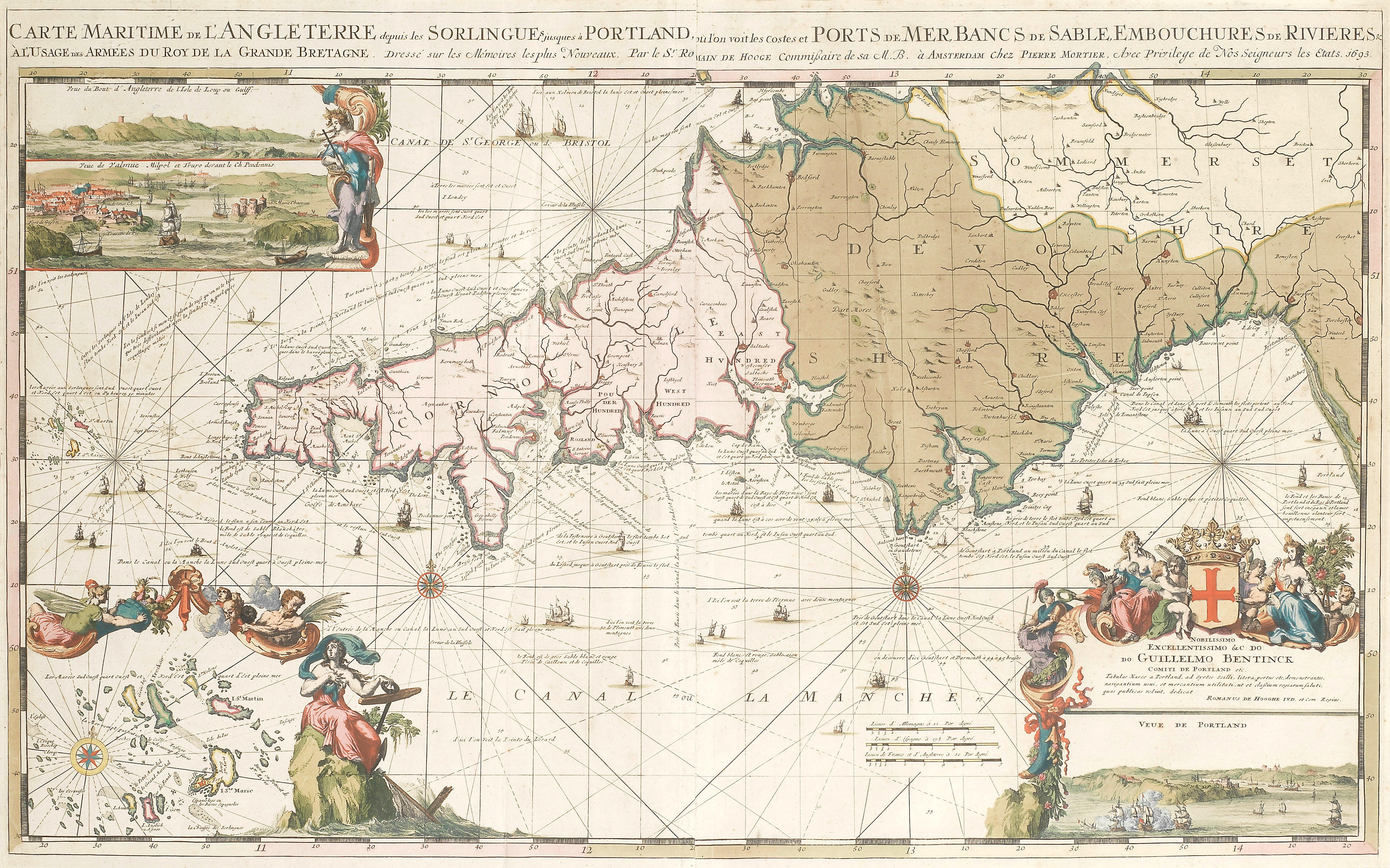
HOOGHE, Romein de (1645-1708). Carte Nouvelle des Costes de Normandie et de Bretagne despuis le Havre De Grace jusques a Morlaix . Amsterdam: Pieter Mortier, [1693, date erased]. Highly decorative chart demonstrating the excellence of de Hooghe's engraving, coloured in outline by a contemporary hand, covering Normandy, northern Brittany and centring on the Channel Islands. Koeman IV M.Mor 5 E, chart 4. Engraved double-page map, outlined in colour by a contemporary hand , inset views of Granville and Mont-Saint-Michel within ornate border affixed to the arms of the dedicatee Stephan van der Does, plans of Le Havre, Honfleur and Cherbourg within a border composed of floral swags, as well as a coastal profile view of the eastern Cherbourg peninsula complete with sword- and trident wielding mermen in pursuit of mermaids, rhumb lines intersecting at 3 compass roses, decorative sailing ships, 595 x 958mm (plate mark), 623 x 990mm (sheet).
HOOGHE, Romein de (1645-1708). Carte Nouvelle des Costes de Normandie et de Bretagne despuis le Havre De Grace jusques a Morlaix . Amsterdam: Pieter Mortier, [1693, date erased]. Highly decorative chart demonstrating the excellence of de Hooghe's engraving, coloured in outline by a contemporary hand, covering Normandy, northern Brittany and centring on the Channel Islands. Koeman IV M.Mor 5 E, chart 4. Engraved double-page map, outlined in colour by a contemporary hand , inset views of Granville and Mont-Saint-Michel within ornate border affixed to the arms of the dedicatee Stephan van der Does, plans of Le Havre, Honfleur and Cherbourg within a border composed of floral swags, as well as a coastal profile view of the eastern Cherbourg peninsula complete with sword- and trident wielding mermen in pursuit of mermaids, rhumb lines intersecting at 3 compass roses, decorative sailing ships, 595 x 958mm (plate mark), 623 x 990mm (sheet).

.jpg?w=400?width=1600&quality=70)
.jpg?w=400?width=1600&quality=70)
.jpg)


Try LotSearch and its premium features for 7 days - without any costs!
Be notified automatically about new items in upcoming auctions.
Create an alert