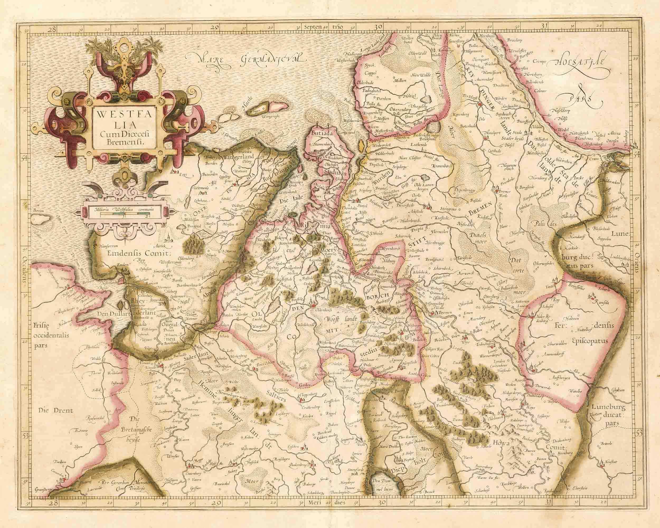
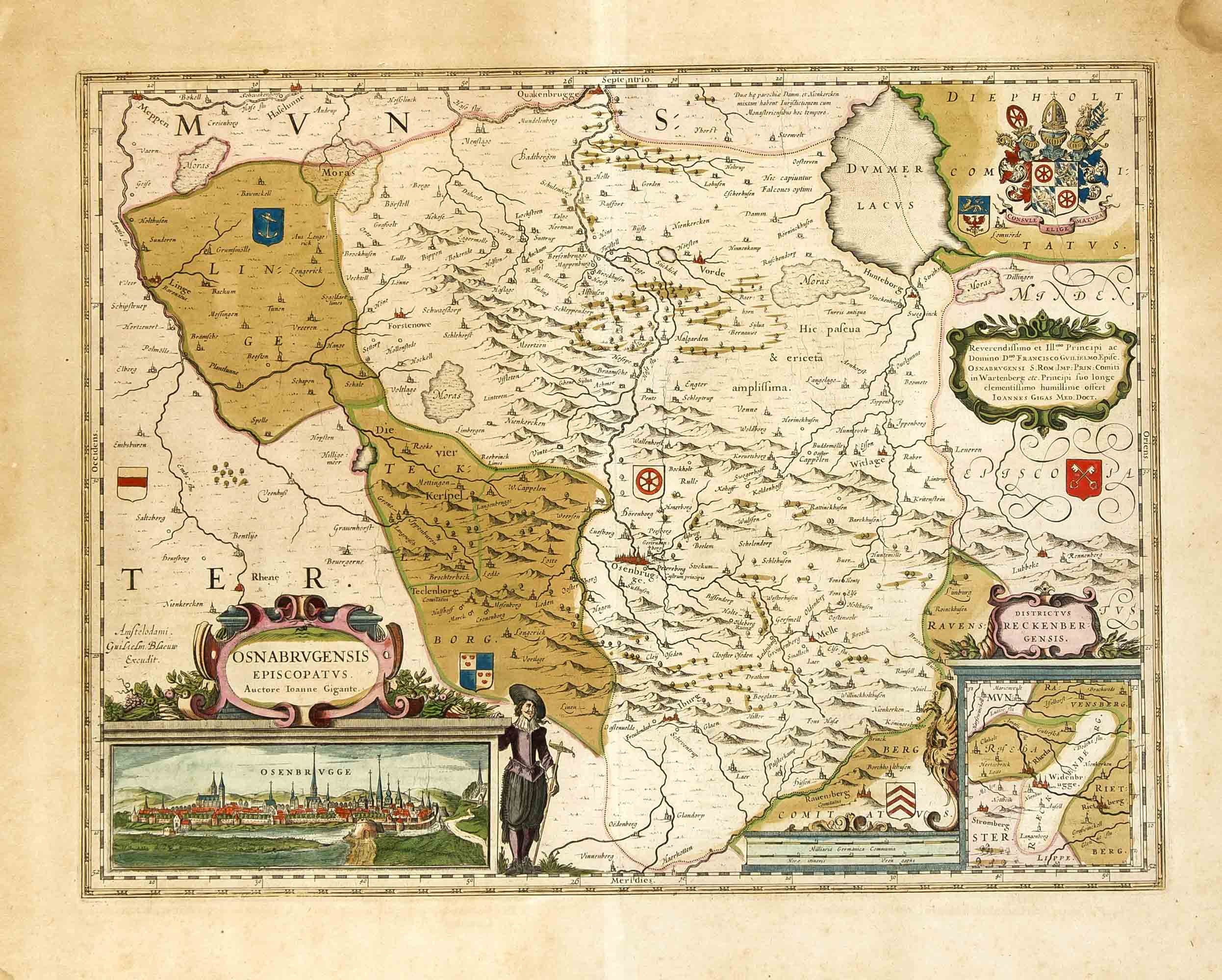
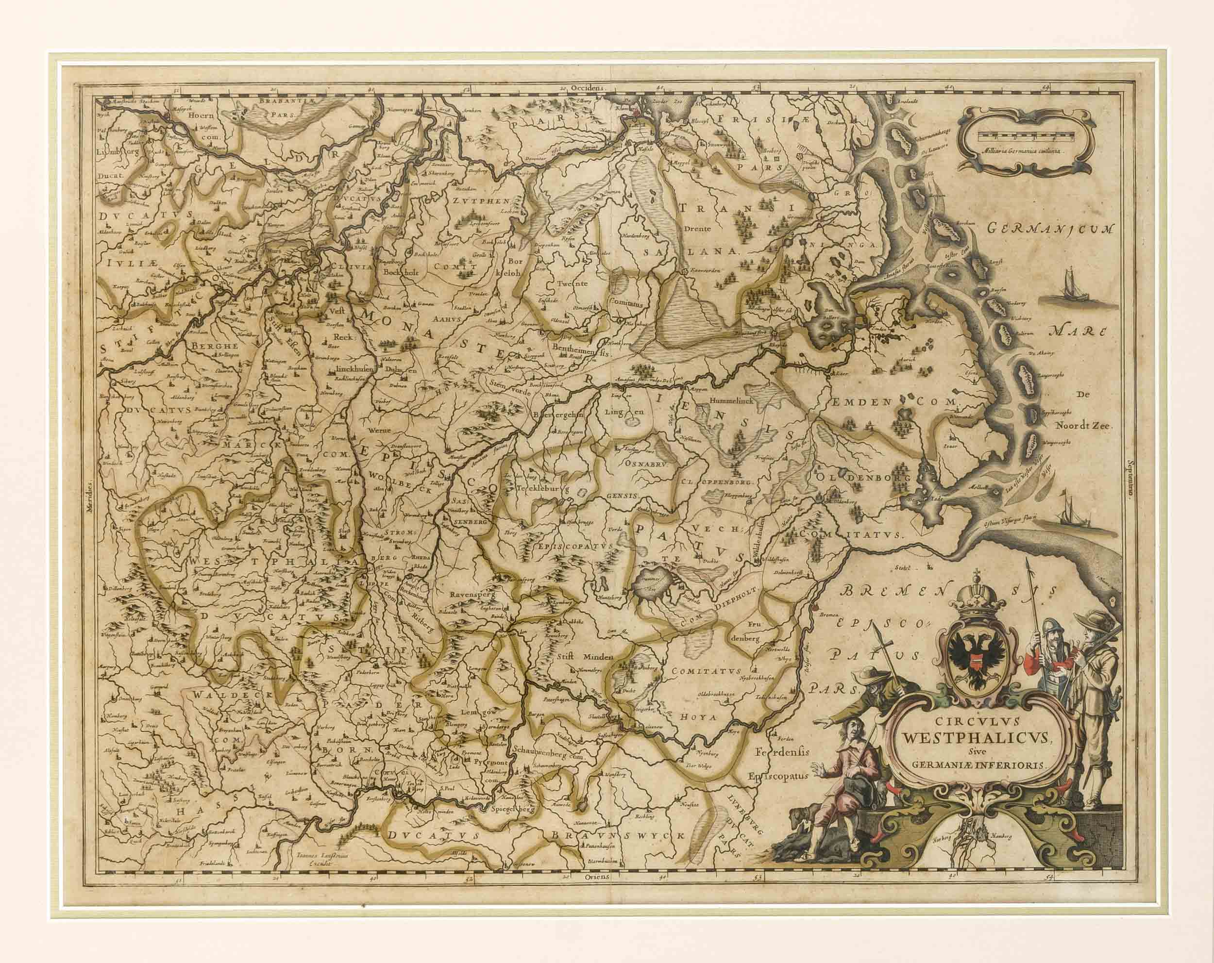
Historische Karte von Westfalen, 'Westphaliae Totius, Finitimarumque Regionum Accurata Descriptio', altkol. Kupferstich von Christian Sgrooten Ortelius 1579, Karte des Gebietes zwischen Rhein und Weser, Köln und der Nordsee-Küste mit Ostfriesland, Emsland, Oldenburger und Osnabrücker Land, Münsterland und dem Ruhrgebiet, dekorative, frühe Karte mit großer Rollwerk-Titelkartusche, leicht gebräunt u. fleckig, Mittelfalz, Plattenmaße 34,5 x 50 cm, hinter Glas in schmaler Leiste 41,5 x 56 cm
Historische Karte von Westfalen, 'Westphaliae Totius, Finitimarumque Regionum Accurata Descriptio', altkol. Kupferstich von Christian Sgrooten Ortelius 1579, Karte des Gebietes zwischen Rhein und Weser, Köln und der Nordsee-Küste mit Ostfriesland, Emsland, Oldenburger und Osnabrücker Land, Münsterland und dem Ruhrgebiet, dekorative, frühe Karte mit großer Rollwerk-Titelkartusche, leicht gebräunt u. fleckig, Mittelfalz, Plattenmaße 34,5 x 50 cm, hinter Glas in schmaler Leiste 41,5 x 56 cm


Try LotSearch and its premium features for 7 days - without any costs!
Be notified automatically about new items in upcoming auctions.
Create an alert