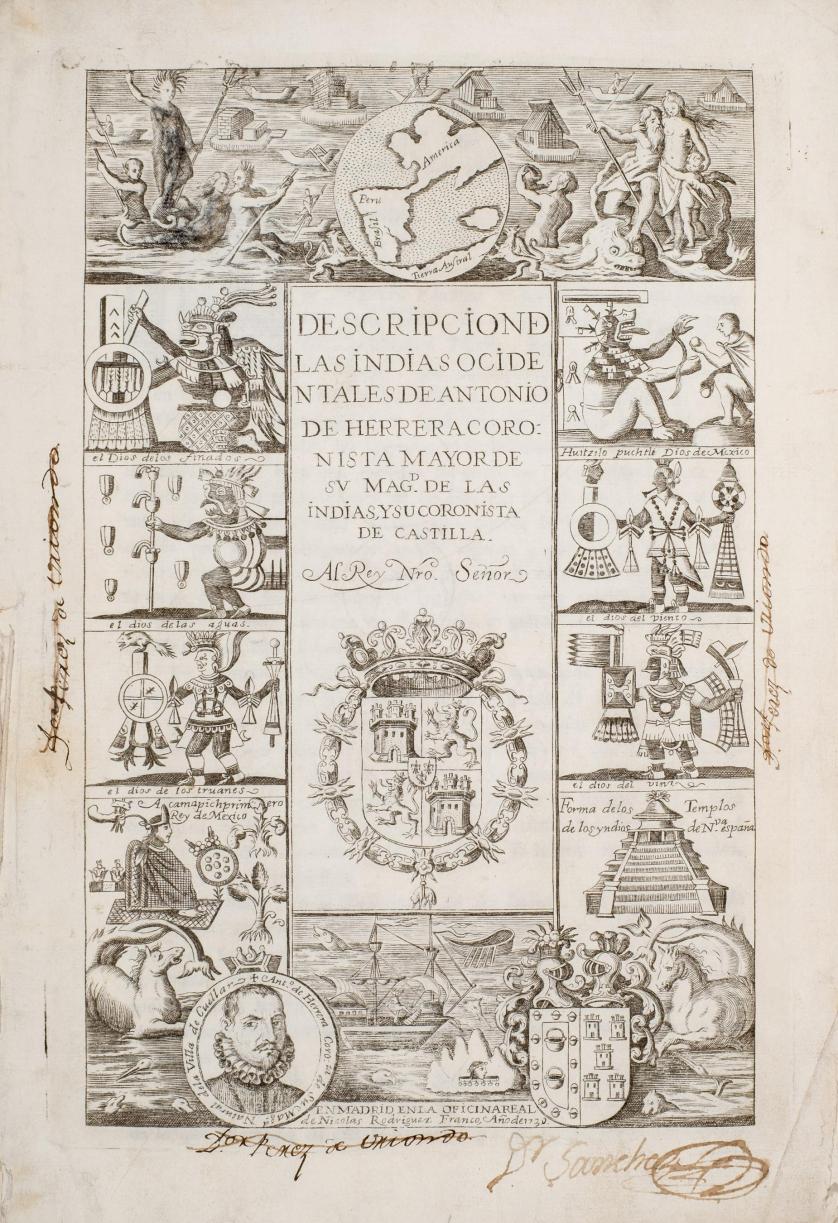
HERRERA, Antonio de (1559-1625). Historia general de los hechos de los castellanos en las islas y tierra firme del mar oceano . Madrid: Imprenta Real, 1730-1726-1730. 8 decades and the "Descripcion de las Indias Occidentales" bound in 5 volumes, 2 o (298 x 208 mm). Nine engraved titles, 14 engraved folding maps. 19th-century marbled sheep, each spine with red and black morocco label (some light wear to spines and edges). Provenance : Direccion General de Ultramar (early ink stamp); Ministerio de la Governacion del Relno (early ink stamp). Third Spanish edition, with the "Descripcion" and the "Tabla" bound together as the fifth volume. An essential work for the study of the discovery, conquest and colonization of America, preferred in the third edition because it was compiled, amended and enlarged by Andres Gonzalez Barcia with the addition of the Tabla General de cosas notables bound at the end of volume IV. The "Descripcion de las Indias Occidentales" is in volume I, with a different engraved title and separate foliation; it includes 14 maps of the American coasts, Caribbean, Gulf of Mexico, Pacific, Philippines, Moluccas Islands and Japan. "There are copies of this edition dated 1727, 1728, 1729 and 1730, which are all alike except as the date-the work not having been completed till that year-the publishers changing the dates as circumstances suggested" (Sabin). Sabin calls for 12 preliminary leaves in the Decada primera of 1725, the above, dated 1730 has only 6. Alden and Landis 733/118; Medina 2580; Sabin 31546; Palau 114287. (5)
HERRERA, Antonio de (1559-1625). Historia general de los hechos de los castellanos en las islas y tierra firme del mar oceano . Madrid: Imprenta Real, 1730-1726-1730. 8 decades and the "Descripcion de las Indias Occidentales" bound in 5 volumes, 2 o (298 x 208 mm). Nine engraved titles, 14 engraved folding maps. 19th-century marbled sheep, each spine with red and black morocco label (some light wear to spines and edges). Provenance : Direccion General de Ultramar (early ink stamp); Ministerio de la Governacion del Relno (early ink stamp). Third Spanish edition, with the "Descripcion" and the "Tabla" bound together as the fifth volume. An essential work for the study of the discovery, conquest and colonization of America, preferred in the third edition because it was compiled, amended and enlarged by Andres Gonzalez Barcia with the addition of the Tabla General de cosas notables bound at the end of volume IV. The "Descripcion de las Indias Occidentales" is in volume I, with a different engraved title and separate foliation; it includes 14 maps of the American coasts, Caribbean, Gulf of Mexico, Pacific, Philippines, Moluccas Islands and Japan. "There are copies of this edition dated 1727, 1728, 1729 and 1730, which are all alike except as the date-the work not having been completed till that year-the publishers changing the dates as circumstances suggested" (Sabin). Sabin calls for 12 preliminary leaves in the Decada primera of 1725, the above, dated 1730 has only 6. Alden and Landis 733/118; Medina 2580; Sabin 31546; Palau 114287. (5)


.jpg)


Try LotSearch and its premium features for 7 days - without any costs!
Be notified automatically about new items in upcoming auctions.
Create an alert