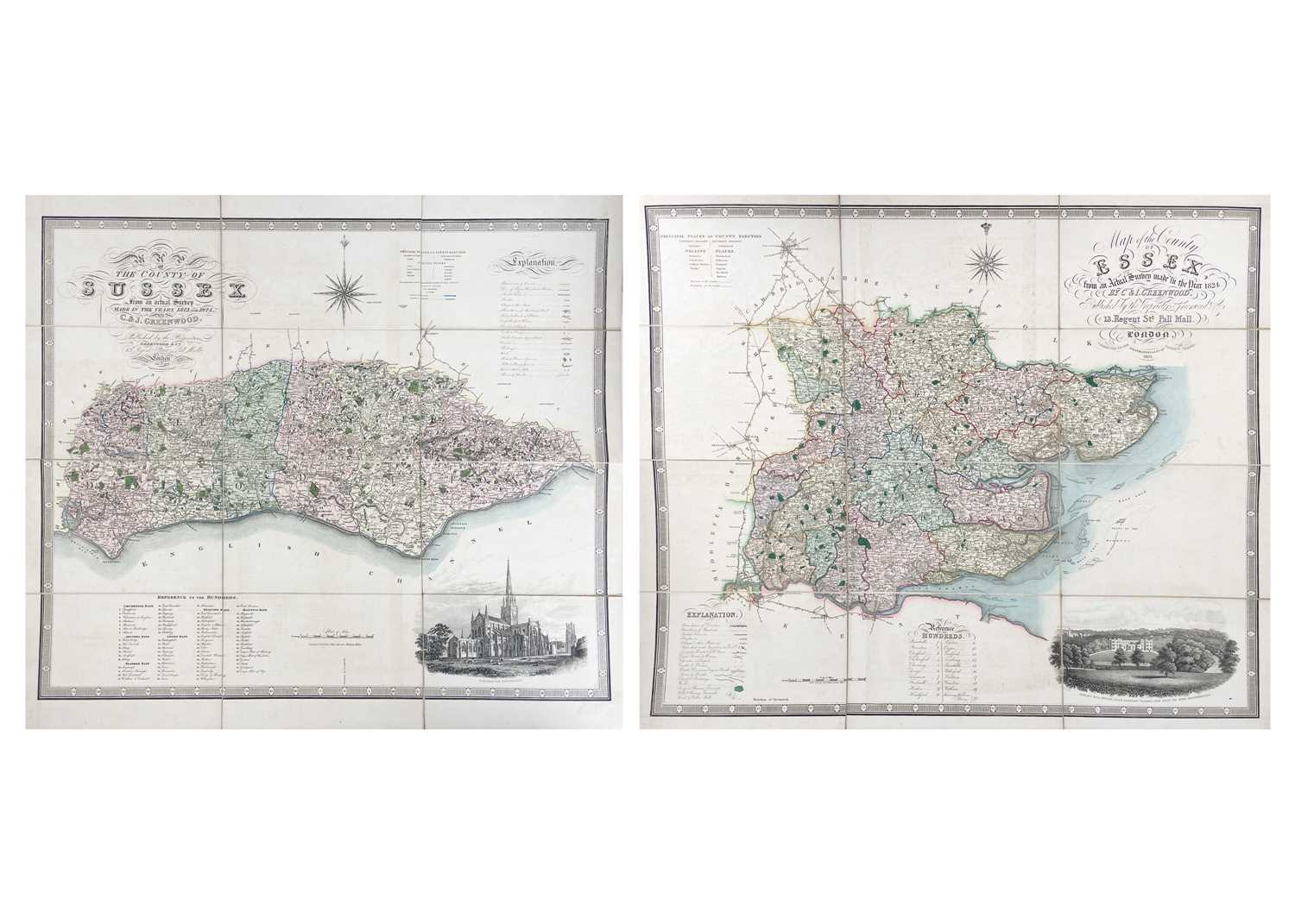
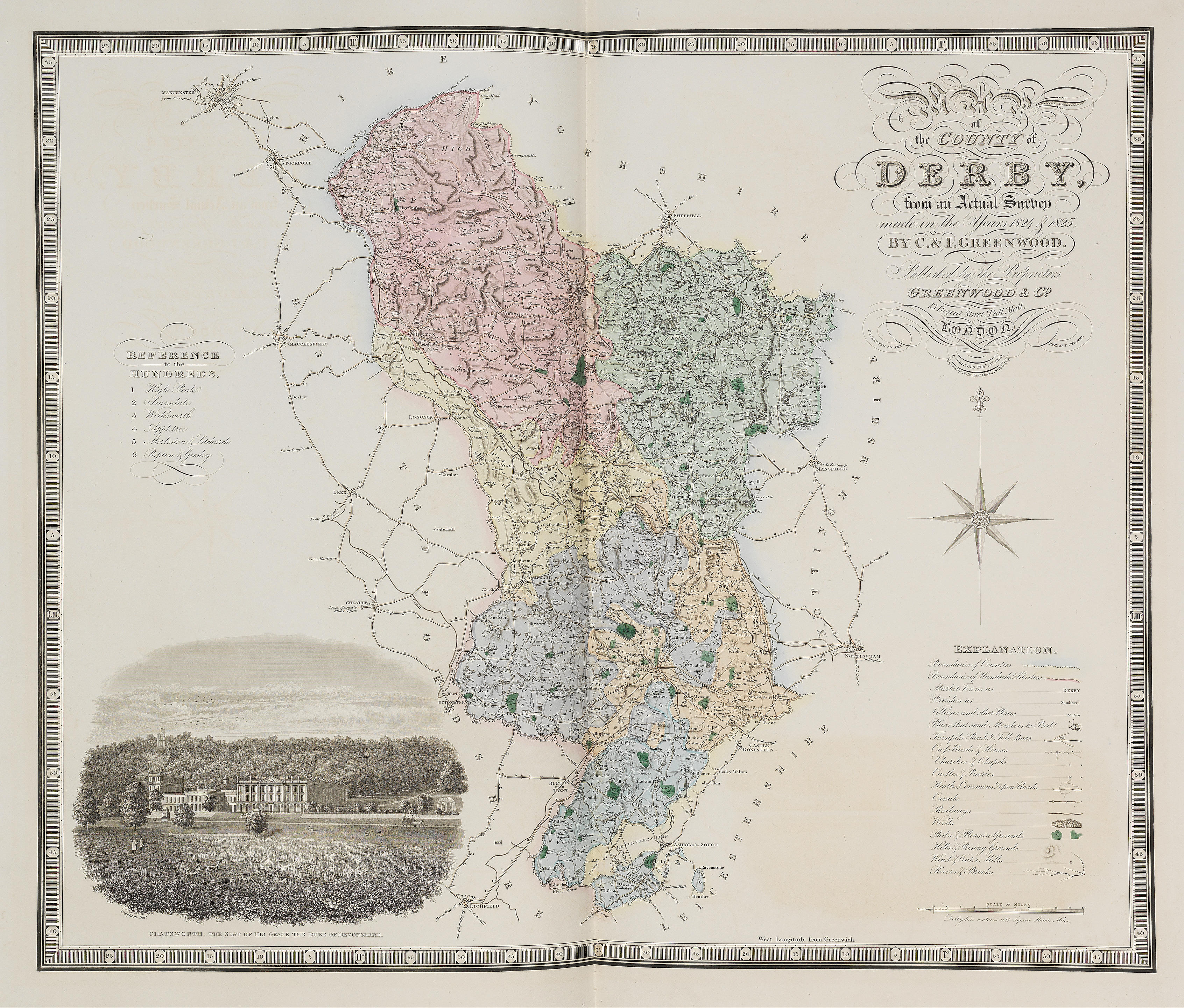
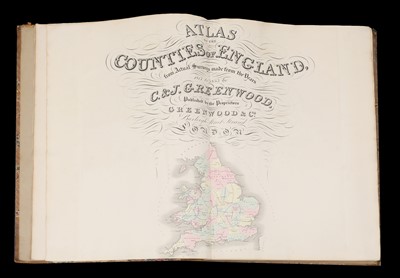
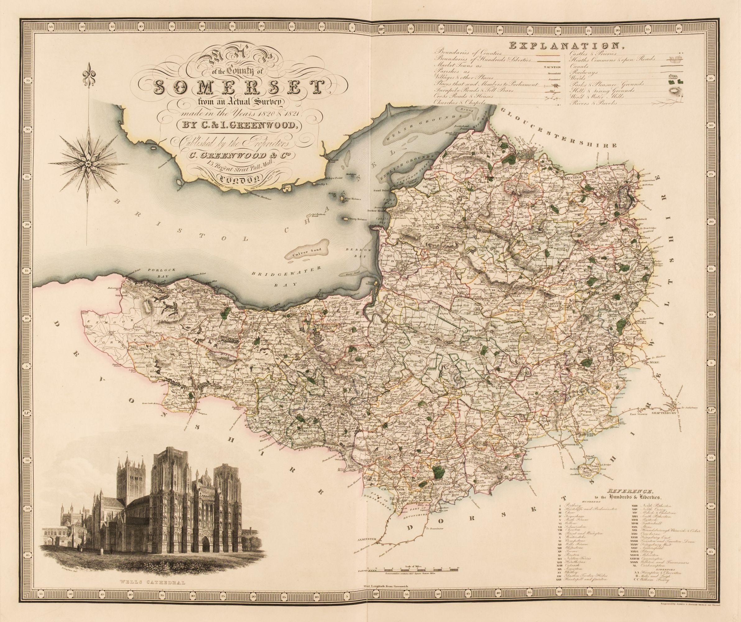
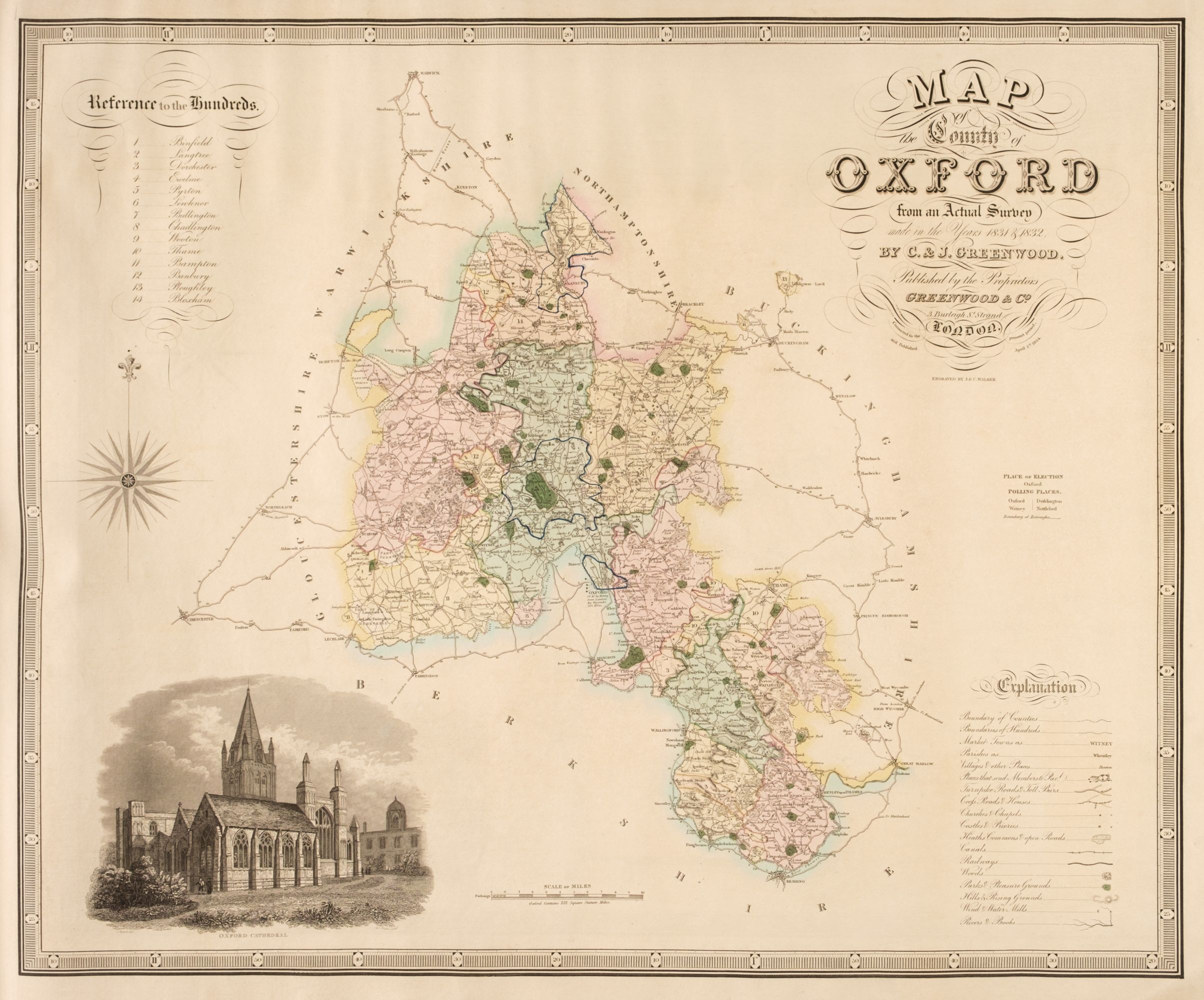
GREENWOOD, C. & J. Atlas of England, London: C. & J. Greenwood], maps dated 1829. Oblong 2 (565 x 670mm.), 11 hand-coloured engraved maps only (of 46, several torn and repaired, occasional spotting and fraying), contemporary wrappers (worn). The maps are of Middlesex, Surrey, Berkshire, Wiltshire, Kent, Sussex, Hampshire, Dorset, Somerset, Devon and Cornwall.
GREENWOOD, C. & J. Atlas of England, London: C. & J. Greenwood], maps dated 1829. Oblong 2 (565 x 670mm.), 11 hand-coloured engraved maps only (of 46, several torn and repaired, occasional spotting and fraying), contemporary wrappers (worn). The maps are of Middlesex, Surrey, Berkshire, Wiltshire, Kent, Sussex, Hampshire, Dorset, Somerset, Devon and Cornwall.





Testen Sie LotSearch und seine Premium-Features 7 Tage - ohne Kosten!
Lassen Sie sich automatisch über neue Objekte in kommenden Auktionen benachrichtigen.
Suchauftrag anlegen