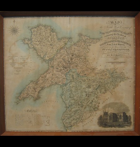
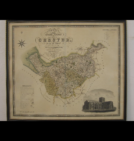
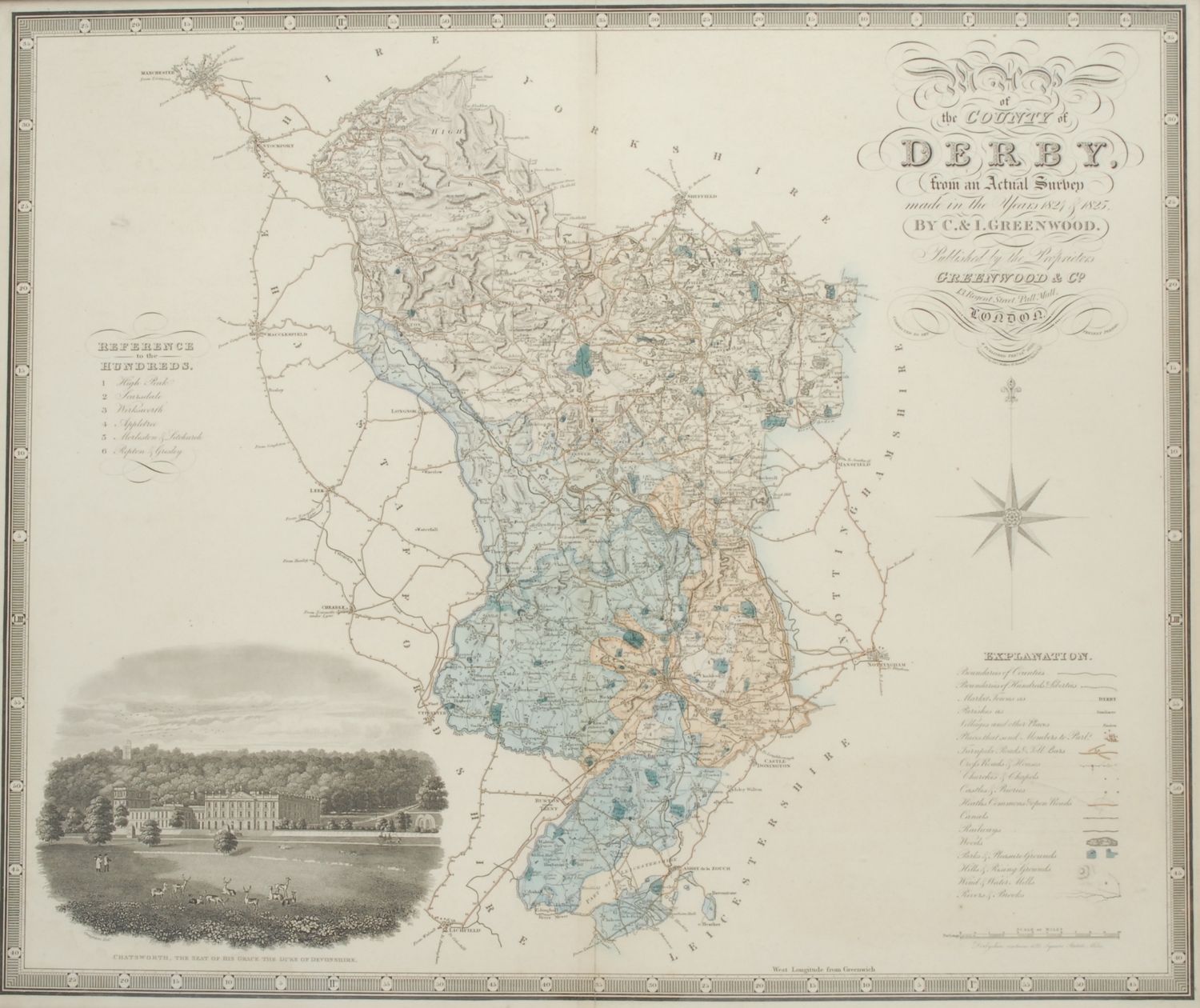
Greenwood (C. & J.). A Collection of Eight County Maps: Map of the North Riding of the County of York..., Map of the East Riding of the County of York..., Map of the County Palatine of Durham, Map of the County of Stafford, Map of the County of Surrey (3 copies) & Map of the County Palatine of Lancaster, circa 1835, eight engraved maps, all with contemporary wash colouring, a few maps with repaired marginal closed tears, one map of Surrey laid on later card and another trimmed to the image and laid on later linen, each approximately 625 x 775 mm, together with Cary (John). A Map of Berkshire from the best Authorities [and] A Map of Cambridge from the best Authorities, 1805, two hand-coloured engraved maps, each approximately 410 x 535 mm, with Bowen (Emanuel). An Accurate Map of Nottingham Shire Describing its Wapontakes and Divisions..., An Accurate Map of Shropshire Divided into its Hundreds..., [and] An Improved Map of the County of Stafford Divided into its Hundreds..., circa 1765, three engraved maps with contemporary outline colouring, Nottinghamshire with some later enhancement, Stafford and Shropshire with some staining and laid on later card, each approximately 710 x 530 mm, Stafford and Shropshire mounted (Quantity: 13)
Greenwood (C. & J.). A Collection of Eight County Maps: Map of the North Riding of the County of York..., Map of the East Riding of the County of York..., Map of the County Palatine of Durham, Map of the County of Stafford, Map of the County of Surrey (3 copies) & Map of the County Palatine of Lancaster, circa 1835, eight engraved maps, all with contemporary wash colouring, a few maps with repaired marginal closed tears, one map of Surrey laid on later card and another trimmed to the image and laid on later linen, each approximately 625 x 775 mm, together with Cary (John). A Map of Berkshire from the best Authorities [and] A Map of Cambridge from the best Authorities, 1805, two hand-coloured engraved maps, each approximately 410 x 535 mm, with Bowen (Emanuel). An Accurate Map of Nottingham Shire Describing its Wapontakes and Divisions..., An Accurate Map of Shropshire Divided into its Hundreds..., [and] An Improved Map of the County of Stafford Divided into its Hundreds..., circa 1765, three engraved maps with contemporary outline colouring, Nottinghamshire with some later enhancement, Stafford and Shropshire with some staining and laid on later card, each approximately 710 x 530 mm, Stafford and Shropshire mounted (Quantity: 13)




Testen Sie LotSearch und seine Premium-Features 7 Tage - ohne Kosten!
Lassen Sie sich automatisch über neue Objekte in kommenden Auktionen benachrichtigen.
Suchauftrag anlegen