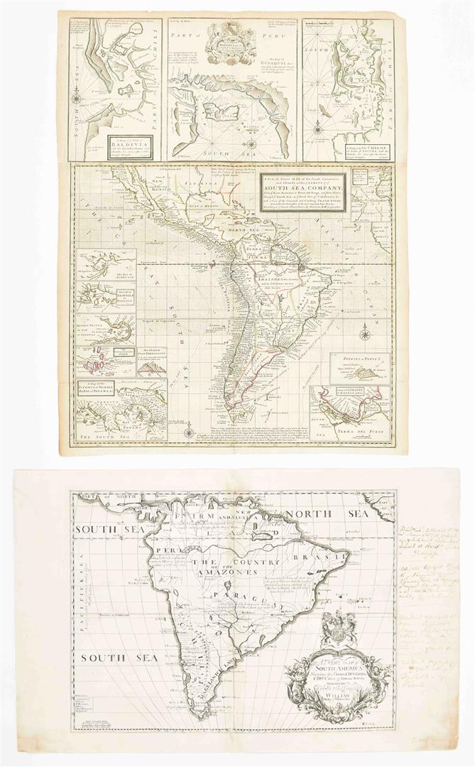
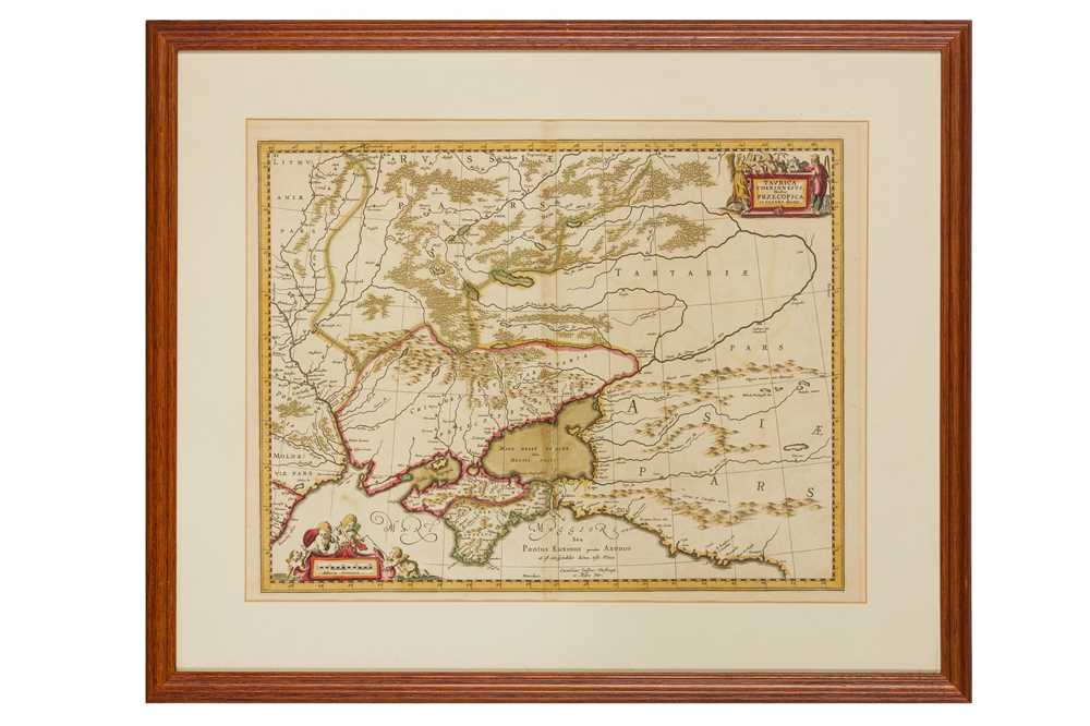
from 'A New Sett of Maps both of Antient and Present Geography', engraved map with hand-colouring, 370 x 480mm., central vertical fold, light surface dirt and spotting, [c.1700]; with a mixed group of national and regional maps of Germany, including Upper Saxony, Rhineland, Southern Germany, Bavaria, by or after Malte-Brun, Milner, Laurie & Whittle, Lizars, Longman, Garnier, and others, engravings, some with hand-colouring, v.s., largest c.610 x 860mm., occasional folds, browning and surface dirt, 18th and 19th century (25).
from 'A New Sett of Maps both of Antient and Present Geography', engraved map with hand-colouring, 370 x 480mm., central vertical fold, light surface dirt and spotting, [c.1700]; with a mixed group of national and regional maps of Germany, including Upper Saxony, Rhineland, Southern Germany, Bavaria, by or after Malte-Brun, Milner, Laurie & Whittle, Lizars, Longman, Garnier, and others, engravings, some with hand-colouring, v.s., largest c.610 x 860mm., occasional folds, browning and surface dirt, 18th and 19th century (25).


.jpg)


Testen Sie LotSearch und seine Premium-Features 7 Tage - ohne Kosten!
Lassen Sie sich automatisch über neue Objekte in kommenden Auktionen benachrichtigen.
Suchauftrag anlegen