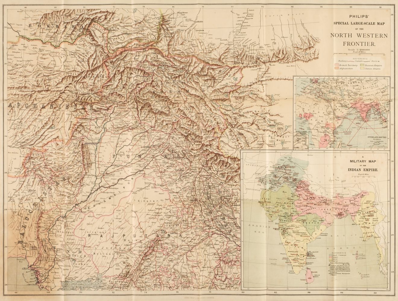
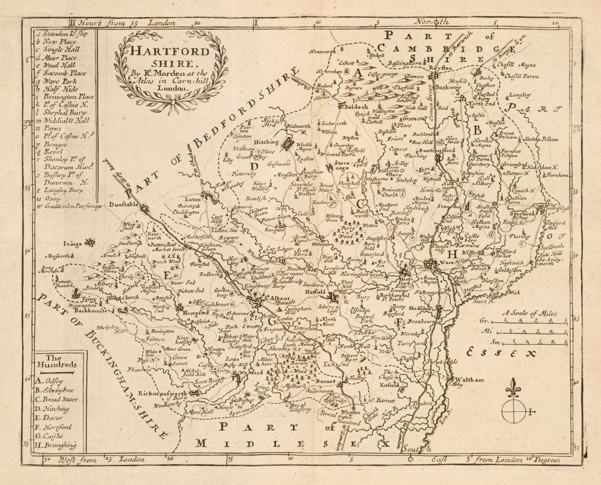
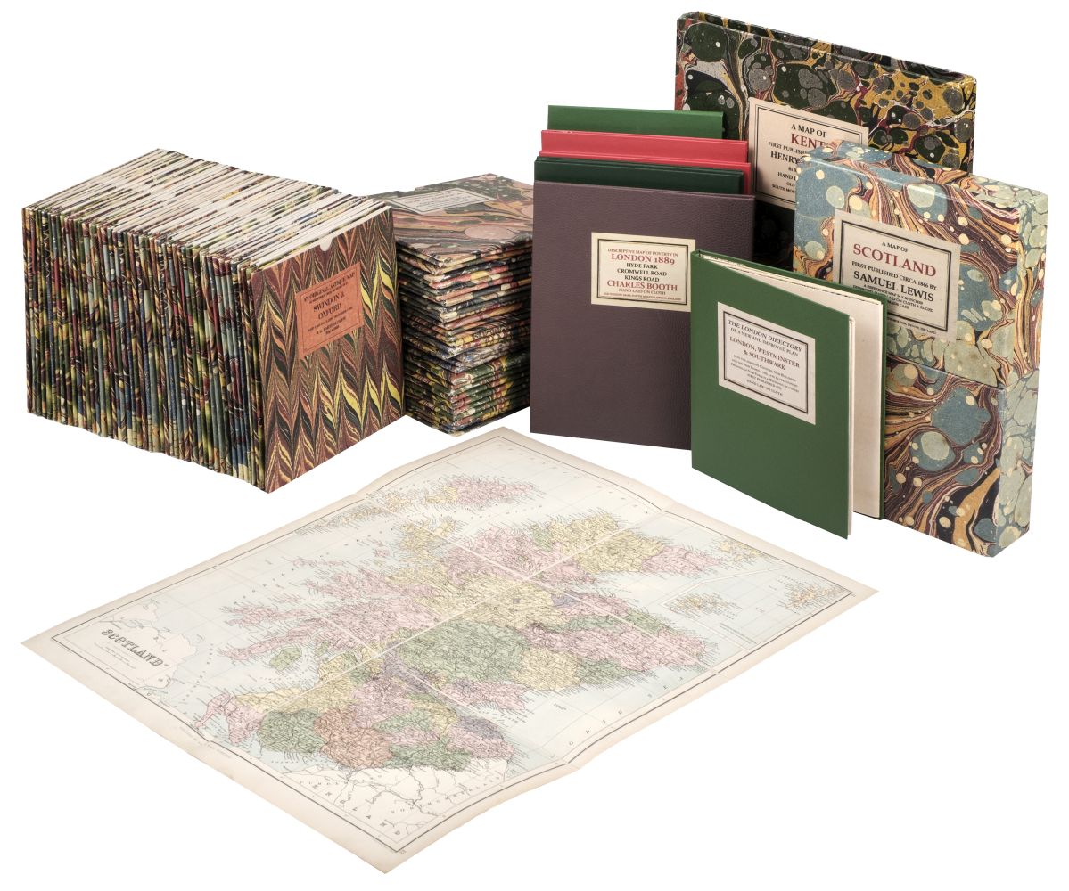
Folding maps. A mixed collection of twenty-two folding maps and plans, mostly 19th century, British and foreign maps, town plans, geographical games, touring, road and cycling maps, including maps of New South Wales, London, Scotland, Jersey, South Africa and New Zealand, with examples by Bartholomew, Juta, Stanford, Philips, Wallis, Cruchley, Bacon, Walker and Necker, various sizes and condition, together with a collection of approximately thirty engravings of natural history, architecture, portraits, historical and topographical views, 18th & 19th century, various sizes and condition (Qty: 52)
Folding maps. A mixed collection of twenty-two folding maps and plans, mostly 19th century, British and foreign maps, town plans, geographical games, touring, road and cycling maps, including maps of New South Wales, London, Scotland, Jersey, South Africa and New Zealand, with examples by Bartholomew, Juta, Stanford, Philips, Wallis, Cruchley, Bacon, Walker and Necker, various sizes and condition, together with a collection of approximately thirty engravings of natural history, architecture, portraits, historical and topographical views, 18th & 19th century, various sizes and condition (Qty: 52)


Testen Sie LotSearch und seine Premium-Features 7 Tage - ohne Kosten!
Lassen Sie sich automatisch über neue Objekte in kommenden Auktionen benachrichtigen.
Suchauftrag anlegen