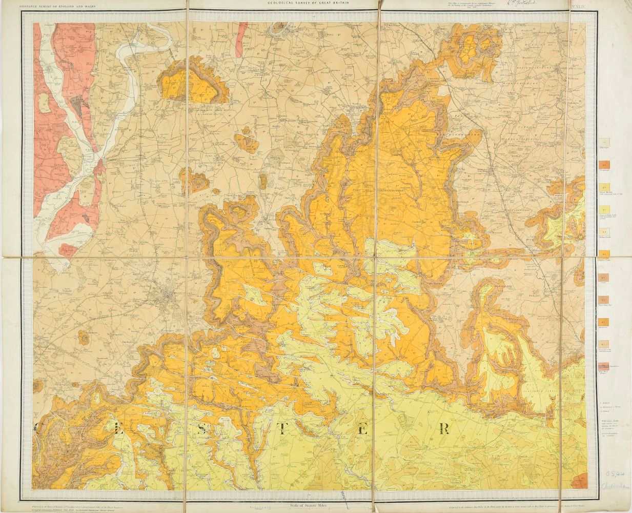
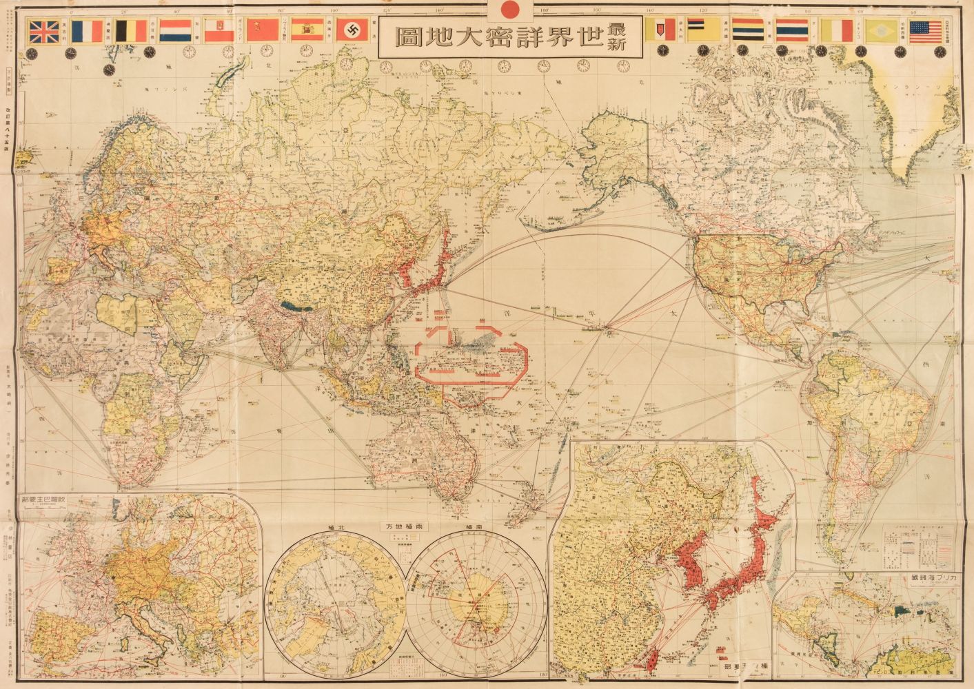
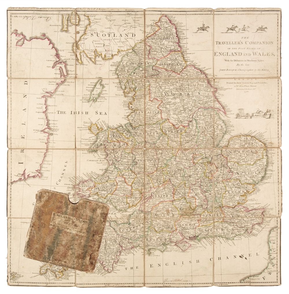
Folding Maps. A mixed collection of approximately 60 maps, 18th - 20th century, including Stanford (Edward, publisher). Bartholomew's "Half-Inch to Mile" Map of England & Wales, 37 parts (complete), circa 1905, 37 colour lithographic maps, sectionalised and laid on linen, each with publisher's printed paper endpapers, one map with frayed and torn endpapers, each approximately 520 x 640 mm, together with Bowen (Emanuel). An Accurate Map of Oxfordshire Drawn from the Best Authorities, Divided into Hundreds and Illustrated with Historical Extracts..., printed for Bakewell & Parker, J. Bowles & Son, T. Bowles, T. Kitchin, R. Sayer and J. Ryal, circa 1765, engraved map with contemporary outline colouring, sectionalised and laid on linen, 505 x 400 mm, contained in a contemporary marbled card slipcase with a manuscript title to the upper cover, slipcase faded and worn, with Hasted (Edward). A Compleat Map of the County of Kent taken from a late actual survey and accurately corrected to the present year, 1801, engraved map with contemporary outline colouring, sectionalised and laid on linen, slight staining, old rust holes to each corner (possibly caused by drawing pins), near-contemporary manuscript ownership signature (Captain Packe First Guards) to verso, 495 x 695 mm, plus Bowen (Emanuel). An Accurate Map of Northampton Shire Divided into its Hundreds...., J. Tinney, 1753, engraved map with contemporary outline colouring, some staining and dust soiling, 705 x 540 mm, contained in a contemporary marbled card slipcase, with publisher's printed title label to the upper cover, slipcase worn and frayed, and Cary (John). Cary's Reduction of his large Map of England and Wales, with part of Scotland..., 1832, engraved map with contemporary outline colouring, sectionalised and laid on linen, some staining and dust soiling, some damp staining to the verso, marbled endpapers, 755 x 625 mm, contained in a contemporary green marbled slipcase with a publisher's circular title label to the upper cover, slipcase frayed and worn, with another 23 folding British and foreign maps, including examples by or after Ordnance Survey, Hall, Macaulay, Brown & Sons, Bartholomew, Stanford, Waddington & Son, Burrows and Lizars, various sizes and condition, with Tallis (John & Co.). Ten pictorial maps (West India Islands, North America, Nova Scotia and Newfoundland, Falkland Islands & Patagonia, South America, East Canada and New Brunswick, West Canada (2 copies), Central America, New South Wales) circa 1860, engraved maps with contemporary outline colouring, each map decorated with uncoloured vignettes, some staining and spotting and short splits along the central fold, each approximately 265 x 330 mm, and Sutherland (T. & Havell D.). Fifteen engravings after C. G. Shutz, originally published in 'Views on the Rhine' R. Ackermann, 1819, aquatints with contemporary hand-colouring (Mentz, Cologne, The Castle of Furstenberg, Bacharach, Pfalz Castle and the Town of Laub, Thurnberg, Liebenstein, Braubach, Bornhofen, Boppard, Engers and Sayn, Andernach and Neuwied, Hammerstein, The Castles of Drachenfels & Rolandseck [and] Bodesberg and the Severn Hills, some spotting, staining and dust soiling, each approximately 240 x 290 mm
Folding Maps. A mixed collection of approximately 60 maps, 18th - 20th century, including Stanford (Edward, publisher). Bartholomew's "Half-Inch to Mile" Map of England & Wales, 37 parts (complete), circa 1905, 37 colour lithographic maps, sectionalised and laid on linen, each with publisher's printed paper endpapers, one map with frayed and torn endpapers, each approximately 520 x 640 mm, together with Bowen (Emanuel). An Accurate Map of Oxfordshire Drawn from the Best Authorities, Divided into Hundreds and Illustrated with Historical Extracts..., printed for Bakewell & Parker, J. Bowles & Son, T. Bowles, T. Kitchin, R. Sayer and J. Ryal, circa 1765, engraved map with contemporary outline colouring, sectionalised and laid on linen, 505 x 400 mm, contained in a contemporary marbled card slipcase with a manuscript title to the upper cover, slipcase faded and worn, with Hasted (Edward). A Compleat Map of the County of Kent taken from a late actual survey and accurately corrected to the present year, 1801, engraved map with contemporary outline colouring, sectionalised and laid on linen, slight staining, old rust holes to each corner (possibly caused by drawing pins), near-contemporary manuscript ownership signature (Captain Packe First Guards) to verso, 495 x 695 mm, plus Bowen (Emanuel). An Accurate Map of Northampton Shire Divided into its Hundreds...., J. Tinney, 1753, engraved map with contemporary outline colouring, some staining and dust soiling, 705 x 540 mm, contained in a contemporary marbled card slipcase, with publisher's printed title label to the upper cover, slipcase worn and frayed, and Cary (John). Cary's Reduction of his large Map of England and Wales, with part of Scotland..., 1832, engraved map with contemporary outline colouring, sectionalised and laid on linen, some staining and dust soiling, some damp staining to the verso, marbled endpapers, 755 x 625 mm, contained in a contemporary green marbled slipcase with a publisher's circular title label to the upper cover, slipcase frayed and worn, with another 23 folding British and foreign maps, including examples by or after Ordnance Survey, Hall, Macaulay, Brown & Sons, Bartholomew, Stanford, Waddington & Son, Burrows and Lizars, various sizes and condition, with Tallis (John & Co.). Ten pictorial maps (West India Islands, North America, Nova Scotia and Newfoundland, Falkland Islands & Patagonia, South America, East Canada and New Brunswick, West Canada (2 copies), Central America, New South Wales) circa 1860, engraved maps with contemporary outline colouring, each map decorated with uncoloured vignettes, some staining and spotting and short splits along the central fold, each approximately 265 x 330 mm, and Sutherland (T. & Havell D.). Fifteen engravings after C. G. Shutz, originally published in 'Views on the Rhine' R. Ackermann, 1819, aquatints with contemporary hand-colouring (Mentz, Cologne, The Castle of Furstenberg, Bacharach, Pfalz Castle and the Town of Laub, Thurnberg, Liebenstein, Braubach, Bornhofen, Boppard, Engers and Sayn, Andernach and Neuwied, Hammerstein, The Castles of Drachenfels & Rolandseck [and] Bodesberg and the Severn Hills, some spotting, staining and dust soiling, each approximately 240 x 290 mm







Try LotSearch and its premium features for 7 days - without any costs!
Be notified automatically about new items in upcoming auctions.
Create an alert