Premium pages left without account:

Auction archive: Lot number 131

Folding Maps. A mixed collection of 25 maps, 18th - 20th century

Estimate
£200 - £400
ca. US$246 - US$493
Price realised:
n. a.
Auction archive: Lot number 131

Folding Maps. A mixed collection of 25 maps, 18th - 20th century

Estimate
£200 - £400
ca. US$246 - US$493
Price realised:
n. a.
Beschreibung:

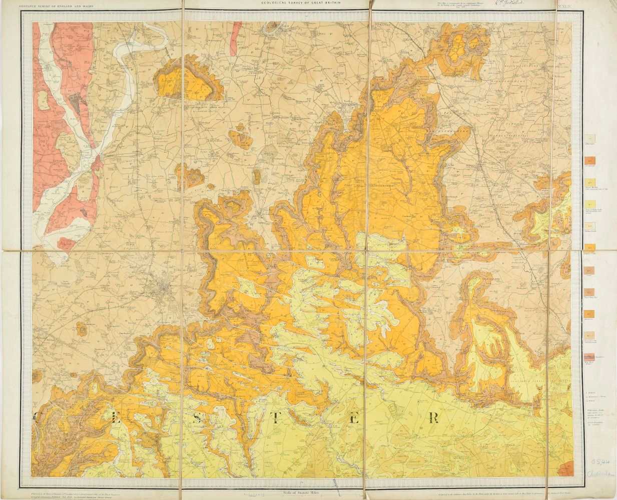
Folding Maps. A collection mixed of 25 maps, 18th - 20th century, folding engraved and lithographic maps of British counties, regions, environs of cities and countries, including examples by or after Rocque, Ordnance Survey, Taylor, Philips, Gall and Inglis, Holmes & Laurie, Laurie & Whittle, Stanford and Bacon, various sizes and condition

Auction archive: Lot number 131
Auction:
Datum:
11 May 2022
Auction house:
Dominic Winter Auctioneers, Mallard House
Broadway Lane, South Cerney, Nr Cirencester
Gloucestershire, GL75UQ
United Kingdom
info@dominicwinter.co.uk
+44 (0)1285 860006
+44 (0)1285 862461
Beschreibung:

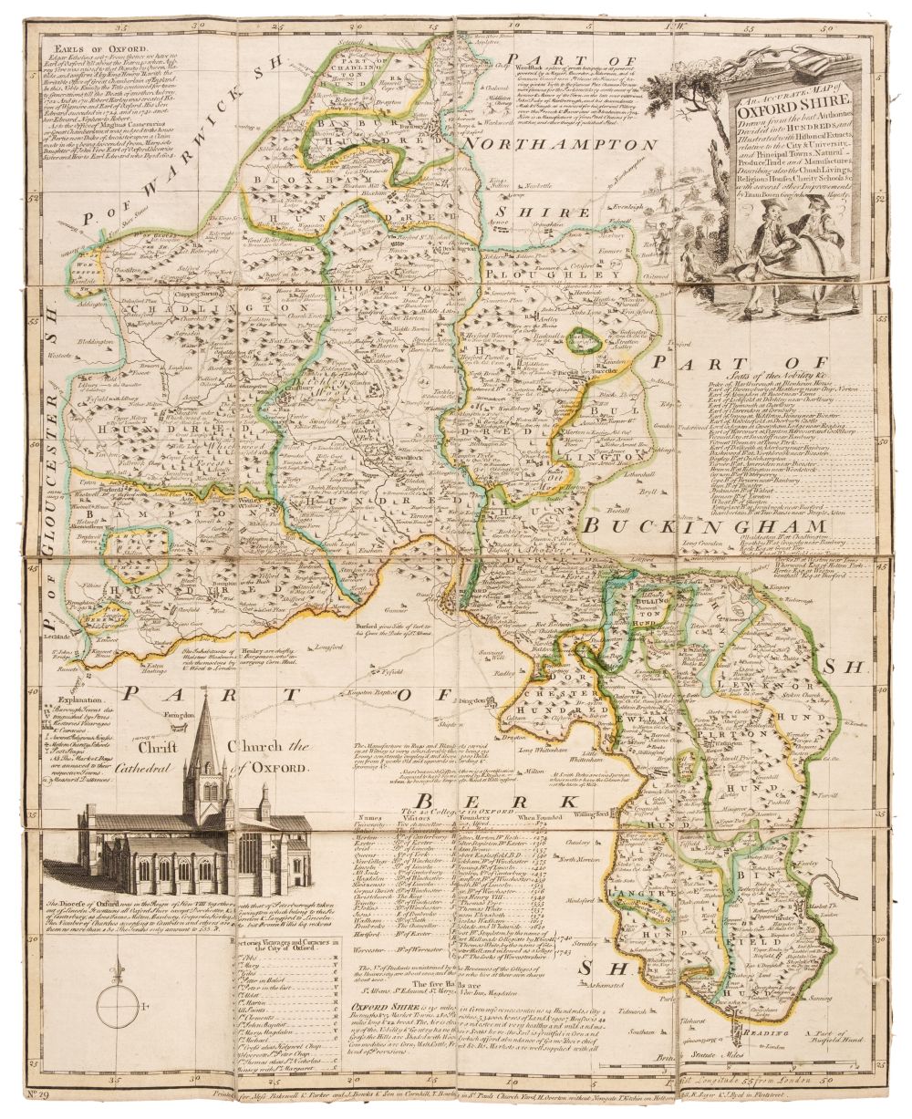
Folding Maps. A collection mixed of 25 maps, 18th - 20th century, folding engraved and lithographic maps of British counties, regions, environs of cities and countries, including examples by or after Rocque, Ordnance Survey, Taylor, Philips, Gall and Inglis, Holmes & Laurie, Laurie & Whittle, Stanford and Bacon, various sizes and condition
Auction archive: Lot number 131
Auction:
Datum:
11 May 2022
Auction house:
Dominic Winter Auctioneers, Mallard House
Broadway Lane, South Cerney, Nr Cirencester
Gloucestershire, GL75UQ
United Kingdom
info@dominicwinter.co.uk
+44 (0)1285 860006
+44 (0)1285 862461
Try LotSearch

Try LotSearch and its premium features for 7 days - without any costs!

  • Search lots and bid
  • Price database and artist analysis
  • Alerts for your searches
Create an alert now!

Be notified automatically about new items in upcoming auctions.

Create an alert