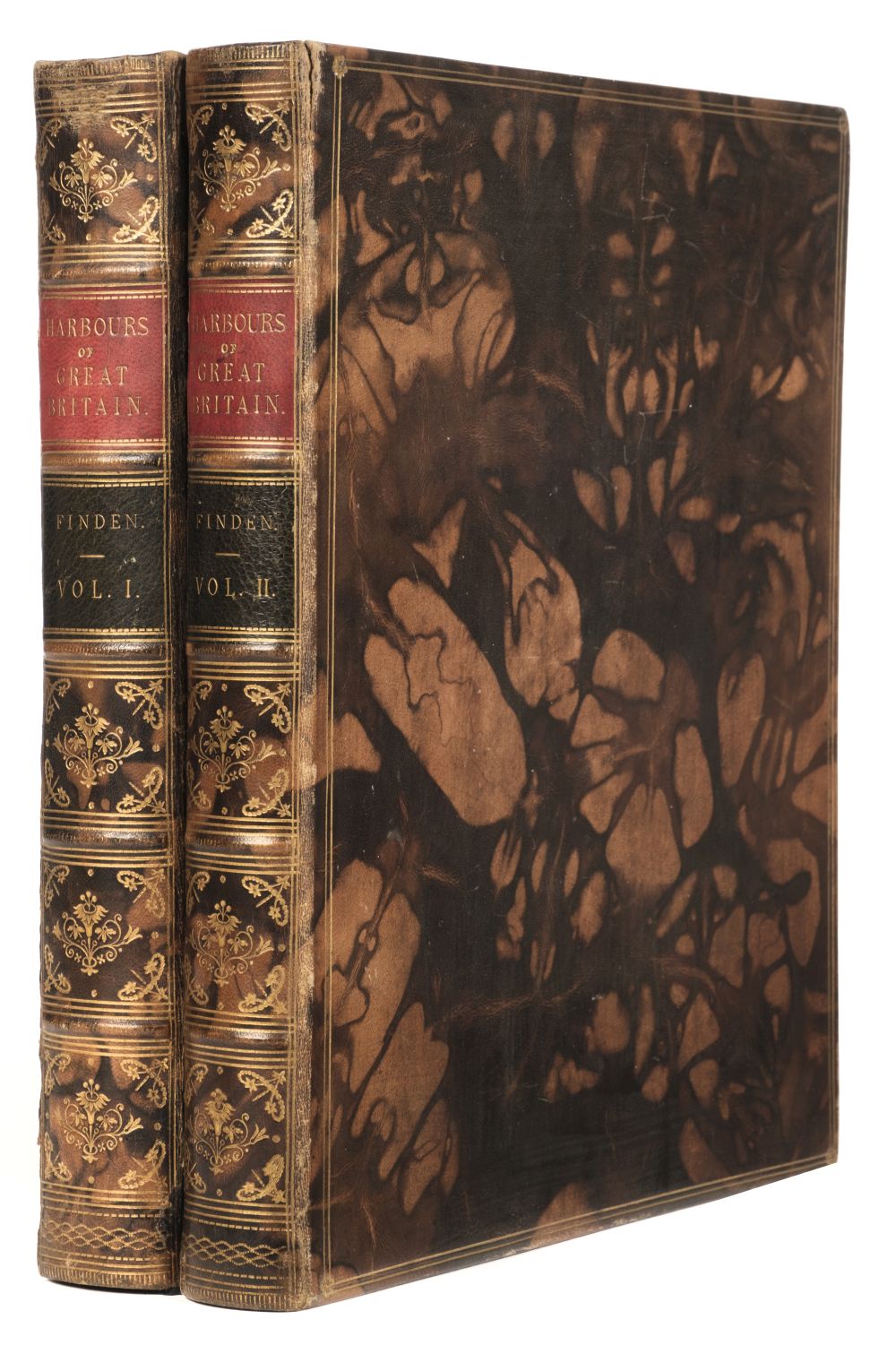
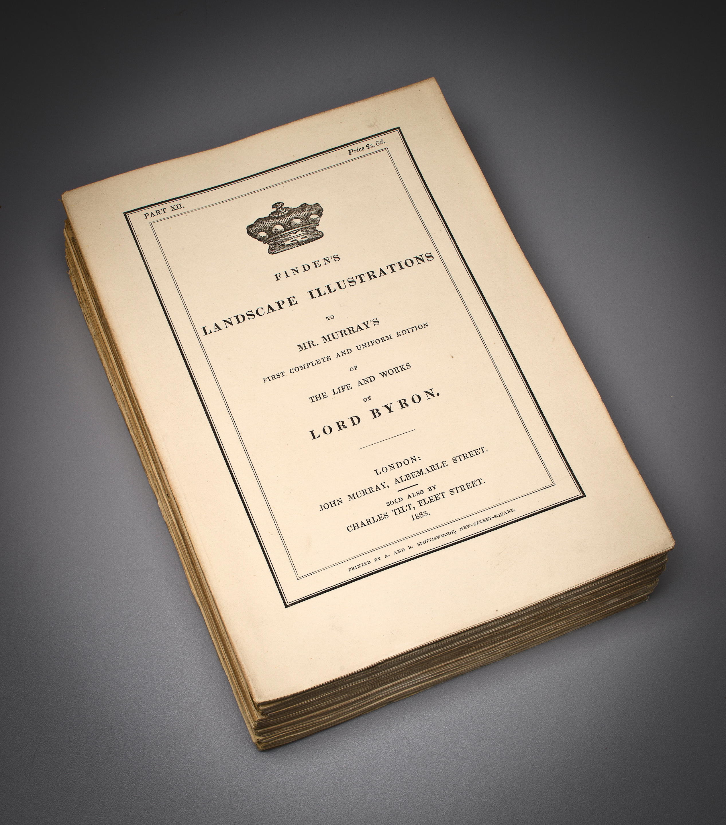
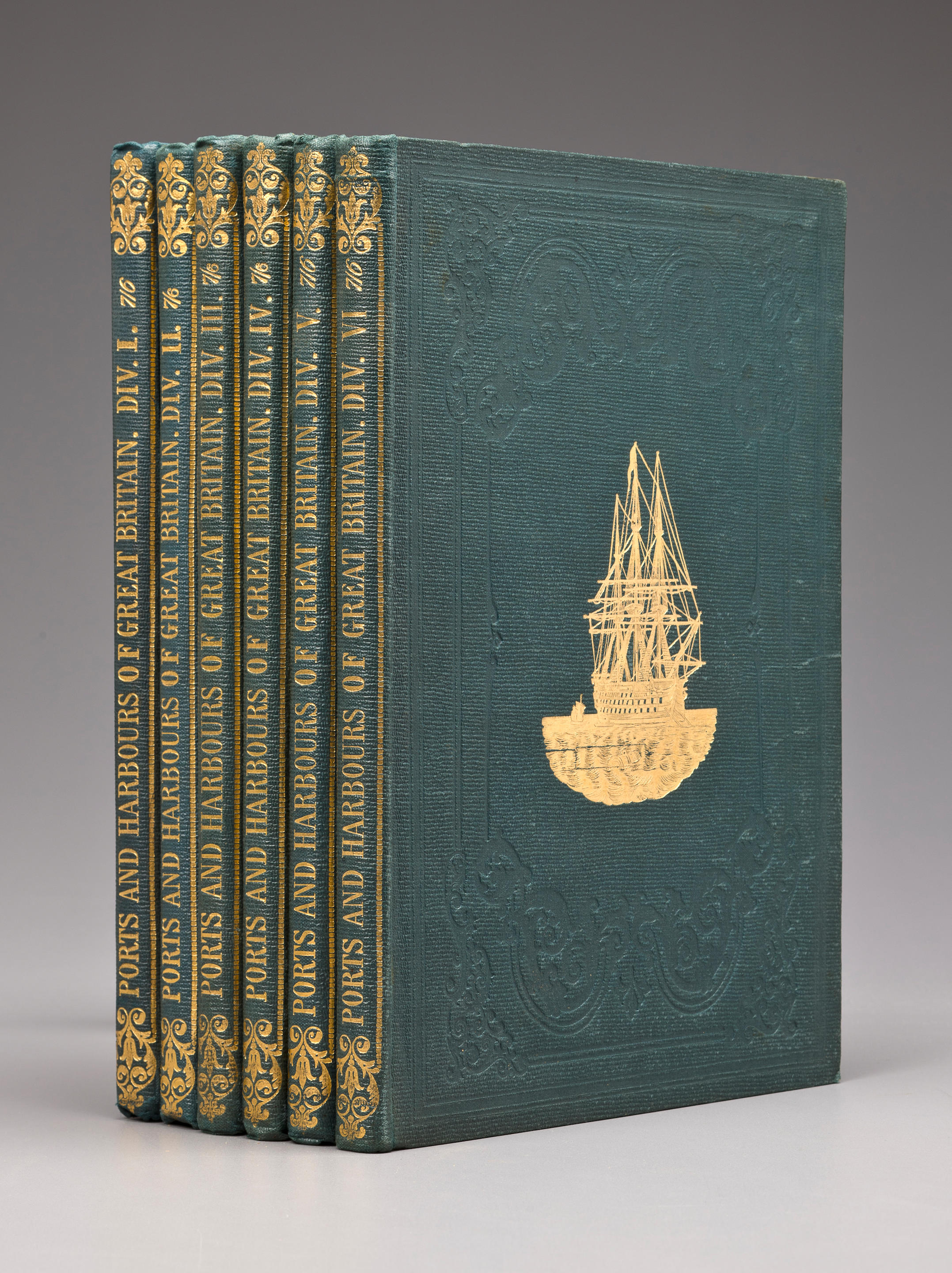
Finden (Edward Francis & William). The Ports, Harbours, Watering-places, and Coast Scenery of Great Britain, Illustrated by views taken on the spot, by W.H. Bartlett; with descriptions by William Beattie, 2 volumes, London: George Virtue, 1842, additional engraved titles, 124 engraved plates, occasional spotting, contemporary dark brown half morocco gilt, extremities slightly rubbed, 4to, together with: Britton (John & Brayley, Edward Wedlake), Devonshire & Cornwall Illustrated, from original drawings by Thomas Allom W. H. Bartlett &c., 2 parts in one, London: H. Fisher, R. Fisher & P. Jackson, 1832, comprising: Devonshire [Cornwall] Illustrated in a Series of Views, engraved vignette title to each part, 2 single-page uncoloured engraved maps, 138 engraved views on 69 leaves, spotting or toning, damp stain to lower margins, modern black calf, gilt decorated spine, few marks, 4to, plus a duplicate of the same work in contemporary dark brown half morocco, rebacked, 4to, Lewis (Samuel), A Topographical Dictionary of England, 4 volumes & Atlas volume, 4th edition, London: S. Lewis & Co., 1845, 43 engraved maps by J. & C. Walker (including 13 folding), occasional spotting, modern dark green buckram preserving spine labels, 4to, plus Lewis (Samuel), A Topographical Dictionary of Wales, 2 volume, 3rd edition, London: S. Lewis & Co., 1845, modern dark green buckram preserving spine labels, 4to (Quantity: 11)
Finden (Edward Francis & William). The Ports, Harbours, Watering-places, and Coast Scenery of Great Britain, Illustrated by views taken on the spot, by W.H. Bartlett; with descriptions by William Beattie, 2 volumes, London: George Virtue, 1842, additional engraved titles, 124 engraved plates, occasional spotting, contemporary dark brown half morocco gilt, extremities slightly rubbed, 4to, together with: Britton (John & Brayley, Edward Wedlake), Devonshire & Cornwall Illustrated, from original drawings by Thomas Allom W. H. Bartlett &c., 2 parts in one, London: H. Fisher, R. Fisher & P. Jackson, 1832, comprising: Devonshire [Cornwall] Illustrated in a Series of Views, engraved vignette title to each part, 2 single-page uncoloured engraved maps, 138 engraved views on 69 leaves, spotting or toning, damp stain to lower margins, modern black calf, gilt decorated spine, few marks, 4to, plus a duplicate of the same work in contemporary dark brown half morocco, rebacked, 4to, Lewis (Samuel), A Topographical Dictionary of England, 4 volumes & Atlas volume, 4th edition, London: S. Lewis & Co., 1845, 43 engraved maps by J. & C. Walker (including 13 folding), occasional spotting, modern dark green buckram preserving spine labels, 4to, plus Lewis (Samuel), A Topographical Dictionary of Wales, 2 volume, 3rd edition, London: S. Lewis & Co., 1845, modern dark green buckram preserving spine labels, 4to (Quantity: 11)


Testen Sie LotSearch und seine Premium-Features 7 Tage - ohne Kosten!
Lassen Sie sich automatisch über neue Objekte in kommenden Auktionen benachrichtigen.
Suchauftrag anlegen