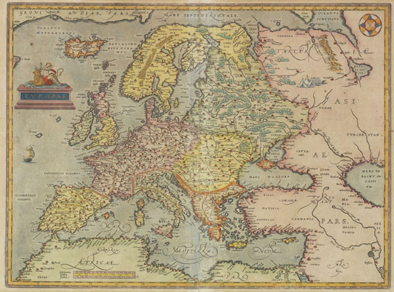
Europe.- France.- Ortelius (Abraham) Collection of 15 maps of France and its regions, from 'Theatrum Orbis Terrarum', including two general maps of France, and the rest of regions, including Picardy, Brittany, Normandy, Poitou et al., engravings on laid paper, each sheet approx. 415 x 530 mm (16 1/4 x 20 7/8 in), central vertical folds, a few with splitting, some surface dirt and browning, minor handling creases, unframed, [circa 1600 or slightly later] (15)
Europe.- France.- Ortelius (Abraham) Collection of 15 maps of France and its regions, from 'Theatrum Orbis Terrarum', including two general maps of France, and the rest of regions, including Picardy, Brittany, Normandy, Poitou et al., engravings on laid paper, each sheet approx. 415 x 530 mm (16 1/4 x 20 7/8 in), central vertical folds, a few with splitting, some surface dirt and browning, minor handling creases, unframed, [circa 1600 or slightly later] (15)


Testen Sie LotSearch und seine Premium-Features 7 Tage - ohne Kosten!
Lassen Sie sich automatisch über neue Objekte in kommenden Auktionen benachrichtigen.
Suchauftrag anlegen