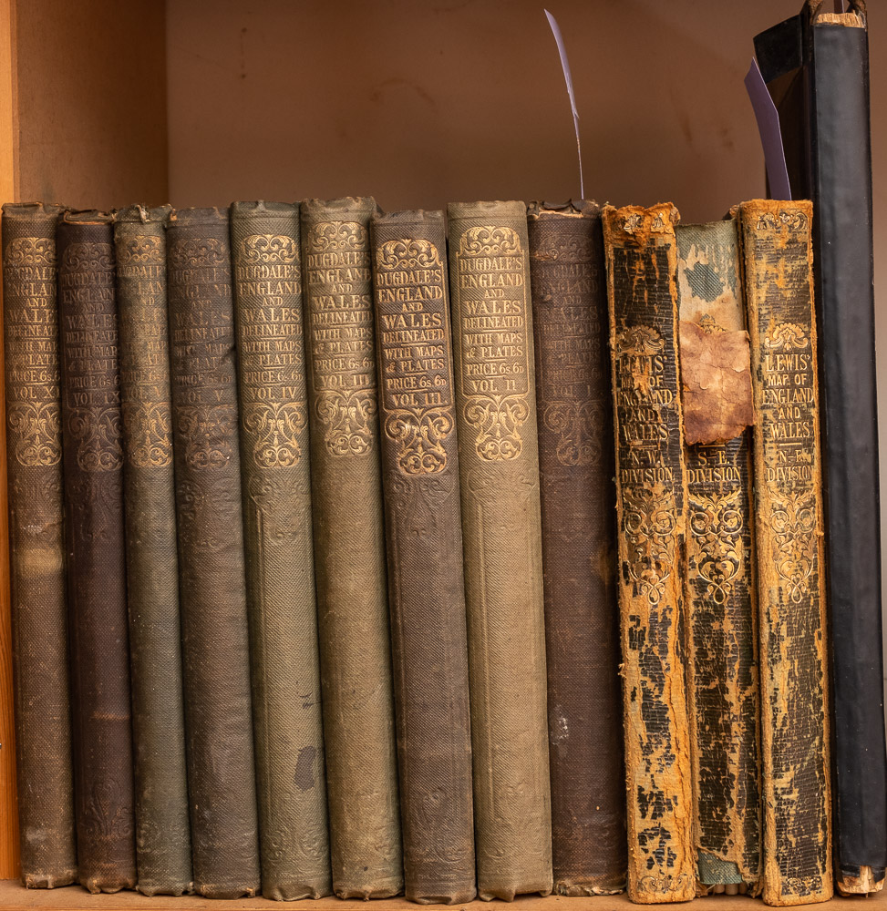
England and Wales.- [Lewis (Samuel) Publisher.] A Map of England and Wales, engraved folding map in 4 sheets, drawn by R. Creighton, and engraved by J. Dower covering the North East, South East, North West, and South West of England, each section approx. 1050 x 880 mm. (41 3/8 x 34 3/4 in), occasional surface dirt and spotting, folding into slipcase, splitting and very worn, 8vo, 1871; together with Bacon's Commercial Map of Great Britain Showing all Railways and Stations, folding into contemporary cloth covers, large 8vo, and with Bacon's Map of South East & Central England, on two sheets folding concertina-style into cloth boards, both worn, [late 19th, early 20th century]. (3).
England and Wales.- [Lewis (Samuel) Publisher.] A Map of England and Wales, engraved folding map in 4 sheets, drawn by R. Creighton, and engraved by J. Dower covering the North East, South East, North West, and South West of England, each section approx. 1050 x 880 mm. (41 3/8 x 34 3/4 in), occasional surface dirt and spotting, folding into slipcase, splitting and very worn, 8vo, 1871; together with Bacon's Commercial Map of Great Britain Showing all Railways and Stations, folding into contemporary cloth covers, large 8vo, and with Bacon's Map of South East & Central England, on two sheets folding concertina-style into cloth boards, both worn, [late 19th, early 20th century]. (3).







Try LotSearch and its premium features for 7 days - without any costs!
Be notified automatically about new items in upcoming auctions.
Create an alert