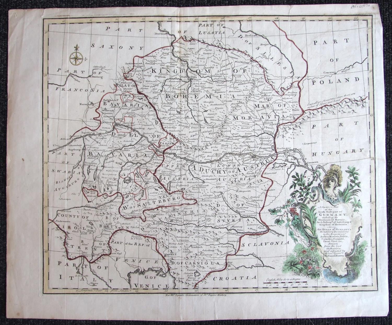
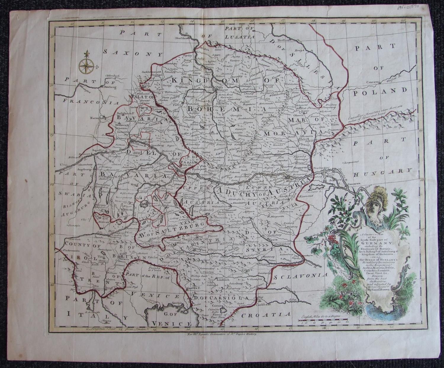
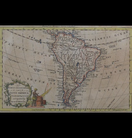
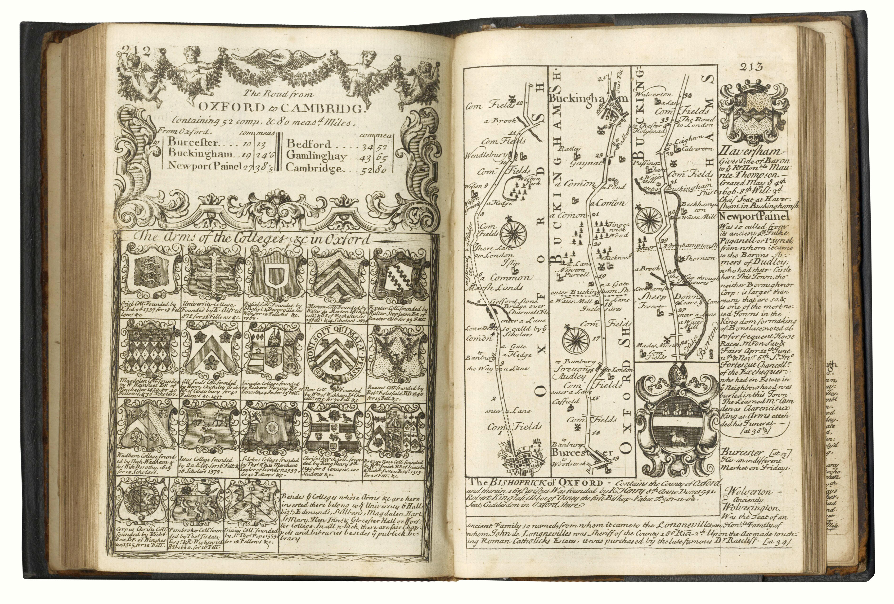
Emanuel Bowen 'A Correct Map of the South East part of Germany including the Electorate of Bavaria..... hand-coloured map for Mr Tyndal's Continuation of Mr Rapine's History', circa 1770, 36 x 42.5cm, a collection of world atlas maps, mainly 19th century, also Owen Bowen six hand-coloured road maps and other mileage charts.
Emanuel Bowen 'A Correct Map of the South East part of Germany including the Electorate of Bavaria..... hand-coloured map for Mr Tyndal's Continuation of Mr Rapine's History', circa 1770, 36 x 42.5cm, a collection of world atlas maps, mainly 19th century, also Owen Bowen six hand-coloured road maps and other mileage charts.


Try LotSearch and its premium features for 7 days - without any costs!
Be notified automatically about new items in upcoming auctions.
Create an alert