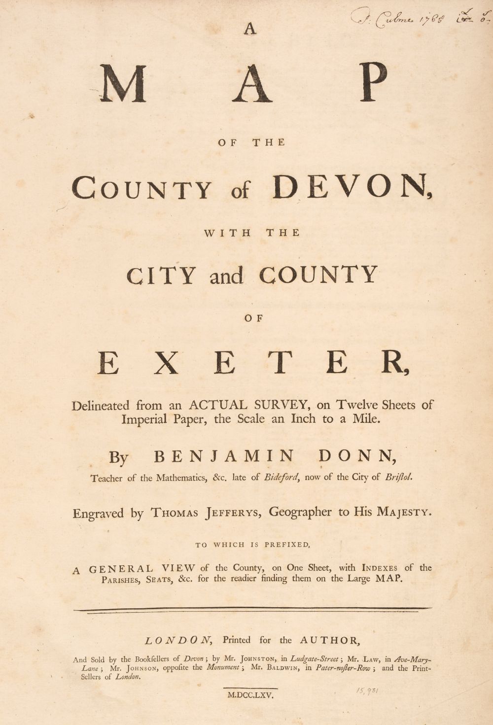
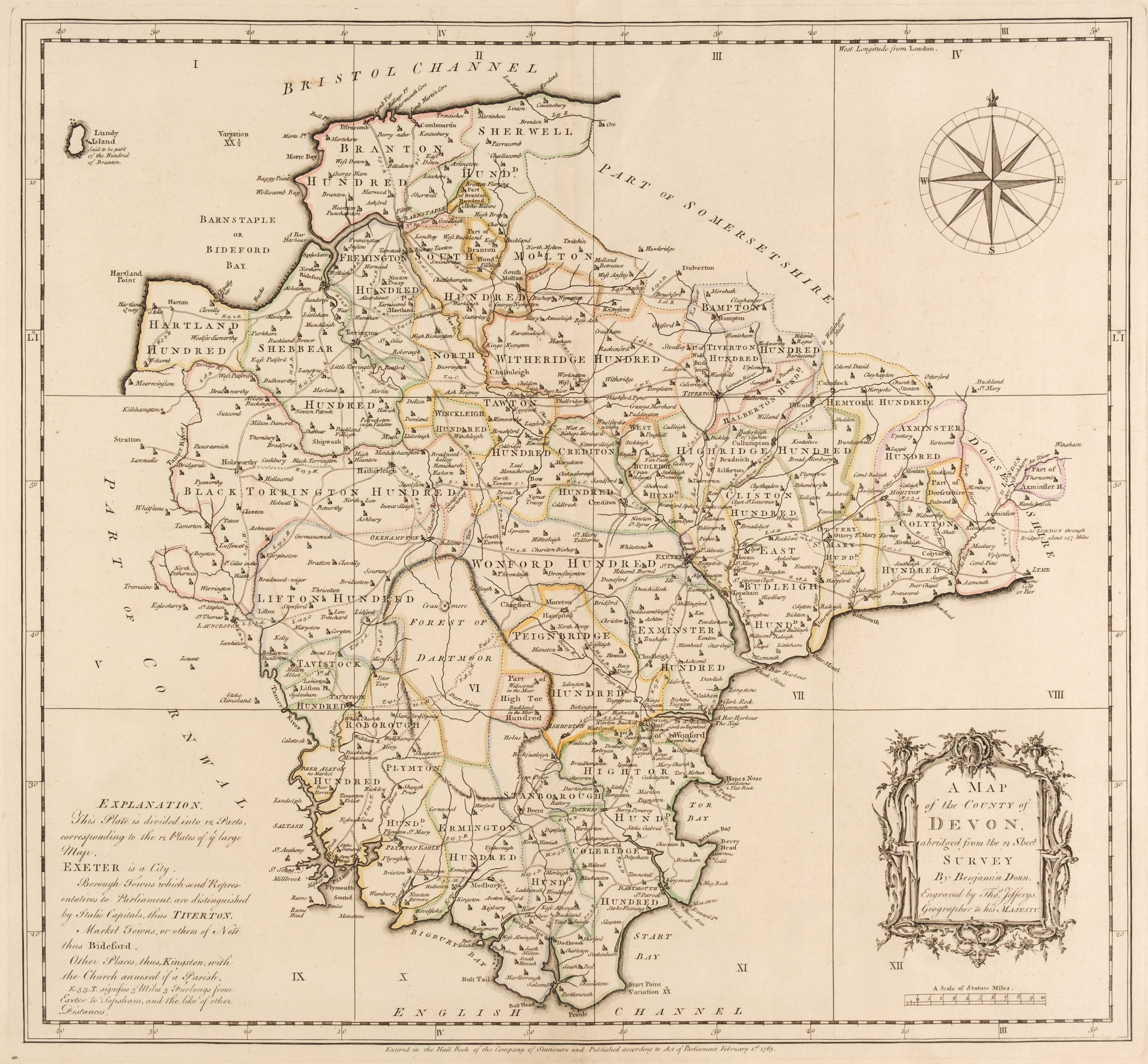
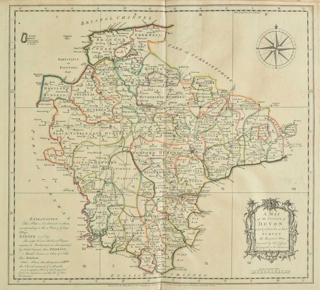
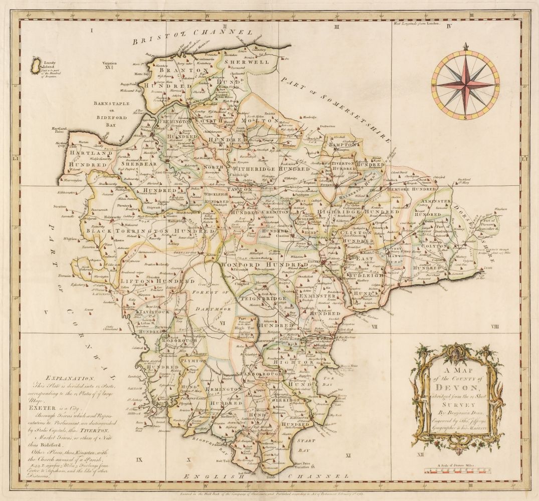
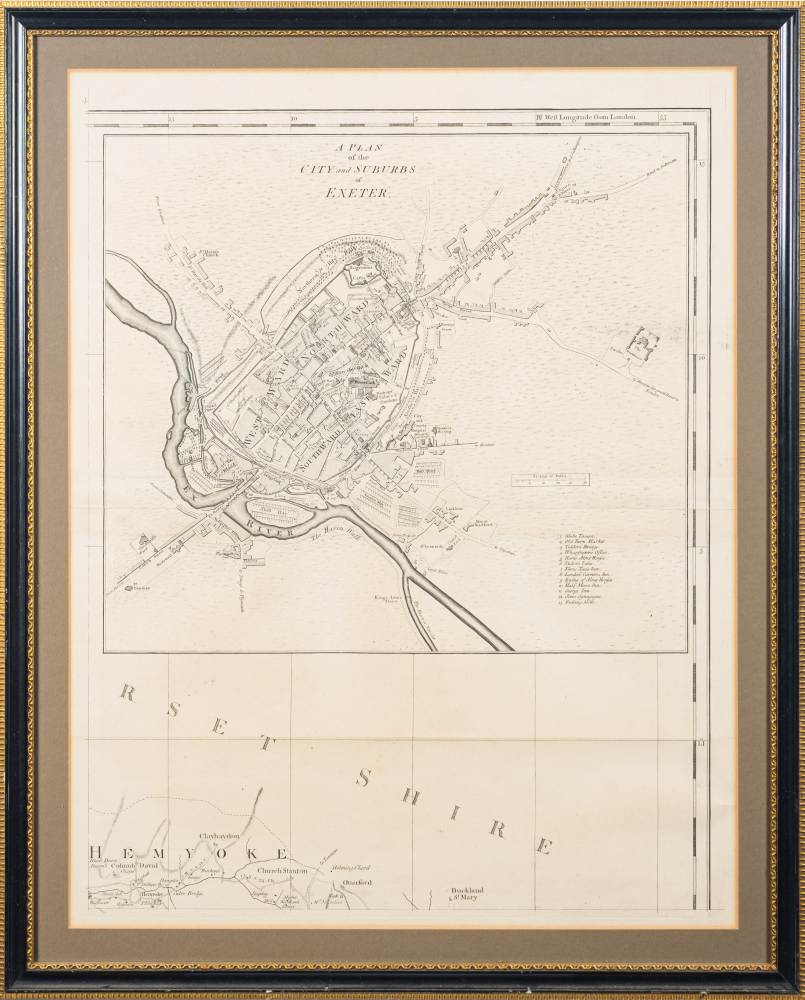
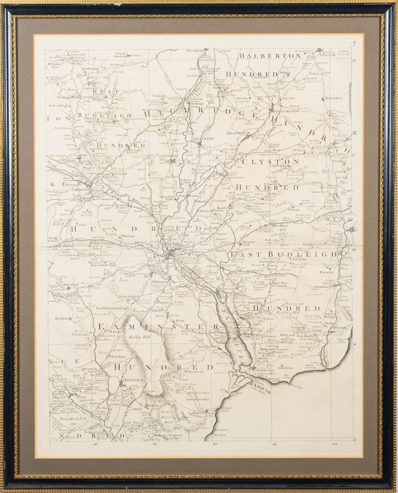
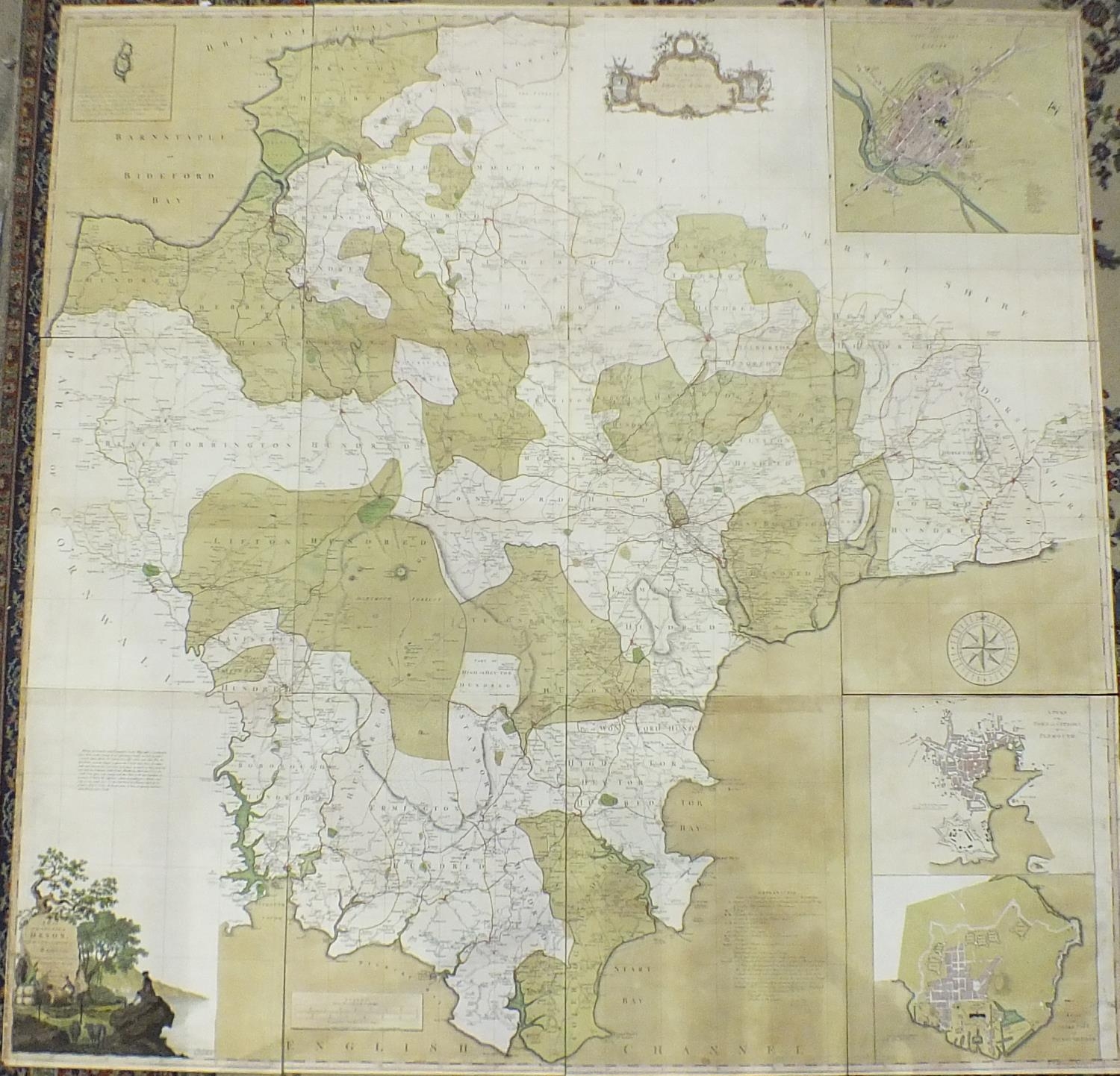
Devon. Donn (Benjamin), A Map of the County of Devon, with the City and County of Exeter, 1st. edition, 1765, key plate and 12 (complete) uncoloured double-page map sheets, decorative cartouche, mileage scale and table of explanation, inset maps of Lundy, Plymouth and Stoke Town and plan of Exeter, compass rose and dedication, later endpapers, modern half morocco with gilt title to spine, slim upright folio (Quantity: 1) Batten & Bennett. The Printed Maps of Devon, no. 44. Arguably the best known of all the large-scale county maps due to the 100 Guineas award from the Royal Society of Arts. Donn's map of Devon was the first map to receive the award which had been conceived by the society in 1762. Donn had taken five years to survey the county and claimed to have measured over 6000 miles of roads and rivers. Highly accurate and exhaustively detailed, the map clearly benefits from Donn's training as a mathematician, but the skill of Thomas Jefferys as an engraver cannot be understated. The map was sold in a simple twelve-sheet format for one and a half guineas (as in this example) and with an extra five shillings for colouring. It was also available in a de-luxe state with a title page, printed index, subscribers list and index map for two guineas plus extra for colouring.
Devon. Donn (Benjamin), A Map of the County of Devon, with the City and County of Exeter, 1st. edition, 1765, key plate and 12 (complete) uncoloured double-page map sheets, decorative cartouche, mileage scale and table of explanation, inset maps of Lundy, Plymouth and Stoke Town and plan of Exeter, compass rose and dedication, later endpapers, modern half morocco with gilt title to spine, slim upright folio (Quantity: 1) Batten & Bennett. The Printed Maps of Devon, no. 44. Arguably the best known of all the large-scale county maps due to the 100 Guineas award from the Royal Society of Arts. Donn's map of Devon was the first map to receive the award which had been conceived by the society in 1762. Donn had taken five years to survey the county and claimed to have measured over 6000 miles of roads and rivers. Highly accurate and exhaustively detailed, the map clearly benefits from Donn's training as a mathematician, but the skill of Thomas Jefferys as an engraver cannot be understated. The map was sold in a simple twelve-sheet format for one and a half guineas (as in this example) and with an extra five shillings for colouring. It was also available in a de-luxe state with a title page, printed index, subscribers list and index map for two guineas plus extra for colouring.





Testen Sie LotSearch und seine Premium-Features 7 Tage - ohne Kosten!
Lassen Sie sich automatisch über neue Objekte in kommenden Auktionen benachrichtigen.
Suchauftrag anlegen