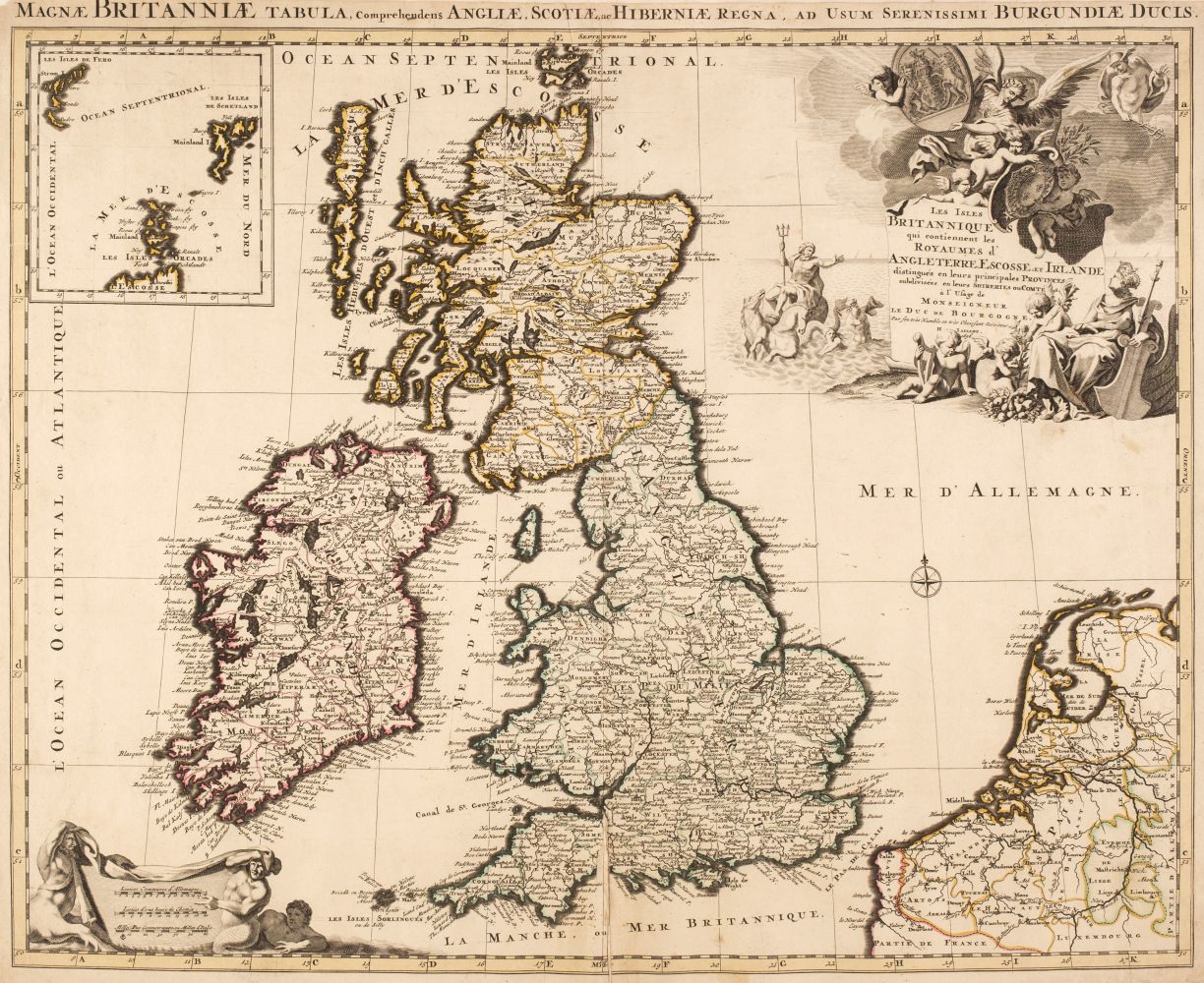
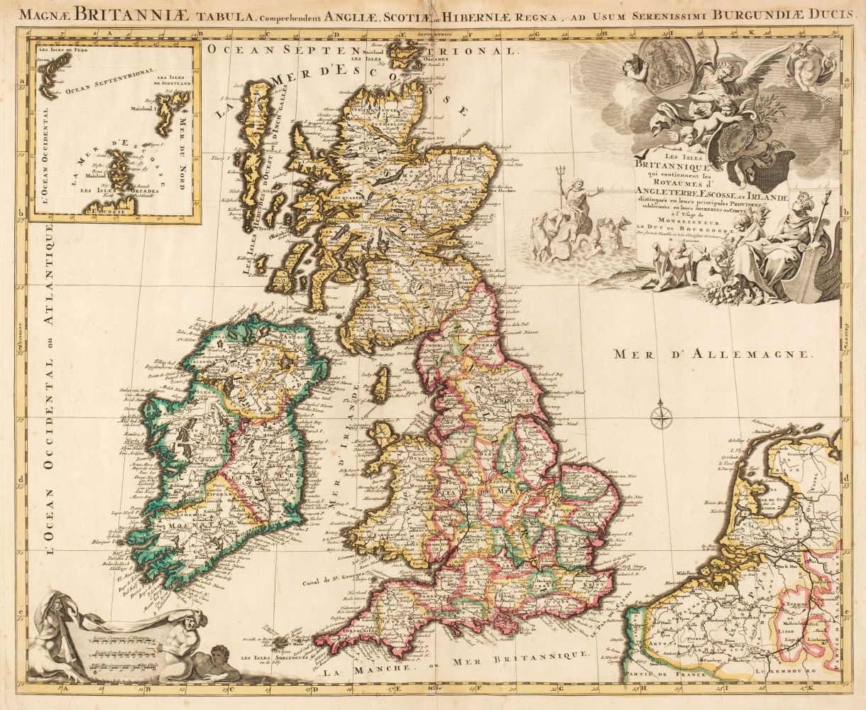
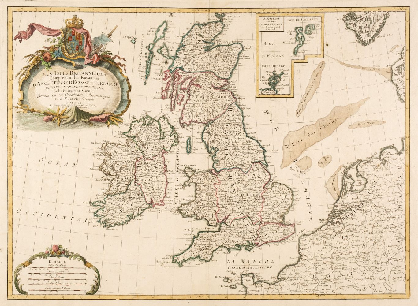
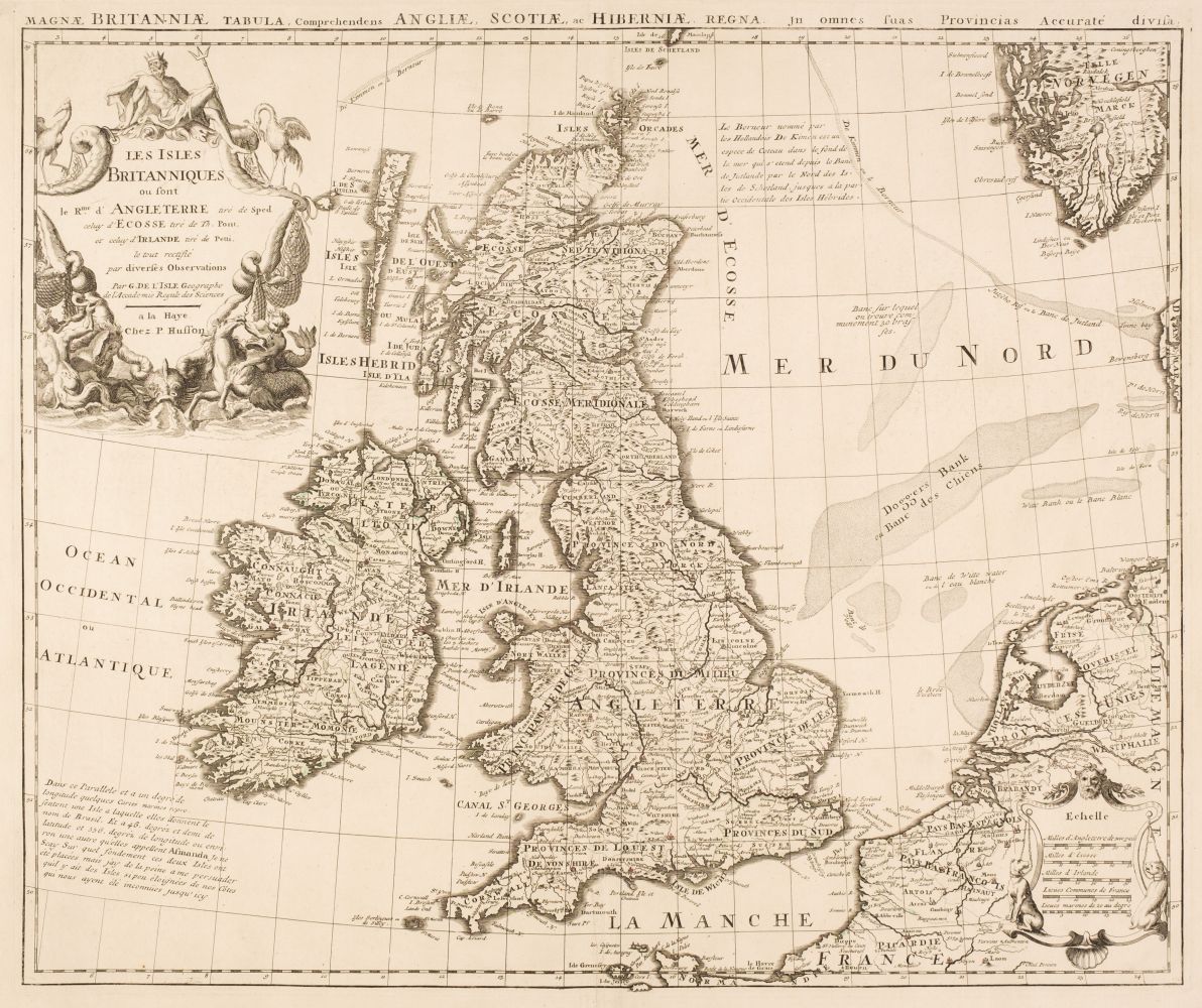
De Wit (Frederick), Novissima prae caeteris aliis accuratissima Regnorum Angliae Scotiae Hiberniae [and] Accuratissima Angliae Regni et Walliae principatus descriptio distinct� divisa in omnes suas provincias, Amsterdam, circa 1680, 2 engraved maps with contemporary outline colouring, the map of the British Isles with inset map of the Orkney, Faroes and Shetland islands, each with a decorative cartouche, slight oxidisation to watercolour on the map of the British Isles causing slight cracking, slight staining, each approximately 585 x 495 mm (2)
De Wit (Frederick), Novissima prae caeteris aliis accuratissima Regnorum Angliae Scotiae Hiberniae [and] Accuratissima Angliae Regni et Walliae principatus descriptio distinct� divisa in omnes suas provincias, Amsterdam, circa 1680, 2 engraved maps with contemporary outline colouring, the map of the British Isles with inset map of the Orkney, Faroes and Shetland islands, each with a decorative cartouche, slight oxidisation to watercolour on the map of the British Isles causing slight cracking, slight staining, each approximately 585 x 495 mm (2)






Testen Sie LotSearch und seine Premium-Features 7 Tage - ohne Kosten!
Lassen Sie sich automatisch über neue Objekte in kommenden Auktionen benachrichtigen.
Suchauftrag anlegen