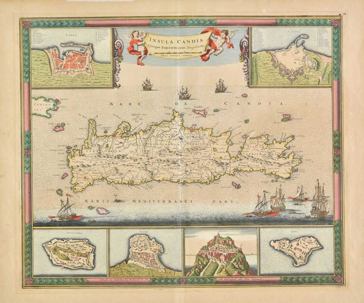
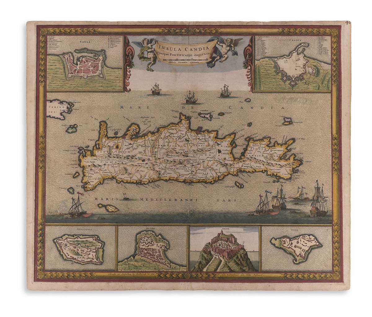
DE WIT (FREDERICK) Insula Malta, double-page engraved map, partially hand-coloured, depicting Malta at the centre, North-African Coast at bottom and South of Sicily above, inset plan of Valetta, light browning [cf. Koeman III Wit 28], 435 x 530mm., Amsterdam, [c.1693]--MOLL (HERMAN) The West Part of Barbary containing Fez, Marocco, Algiers and Tunis and The East Part of Barbary containing Tripoli, Barca and the North Part of Egypt, engraved map, hand-coloured in outline, 210 x 280mm., H. Moll, 1732; together with 2 eighteenth century engraved hand-coloured maps of Malta, each 220 x 275mm. (4)
DE WIT (FREDERICK) Insula Malta, double-page engraved map, partially hand-coloured, depicting Malta at the centre, North-African Coast at bottom and South of Sicily above, inset plan of Valetta, light browning [cf. Koeman III Wit 28], 435 x 530mm., Amsterdam, [c.1693]--MOLL (HERMAN) The West Part of Barbary containing Fez, Marocco, Algiers and Tunis and The East Part of Barbary containing Tripoli, Barca and the North Part of Egypt, engraved map, hand-coloured in outline, 210 x 280mm., H. Moll, 1732; together with 2 eighteenth century engraved hand-coloured maps of Malta, each 220 x 275mm. (4)


Try LotSearch and its premium features for 7 days - without any costs!
Be notified automatically about new items in upcoming auctions.
Create an alert