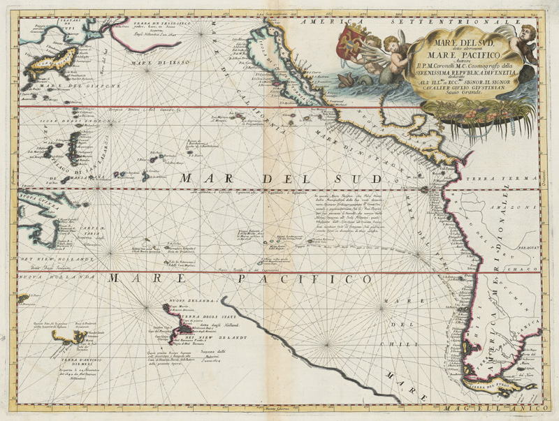
CORONELLI, Vincenzo Maria (1650-1718). Mare del Sud, detto altrimenti Mare Pacifico. Venice, [1691].
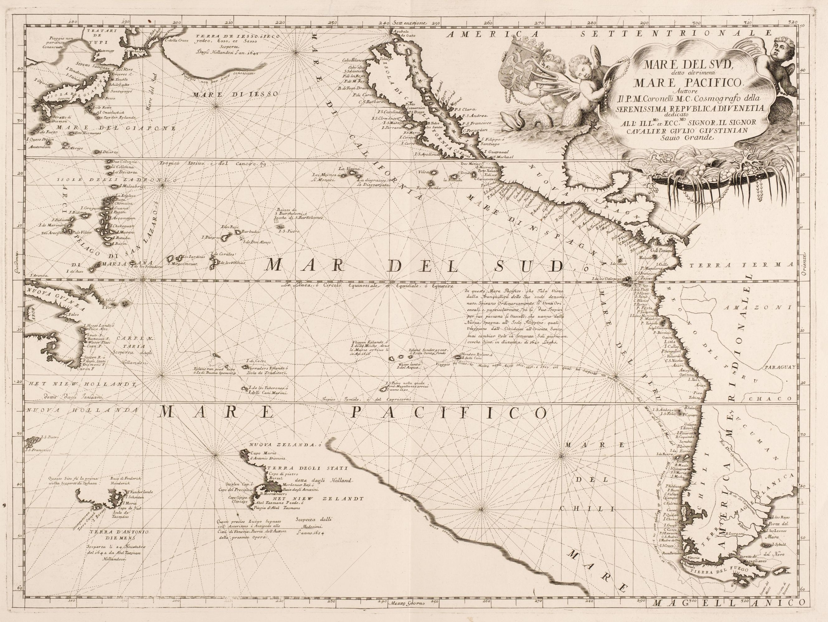
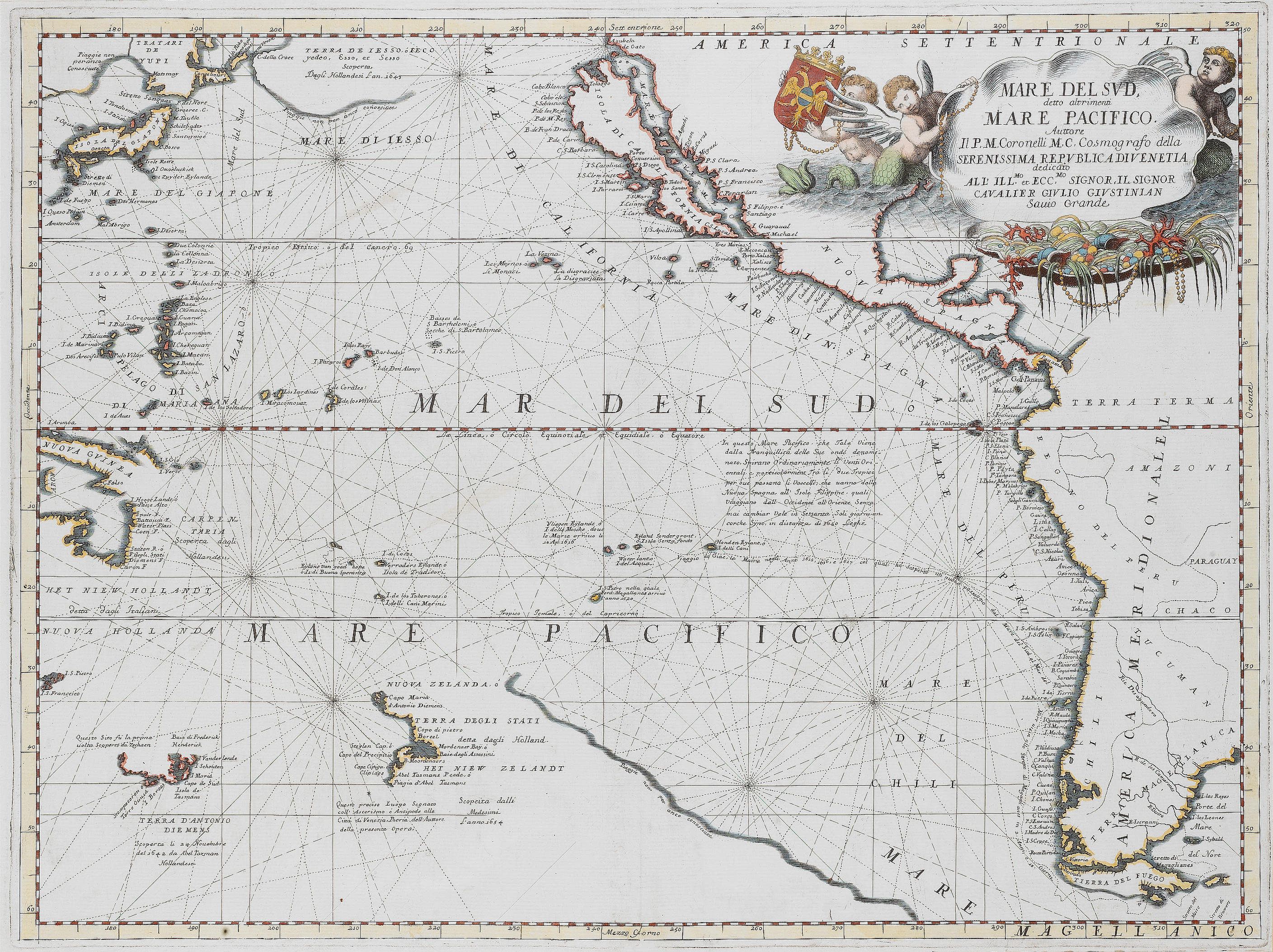
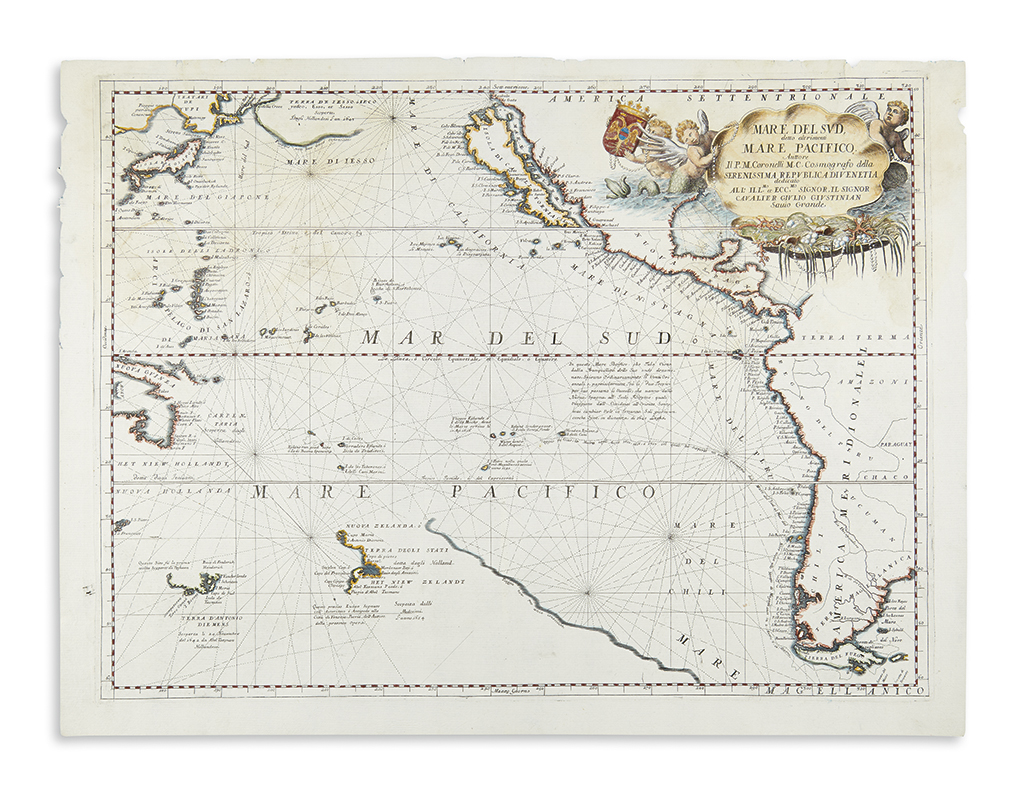
CORONELLI, Vincenzo Maria (1650-1718). Mare del Sud, detto altrimenti Mare Pacifico. Venice, [1691]. Engraved map of the Pacific Ocean, image 457 x 611 mm (507 x 690 mm sheet). Includes most of the coastlines of the Americas, depicting California as an island, with an elaborate title cartouche of a large shell filled with pearls and coral. (Minor marginal staining.) Coronelli's map first published in his Atlante Veneto is drawn from his 1688 globe gores, which were derived from the manuscript globe built for Louis XIV in 1683. The map traces the Pacific crossing of Jacob Le Maire and Willem Cornelisz Schouten 1615-1617, which proved that Tierra de Fuego was an island. Burden 680; McLaughlin 104; Tooley Australia p. 48; Tooley America p.125.


.jpg?w=400?width=1600&quality=70)



Testen Sie LotSearch und seine Premium-Features 7 Tage - ohne Kosten!
Lassen Sie sich automatisch über neue Objekte in kommenden Auktionen benachrichtigen.
Suchauftrag anlegen