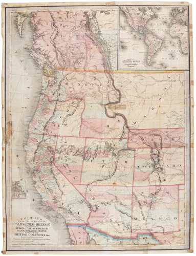
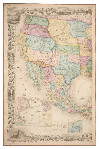
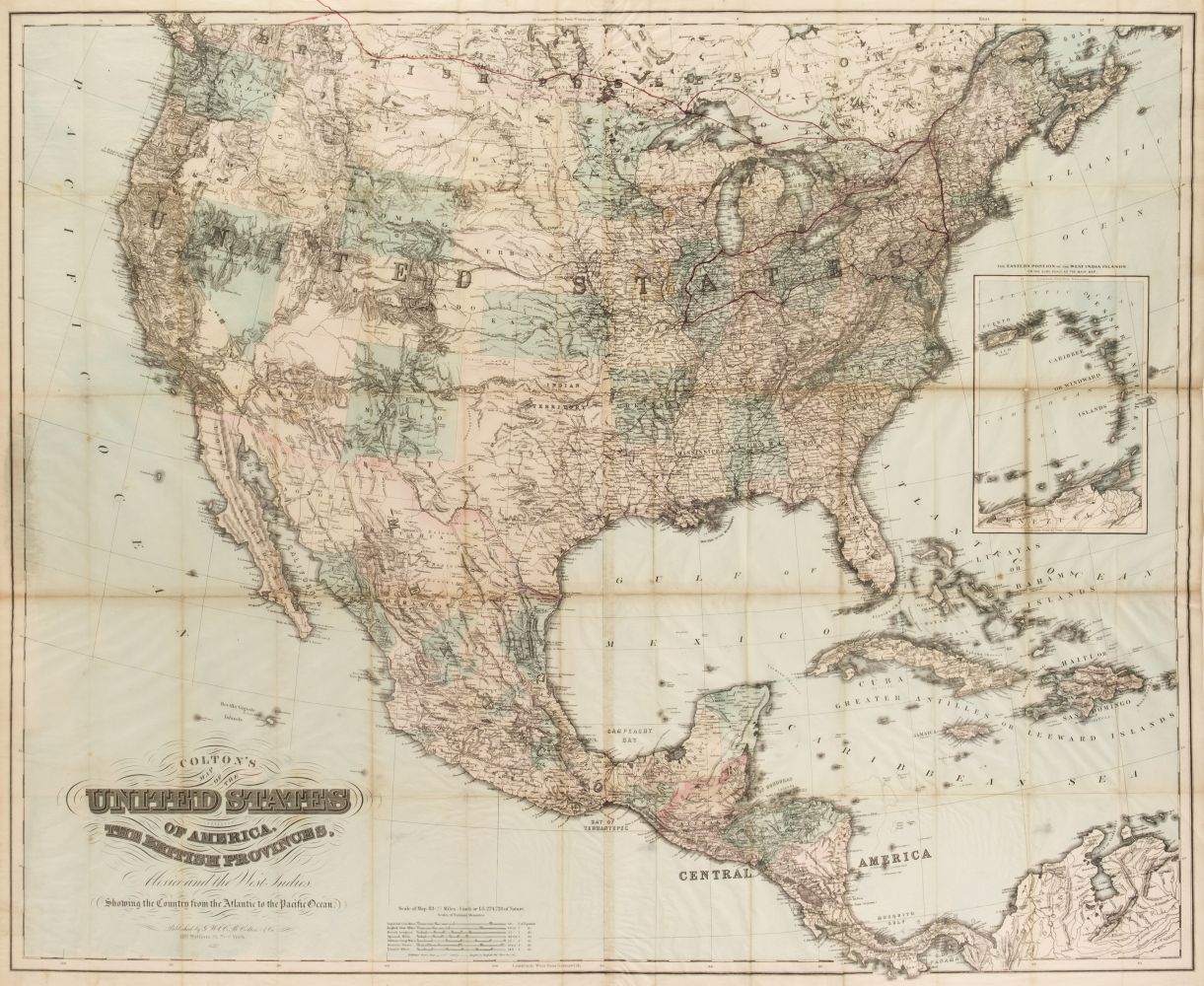
Title: Colton's Map of the States and Territories West of the Mississippi River to the Pacific Ocean Showing the Overland Routes, Projected Railroad Lines, &c Author: Colton, George Woolworth and Charles B. Colton Place: New York Publisher: Published by G. W. Colton and C. B. Colton & Co. Date: 1869 Description: Lithographed map, hand-colored in outline. 67.7x99 cm (26¾x39") plus decorative border, folding into gilt-lettered blindstamped cloth covers, 15.7x10.5 cm (6¼x4¼"). Detailed map of the American West just as it was opened to settlement by the transcontinental railroad, which is shown complete from Chicago to the Pacific (it was completed on May 10th, 1869). The territory of Wyoming, established July 25, 1869, is shown, as are two Indian reservations in southern Idaho which are not on Colton's 1867 map of the United States. Warren Heckrotte notes: "This map is made from master plate that was used for his two maps of 1862 which together cover the U.S., presumably the 1864 edition and for his 1867 map of the US [I have copies of the first and third]. The 1867 map has the counties colored which gives map much different appearance..." Further Notes from the Files of Warren Heckrotte Full title: Colton's | Map of the | States and Territories | West of the Mississippi River | to the | Pacific Ocean | Showing the | Overland Routes, Projected Railroad Lines, &c. | Published by G. W. Colton and C. B. Colton & Co. | 172 Williams St. New York. | Scale of Statue Miles [ linear scale, 48 miles to one inch] 1869 | [small cartouche at lower left with ad for Colton firm] | Entered according to Act of Congress in the year 1868 by G.W. & C. B. Colton & Co. in the Clerks Office of the District Court of the United States for the Eastern District of New York Provenance: D. Heald, 2/00 Reese, Cat 208, 12/01, has the 1864 issue and the 1865 issue which now designates Montana Terr. which he says is first map to do so - this is incorrect. Bancroft's Map of the Pacific States, 1864, 2nd state shows Montana. The catalogue notes an 1868 issue, but not the 1869 issue. References: Wheat lists and describes the 1864 edition of map but not this one. Lot Amendments Condition: Detached from folder, with small piece of border remaining with the folder; map fine or nearly so, with some small splits at folds. Item number: 265076
Title: Colton's Map of the States and Territories West of the Mississippi River to the Pacific Ocean Showing the Overland Routes, Projected Railroad Lines, &c Author: Colton, George Woolworth and Charles B. Colton Place: New York Publisher: Published by G. W. Colton and C. B. Colton & Co. Date: 1869 Description: Lithographed map, hand-colored in outline. 67.7x99 cm (26¾x39") plus decorative border, folding into gilt-lettered blindstamped cloth covers, 15.7x10.5 cm (6¼x4¼"). Detailed map of the American West just as it was opened to settlement by the transcontinental railroad, which is shown complete from Chicago to the Pacific (it was completed on May 10th, 1869). The territory of Wyoming, established July 25, 1869, is shown, as are two Indian reservations in southern Idaho which are not on Colton's 1867 map of the United States. Warren Heckrotte notes: "This map is made from master plate that was used for his two maps of 1862 which together cover the U.S., presumably the 1864 edition and for his 1867 map of the US [I have copies of the first and third]. The 1867 map has the counties colored which gives map much different appearance..." Further Notes from the Files of Warren Heckrotte Full title: Colton's | Map of the | States and Territories | West of the Mississippi River | to the | Pacific Ocean | Showing the | Overland Routes, Projected Railroad Lines, &c. | Published by G. W. Colton and C. B. Colton & Co. | 172 Williams St. New York. | Scale of Statue Miles [ linear scale, 48 miles to one inch] 1869 | [small cartouche at lower left with ad for Colton firm] | Entered according to Act of Congress in the year 1868 by G.W. & C. B. Colton & Co. in the Clerks Office of the District Court of the United States for the Eastern District of New York Provenance: D. Heald, 2/00 Reese, Cat 208, 12/01, has the 1864 issue and the 1865 issue which now designates Montana Terr. which he says is first map to do so - this is incorrect. Bancroft's Map of the Pacific States, 1864, 2nd state shows Montana. The catalogue notes an 1868 issue, but not the 1869 issue. References: Wheat lists and describes the 1864 edition of map but not this one. Lot Amendments Condition: Detached from folder, with small piece of border remaining with the folder; map fine or nearly so, with some small splits at folds. Item number: 265076


Try LotSearch and its premium features for 7 days - without any costs!
Be notified automatically about new items in upcoming auctions.
Create an alert