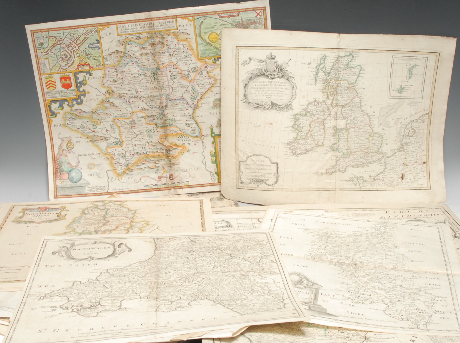
Title: Collection of loose maps from Mitchell's 1860 Atlas Author: Mitchell, S[amuel] Augustus, Jr. Place: Philadelphia Publisher: S. Augustus Mitchell Date: 1860 Description: Contains 59 total hand-colored lithographed maps (plus insets), on 50 mapsheets, 4 of which are double-page; plus the list of maps leaf. 15¼x12." Loose maps, unbound. Nice set of maps just before the start of the American Civil War. Most of the maps pertain to the United States, 37 of the mapsheets are of the Americas (including all the double-page maps). Includes double-page maps of the World, United States, New York (state), and Mexico with Central American and West Indies. Has the important California and Texas maps. Full-page U.S. city plans of: New York, Boston, Philadelphia, Baltimore, Washington DC, New Orleans, and Cincinnati. Originally was bound and published as: "Mitchell's New General Atlas, Containing Maps of the Various Countries of the World, Plans of Cities, Etc...". Lacks two maps, including Maine and New Hampshire with Vermont and the other charts, text leaves, etc. See Phillips Atlases 831. Lot Amendments Condition: Slight edge wear and toning; mostly near fine with bright period hand-coloring. Item number: 161740
Title: Collection of loose maps from Mitchell's 1860 Atlas Author: Mitchell, S[amuel] Augustus, Jr. Place: Philadelphia Publisher: S. Augustus Mitchell Date: 1860 Description: Contains 59 total hand-colored lithographed maps (plus insets), on 50 mapsheets, 4 of which are double-page; plus the list of maps leaf. 15¼x12." Loose maps, unbound. Nice set of maps just before the start of the American Civil War. Most of the maps pertain to the United States, 37 of the mapsheets are of the Americas (including all the double-page maps). Includes double-page maps of the World, United States, New York (state), and Mexico with Central American and West Indies. Has the important California and Texas maps. Full-page U.S. city plans of: New York, Boston, Philadelphia, Baltimore, Washington DC, New Orleans, and Cincinnati. Originally was bound and published as: "Mitchell's New General Atlas, Containing Maps of the Various Countries of the World, Plans of Cities, Etc...". Lacks two maps, including Maine and New Hampshire with Vermont and the other charts, text leaves, etc. See Phillips Atlases 831. Lot Amendments Condition: Slight edge wear and toning; mostly near fine with bright period hand-coloring. Item number: 161740


Testen Sie LotSearch und seine Premium-Features 7 Tage - ohne Kosten!
Lassen Sie sich automatisch über neue Objekte in kommenden Auktionen benachrichtigen.
Suchauftrag anlegen