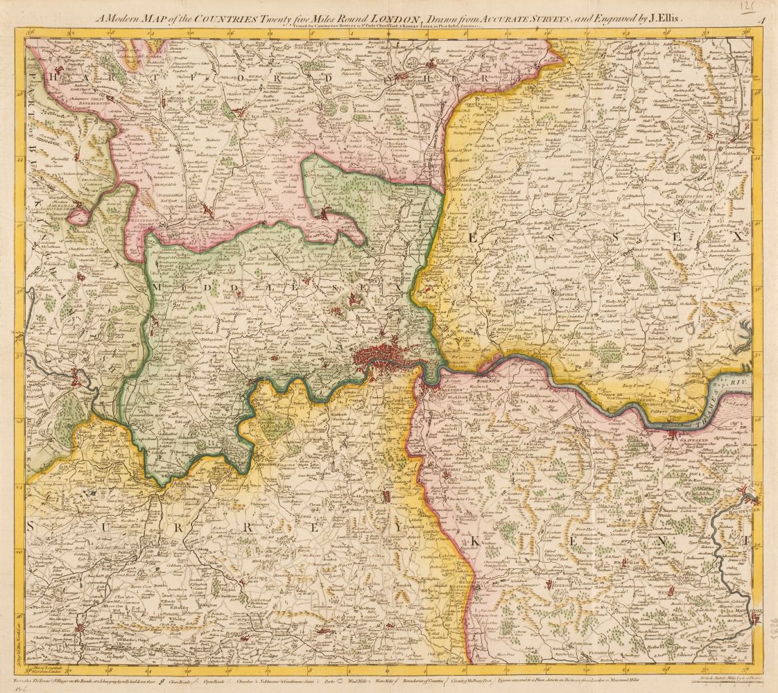
Title: Collection of 18 maps primarily of the Pacific Northwest Author: Place: Various places Publisher: Date: Various dates Description: Includes: Cook. Sketch of Nootka Sound: A Ship Cove... [1784]. Spottswood & Nancrede. A Correct Chart of the West Coast of North America from Bherings straits to Nootka Sound. [1796]/ Stockdale & Goulding. Sketch of Portlocks & Gouldings Harbours on the North West Coast of America... (Margins chipped.) 1789. Cassell, et al. British Columbia (New Caledonia} [on sheet with] Vancouver Island. c.1880. Archer, J. British and Russian America. 2 examples, 1 with outline coloring. [1842]. Poirson. Amerique Septentrionale. [1830]. Blackie & Son. The United States of North America: Pacific States. [on sheet with] The North Atlantic Ocean. c.1890. Colton. Colton's Washington and Oregon. (Margins chipped). 1853, Mitchell. Map of Oregon, Washington, Idaho, and Part of Montana. 2 examples. 1860 & 1879. Gray. Oregon and Washington. 1873. Johnson & Browning. Johnson's Washington and Oregon. c.1860. Century Atlas. Washington. 1897. Indexed Atlas of the World. Washington Ter. (Marginal chip.) N.d. Anon. Washington. [on sheet with] Oregon. (Tears into image, marginal chips.) n.d. Smith, Elder. Map of the Oregon to illustrate Ross's Fur Hunters of the Far West. [1855]. Mitchell. Map of Oregon, Washington and Part of Idaho. 1860. Johnson & Ward. Johnson's Washington, Oregon and Idaho. (Framed under glass). [c.1860] Together, 18 maps sheets. Engraved or lithogrphed, some hand-colored. Various sizes. Lot Amendments Condition: Good or better condition, sold as is. Item number: 254354
Title: Collection of 18 maps primarily of the Pacific Northwest Author: Place: Various places Publisher: Date: Various dates Description: Includes: Cook. Sketch of Nootka Sound: A Ship Cove... [1784]. Spottswood & Nancrede. A Correct Chart of the West Coast of North America from Bherings straits to Nootka Sound. [1796]/ Stockdale & Goulding. Sketch of Portlocks & Gouldings Harbours on the North West Coast of America... (Margins chipped.) 1789. Cassell, et al. British Columbia (New Caledonia} [on sheet with] Vancouver Island. c.1880. Archer, J. British and Russian America. 2 examples, 1 with outline coloring. [1842]. Poirson. Amerique Septentrionale. [1830]. Blackie & Son. The United States of North America: Pacific States. [on sheet with] The North Atlantic Ocean. c.1890. Colton. Colton's Washington and Oregon. (Margins chipped). 1853, Mitchell. Map of Oregon, Washington, Idaho, and Part of Montana. 2 examples. 1860 & 1879. Gray. Oregon and Washington. 1873. Johnson & Browning. Johnson's Washington and Oregon. c.1860. Century Atlas. Washington. 1897. Indexed Atlas of the World. Washington Ter. (Marginal chip.) N.d. Anon. Washington. [on sheet with] Oregon. (Tears into image, marginal chips.) n.d. Smith, Elder. Map of the Oregon to illustrate Ross's Fur Hunters of the Far West. [1855]. Mitchell. Map of Oregon, Washington and Part of Idaho. 1860. Johnson & Ward. Johnson's Washington, Oregon and Idaho. (Framed under glass). [c.1860] Together, 18 maps sheets. Engraved or lithogrphed, some hand-colored. Various sizes. Lot Amendments Condition: Good or better condition, sold as is. Item number: 254354


Try LotSearch and its premium features for 7 days - without any costs!
Be notified automatically about new items in upcoming auctions.
Create an alert