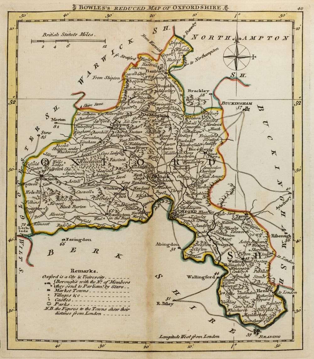
Clegg (Ernest). A collection of seven British county maps, maps, published John Waddington, 1945 - 1947, seven colour printed decorative pictorial maps, two (Sussex and Northumberland) laid on board, one (Norfolk) printed on silk but stained, one duplicate, each approximately 530 x 415 mm, together with: McRae (Lieut. Col. John M.D.). In Flanders Fields, New York, 1921, printed title, four colour illustrations after Ernest Clegg, limited to 265 copies printed by William Edwin Rudge, bookplate of the Typographic Library and Museum of the American Type Founders Company, publisher's boards with gilt title to upper siding, spine frayed with loss, slim 8vo, Hoffman (Spencer). A Map shewing the Hills, Villages, Churches and the Houses of the Great and Good within some seven miles North and Nor'west of Thame, published John Fothergill 1925, pictorial map, 325 x 410 mm, and another 14 engraved county maps, town plans and road maps, with examples by Holder, Ellis, Kitchin, Baines, Ogilby, Morden, Moule and Fullarton, various sizes and condition (Qty: 23) The Ernest Clegg maps comprise: Oxfordshire, Cambridgeshire, Northumberland, Sussex, Derbyshire (2 copies) & Norfolk.
Clegg (Ernest). A collection of seven British county maps, maps, published John Waddington, 1945 - 1947, seven colour printed decorative pictorial maps, two (Sussex and Northumberland) laid on board, one (Norfolk) printed on silk but stained, one duplicate, each approximately 530 x 415 mm, together with: McRae (Lieut. Col. John M.D.). In Flanders Fields, New York, 1921, printed title, four colour illustrations after Ernest Clegg, limited to 265 copies printed by William Edwin Rudge, bookplate of the Typographic Library and Museum of the American Type Founders Company, publisher's boards with gilt title to upper siding, spine frayed with loss, slim 8vo, Hoffman (Spencer). A Map shewing the Hills, Villages, Churches and the Houses of the Great and Good within some seven miles North and Nor'west of Thame, published John Fothergill 1925, pictorial map, 325 x 410 mm, and another 14 engraved county maps, town plans and road maps, with examples by Holder, Ellis, Kitchin, Baines, Ogilby, Morden, Moule and Fullarton, various sizes and condition (Qty: 23) The Ernest Clegg maps comprise: Oxfordshire, Cambridgeshire, Northumberland, Sussex, Derbyshire (2 copies) & Norfolk.

Try LotSearch and its premium features for 7 days - without any costs!
Be notified automatically about new items in upcoming auctions.
Create an alert