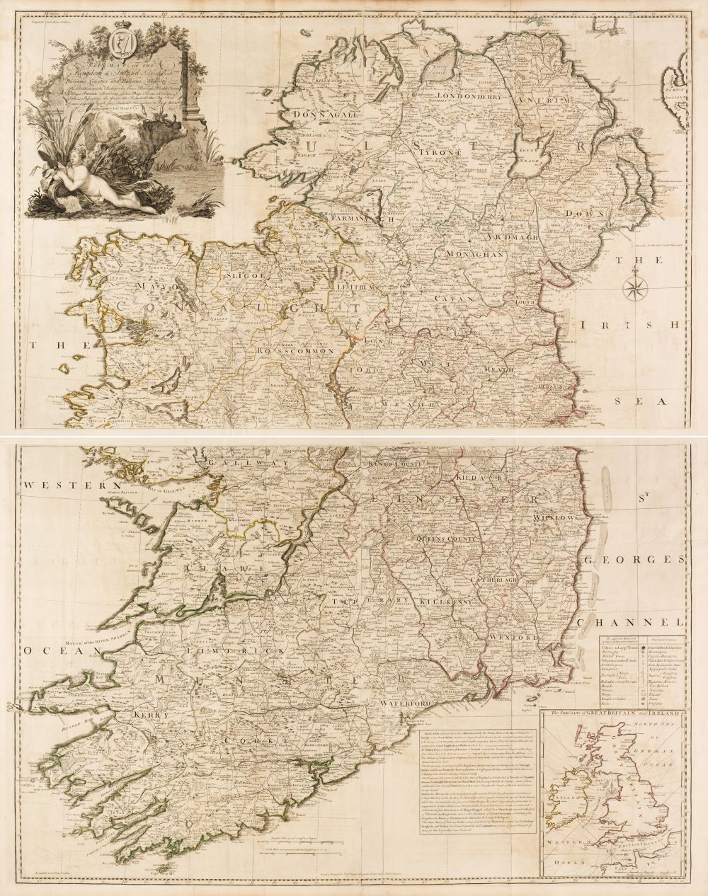
Circa 1760 Map of Ireland, by John Rocque
Signature: Medium: Dimensions: 25¾ x 39½in. (65.41 x 100.33cm) Provenance: Exhibited: Literature: The Kingdom of Ireland Divided into Provinces Counties and Baronies. Showing the Archbishopricks, Bishopricks, Cities, Boroughs, Market Towns, Villages, Barracks, Mountains, Lakes, Bogs, Rivers, Bridg... ges, Ferries, Passes...". With large decorative title cartouche in top left corner and inset map of the sea coasts of Great Britain and Ireland bottom right. A very large engraved map, printed on 4 sheets, In two sections North & South. Colouring to the county and provincial borders. Unframed. The larger (Southern) section MAP more






Try LotSearch and its premium features for 7 days - without any costs!
Be notified automatically about new items in upcoming auctions.
Create an alert