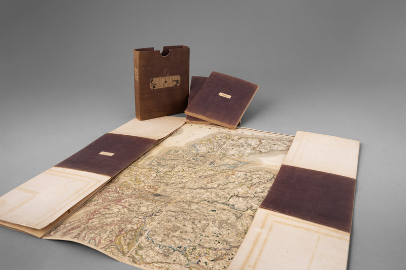
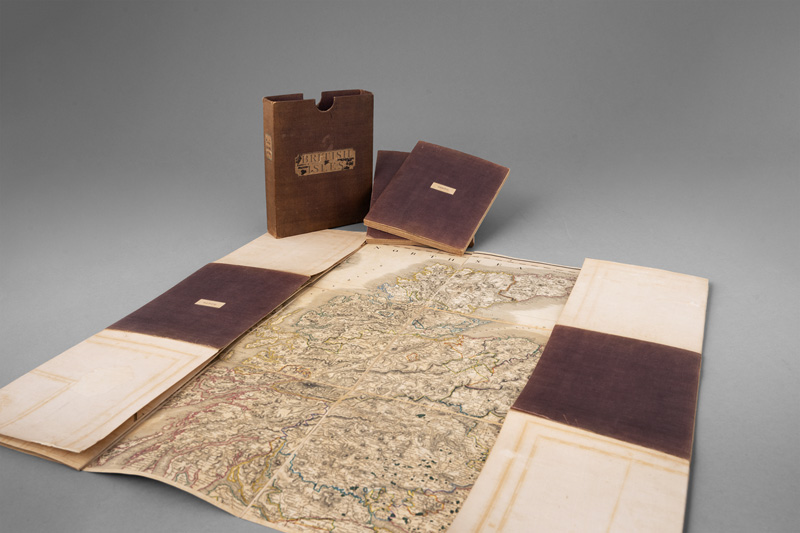
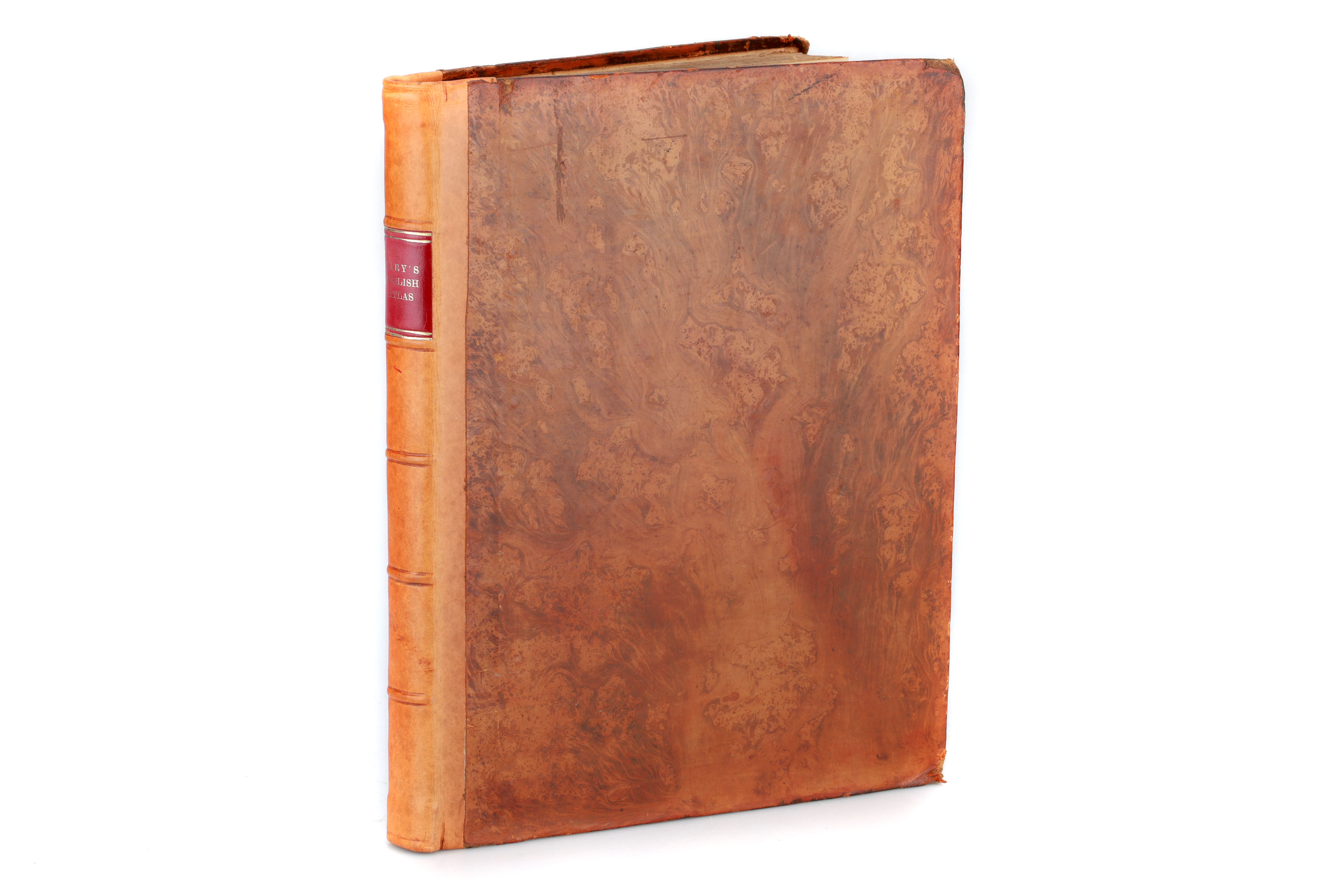
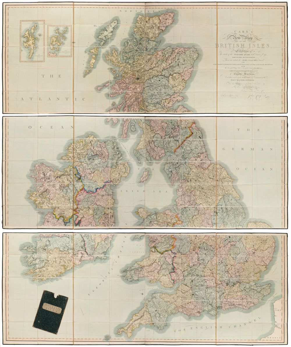
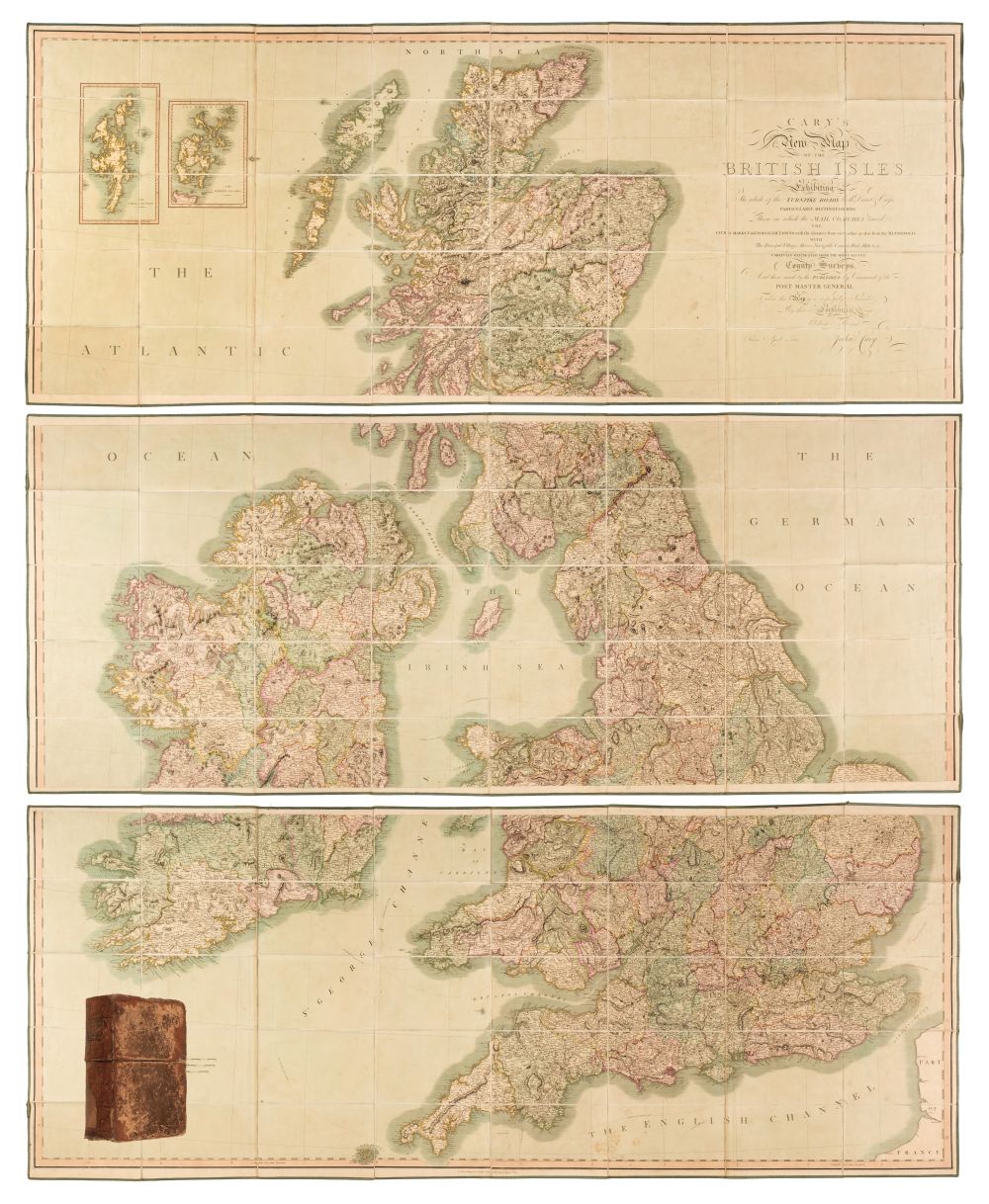
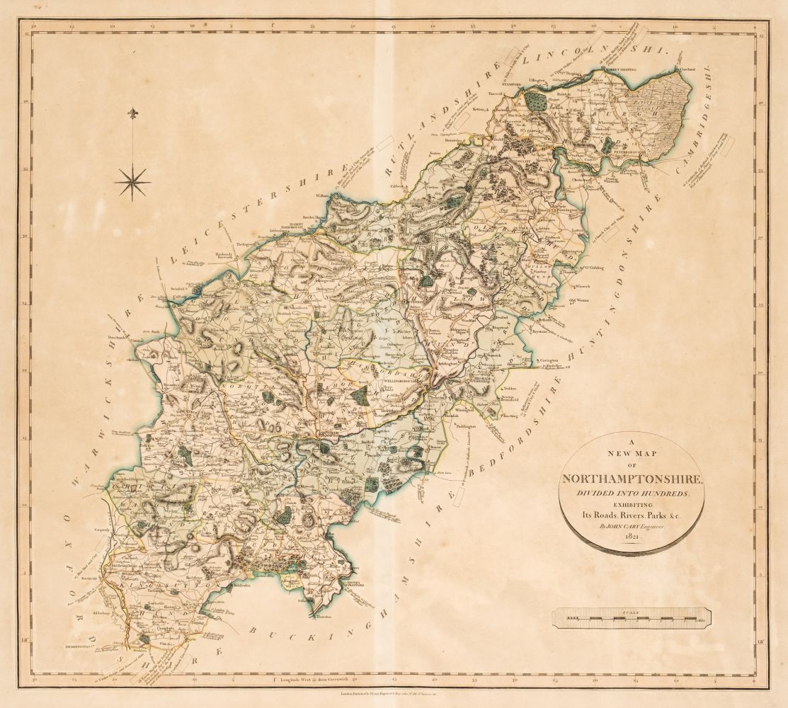
Cary (John). New British Atlas, Being a Complete Set of County Maps, on which are delineated all the Roads, Cities, Towns, Villages, Rivers & Canals; together with Correct General Maps of England, Wales, Scotland and Ireland, printed for John Stockdale, 1805, calligraphic title (with some staining), index, 50 engraved maps (complete as list), all with contemporary outline colouring, the map of Lancashire torn with loss, crudely repaired, maps of Hampshire and North Riding of Yorkshire trimmed with slight loss to the printed margin, slight worming to the upper margins, some dust and finger soiling throughout, later endpapers, bookplate of R. H. Johnstone, modern quarter calf, slim folio (Quantity: 1) Chubb. CCCXIX.
Cary (John). New British Atlas, Being a Complete Set of County Maps, on which are delineated all the Roads, Cities, Towns, Villages, Rivers & Canals; together with Correct General Maps of England, Wales, Scotland and Ireland, printed for John Stockdale, 1805, calligraphic title (with some staining), index, 50 engraved maps (complete as list), all with contemporary outline colouring, the map of Lancashire torn with loss, crudely repaired, maps of Hampshire and North Riding of Yorkshire trimmed with slight loss to the printed margin, slight worming to the upper margins, some dust and finger soiling throughout, later endpapers, bookplate of R. H. Johnstone, modern quarter calf, slim folio (Quantity: 1) Chubb. CCCXIX.



Testen Sie LotSearch und seine Premium-Features 7 Tage - ohne Kosten!
Lassen Sie sich automatisch über neue Objekte in kommenden Auktionen benachrichtigen.
Suchauftrag anlegen