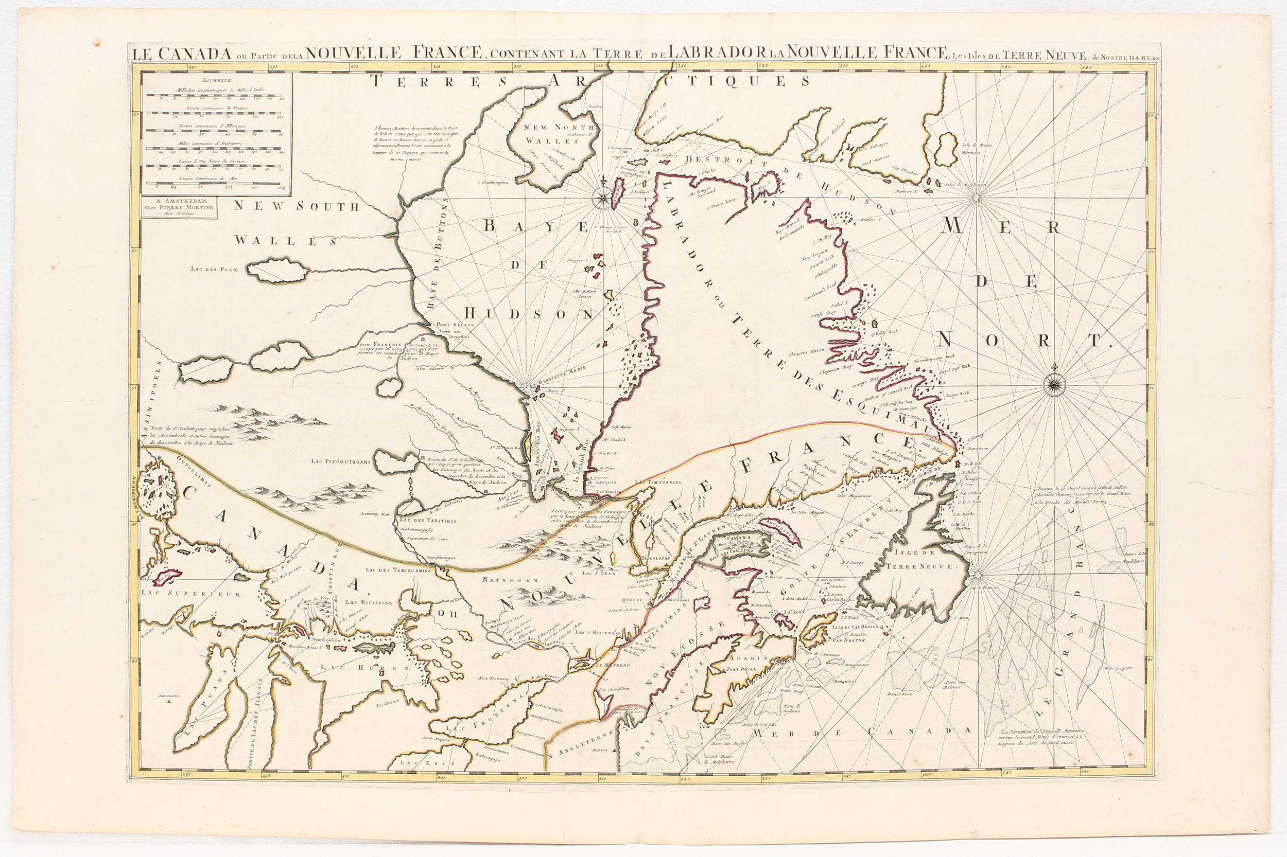
Kanada. "Le Canada ou partie de la Nouvelle France". Östlicher Teil Kanadas zwischen Labrador und den Großen Seen. Grenzkol. Kupferstich-Karte von H. Jaillot, Paris, 1696 (aus P. Mortier, Atlas Royal). Mit 2 figürl. und ornament. Kartuschen. 46:61 cm, darüber latein. Titel "Nova Canadae...".
Derivative "published with Jaillot's consent in Amsterdam by Pierre Mortier" in the early state with date of 1696. The most obvious difference to the map by J. of 1685 (cf. Burden 609) is the Latin title at top, and also the shortened side at left, thereby "Lac Superieur" extending with open coast up into the engraved border, furthermore an additional compass rose at upper right. - Col. in outline. Light spotting in places. Small tear to upper blank margin.


.jpg)


Testen Sie LotSearch und seine Premium-Features 7 Tage - ohne Kosten!
Lassen Sie sich automatisch über neue Objekte in kommenden Auktionen benachrichtigen.
Suchauftrag anlegen