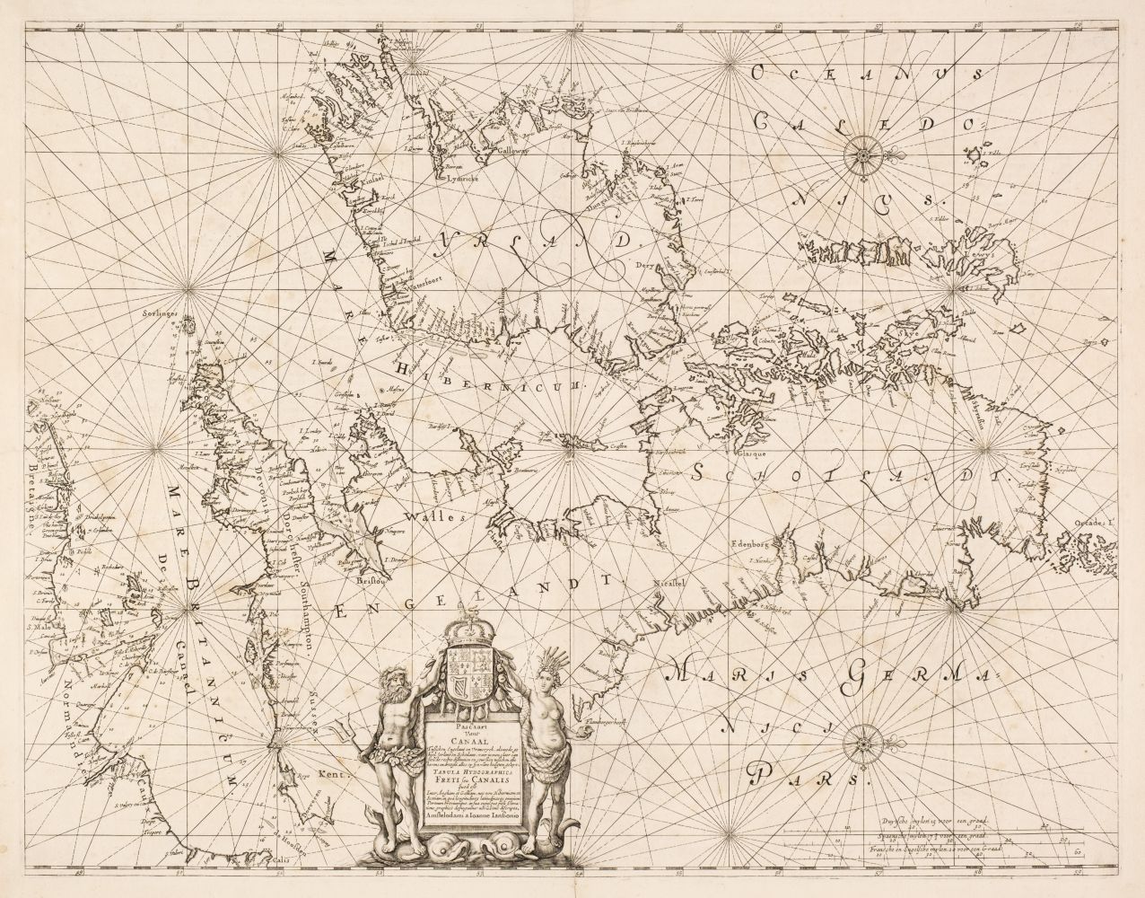
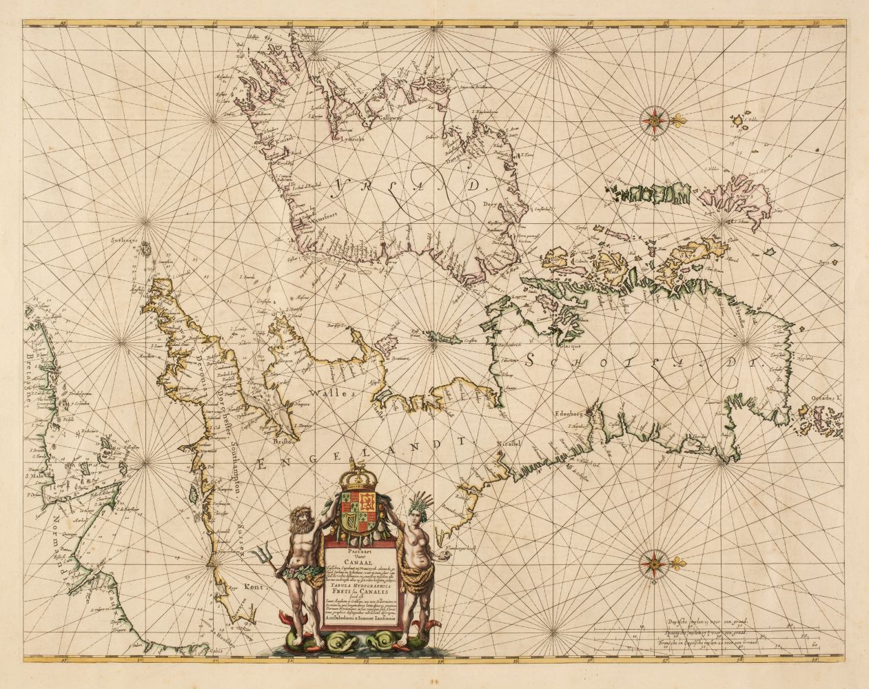
British Isles. Jansson (Jan), Pascaart vant Canaal tusschen Engelant en Vrancryck, alsmede geheel Ierlant en Schotlant..., circa 1650, hand-coloured engraved chart, orientated to the west, compass rose and numerous rhumb lines, decorative title cartouche supported by Neptune and a river goddess and surmounted by the royal crest, slight overall toning, 430 x 550 mm, German text on verso R. W. Shirley. Early Printed Maps of the British Isles, 1477 - 1650, no.659. Originally published in the "Atlantis Majoris Quinta Pars Orbem Maritimum...," the fifth volume of the Atlas Novus.
British Isles. Jansson (Jan), Pascaart vant Canaal tusschen Engelant en Vrancryck, alsmede geheel Ierlant en Schotlant..., circa 1650, hand-coloured engraved chart, orientated to the west, compass rose and numerous rhumb lines, decorative title cartouche supported by Neptune and a river goddess and surmounted by the royal crest, slight overall toning, 430 x 550 mm, German text on verso R. W. Shirley. Early Printed Maps of the British Isles, 1477 - 1650, no.659. Originally published in the "Atlantis Majoris Quinta Pars Orbem Maritimum...," the fifth volume of the Atlas Novus.






Testen Sie LotSearch und seine Premium-Features 7 Tage - ohne Kosten!
Lassen Sie sich automatisch über neue Objekte in kommenden Auktionen benachrichtigen.
Suchauftrag anlegen