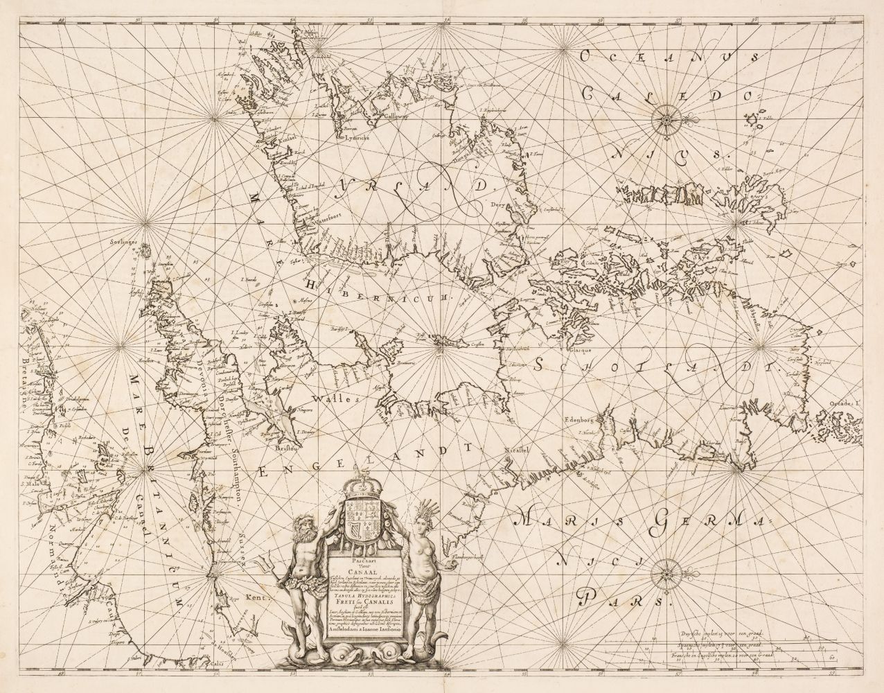
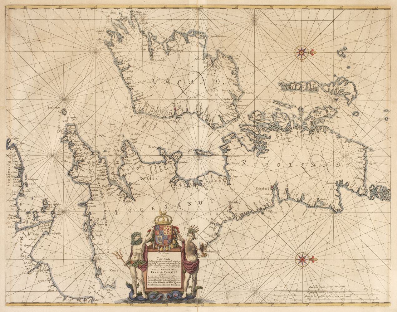
British Isles. Jansson (Jan), Pascaart Vant Canaal Tusschen Engelandt en Vrancryck alsmede geheel Ierlant en Schotlant..., Amsterdam [1650], engraved sea chart with contemporary outline colouring, orientated to the east, cartouche supported by the figures of Neptune and Salacia, compass rose and numerous rhumb lines, very slight spotting, 435 x 550 mm, French text on verso (Quantity: 1) R. W. Shirley. Printed Maps of the British Isles 1650 - 1750, Jansson 1 State 1. Originally published in Jansson's 'Atlantis Majoris Quinta Pars Orbem Martitimum...' printed as volume 5 of the Atlas Novus.
British Isles. Jansson (Jan), Pascaart Vant Canaal Tusschen Engelandt en Vrancryck alsmede geheel Ierlant en Schotlant..., Amsterdam [1650], engraved sea chart with contemporary outline colouring, orientated to the east, cartouche supported by the figures of Neptune and Salacia, compass rose and numerous rhumb lines, very slight spotting, 435 x 550 mm, French text on verso (Quantity: 1) R. W. Shirley. Printed Maps of the British Isles 1650 - 1750, Jansson 1 State 1. Originally published in Jansson's 'Atlantis Majoris Quinta Pars Orbem Martitimum...' printed as volume 5 of the Atlas Novus.






Testen Sie LotSearch und seine Premium-Features 7 Tage - ohne Kosten!
Lassen Sie sich automatisch über neue Objekte in kommenden Auktionen benachrichtigen.
Suchauftrag anlegen