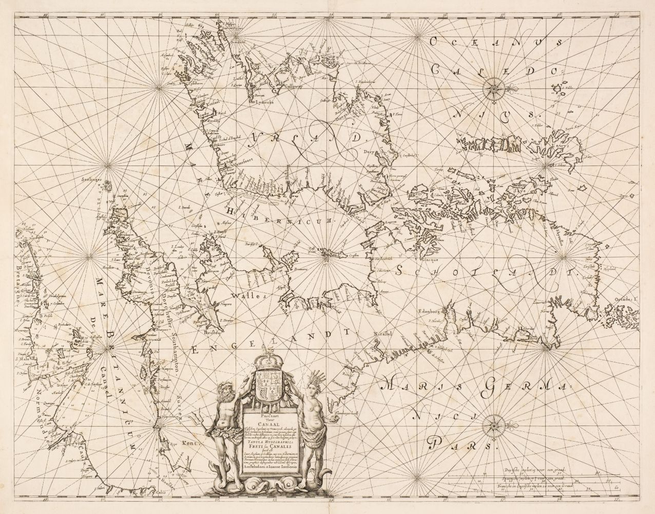
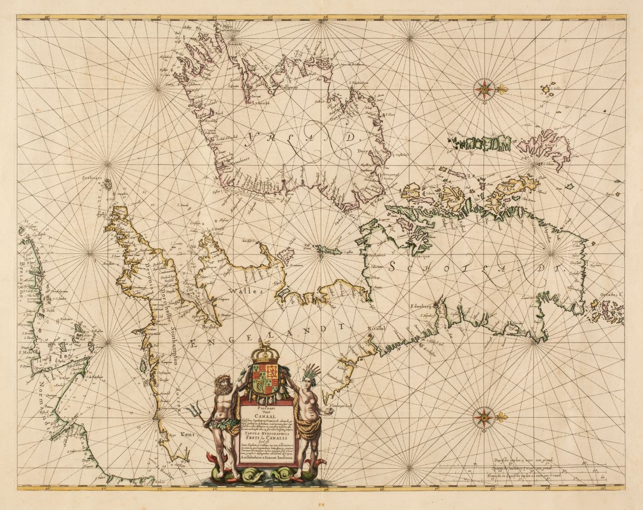
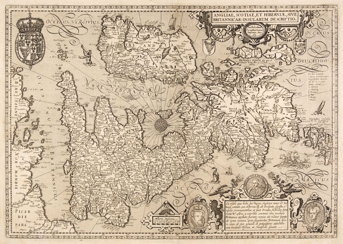
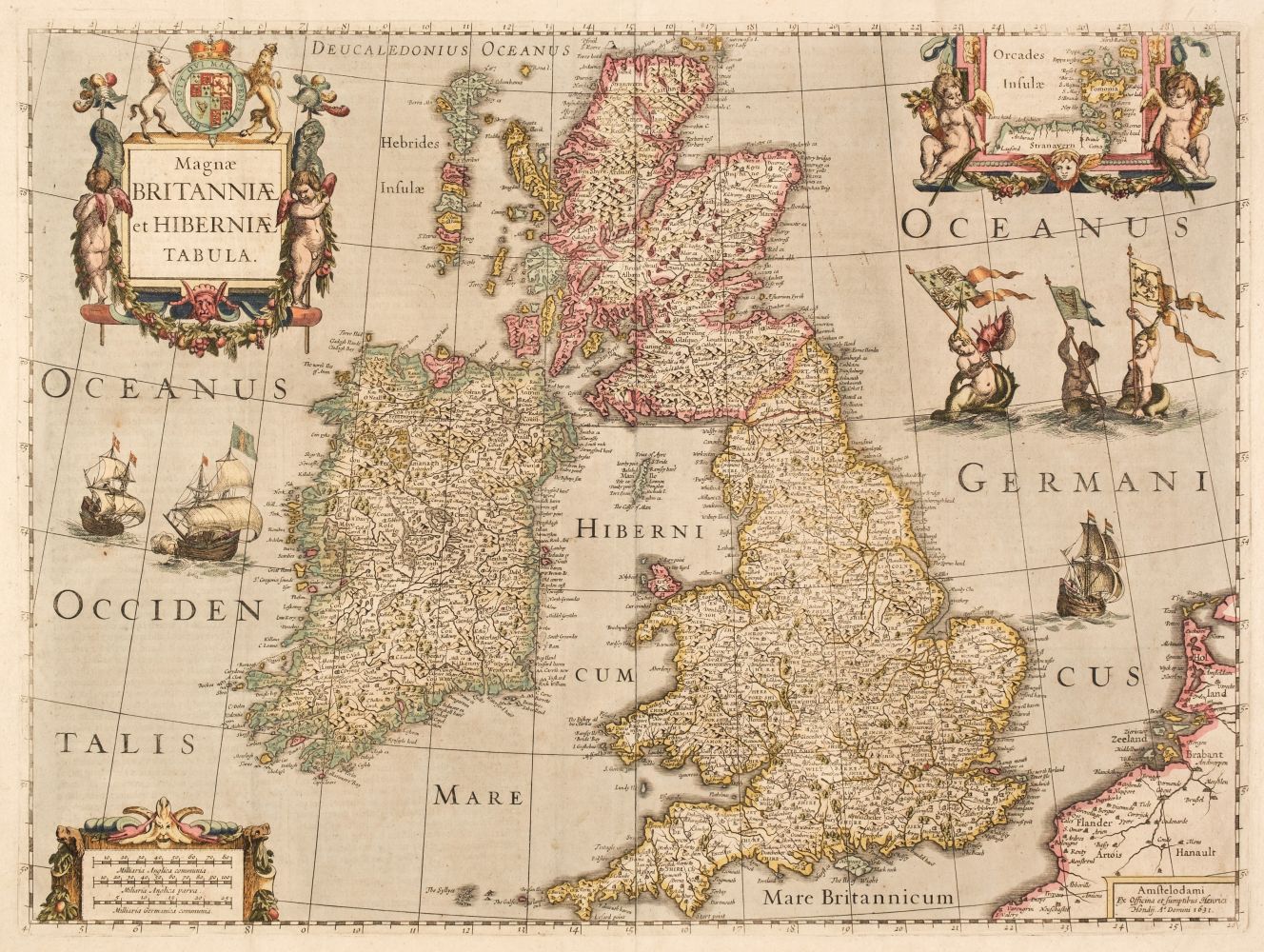
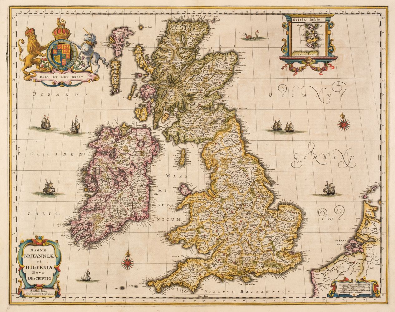
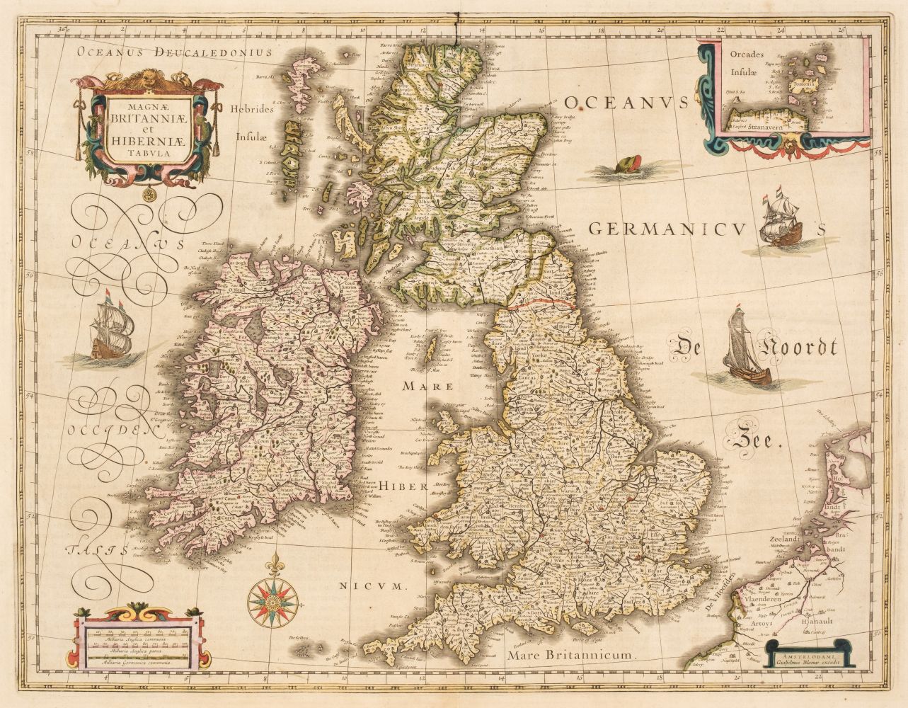
British Isles.- Jansson (Jan) Insularum Britannicarum Acurata Delineatio ex Geographicis Conatibus Abrahami Ortelii, map of the British Isles after Ortelius with north oriented to the right, featuring sea monsters, sailing ships, compass roses and rhumb lines, engraving with some hand-colouring, platemark 395 x 510 mm. (15 1/2 x 20 1/8 in), under glass, some repaired tears and areas of restored loss in the lower margin, surface dirt and some browning, framed, [1646].
British Isles.- Jansson (Jan) Insularum Britannicarum Acurata Delineatio ex Geographicis Conatibus Abrahami Ortelii, map of the British Isles after Ortelius with north oriented to the right, featuring sea monsters, sailing ships, compass roses and rhumb lines, engraving with some hand-colouring, platemark 395 x 510 mm. (15 1/2 x 20 1/8 in), under glass, some repaired tears and areas of restored loss in the lower margin, surface dirt and some browning, framed, [1646].





Testen Sie LotSearch und seine Premium-Features 7 Tage - ohne Kosten!
Lassen Sie sich automatisch über neue Objekte in kommenden Auktionen benachrichtigen.
Suchauftrag anlegen