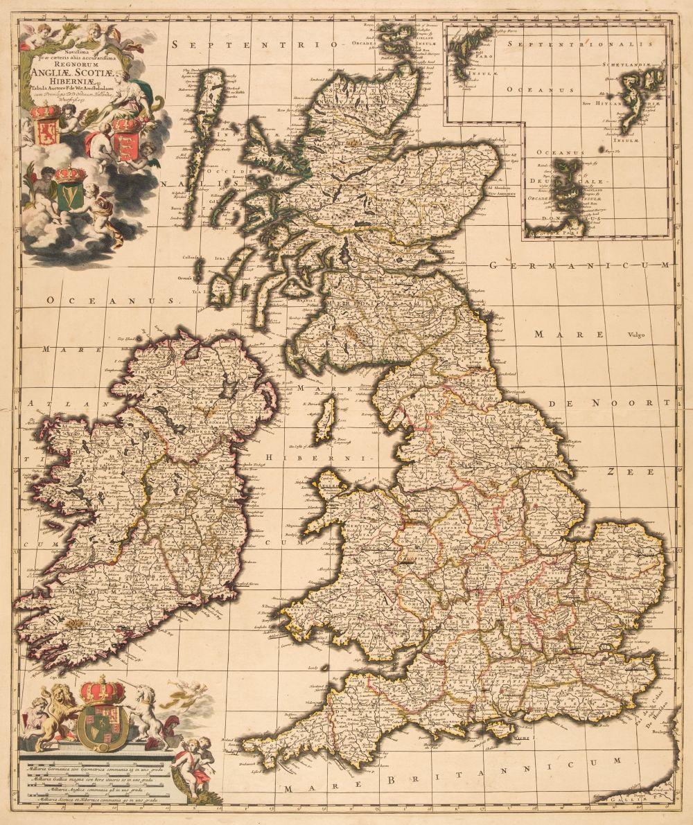
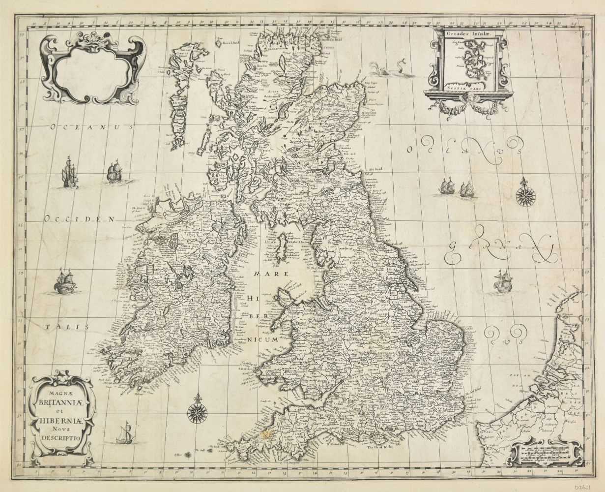
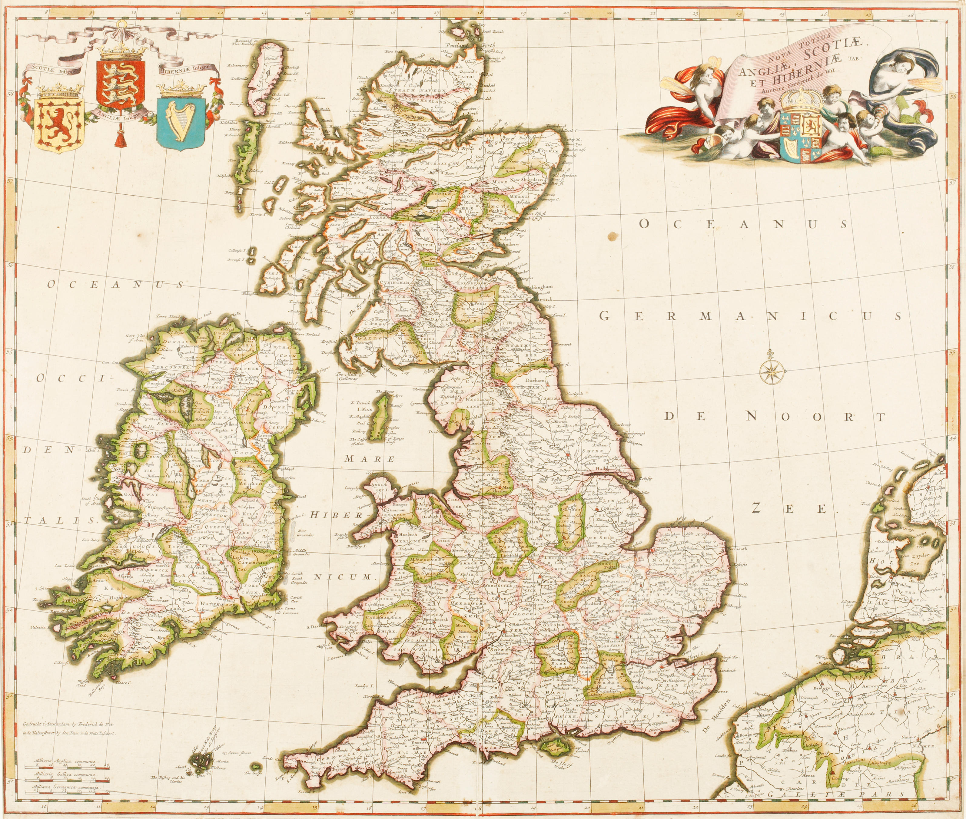
British Isles. De Wit (Frederick), Novissima prae caeteris aliis accuratissima Regnorum Angliae Scotiae Hiberniae..., Amsterdam circa 1690, engraved map with contemporary outline colouring, inset map of the Orkney, Faroes and Shetland Islands, decorative cartouche and mileage scale, slight oxidisation to old watercolour causing small cracks and splits, repaired on verso, occasional marginal closed tears, 590 x 500 mm (Quantity: 1) R. W. Shirley. Printed Maps of the British Isles, 1650 - 1750. De Wit 6, state 2.
British Isles. De Wit (Frederick), Novissima prae caeteris aliis accuratissima Regnorum Angliae Scotiae Hiberniae..., Amsterdam circa 1690, engraved map with contemporary outline colouring, inset map of the Orkney, Faroes and Shetland Islands, decorative cartouche and mileage scale, slight oxidisation to old watercolour causing small cracks and splits, repaired on verso, occasional marginal closed tears, 590 x 500 mm (Quantity: 1) R. W. Shirley. Printed Maps of the British Isles, 1650 - 1750. De Wit 6, state 2.



Testen Sie LotSearch und seine Premium-Features 7 Tage - ohne Kosten!
Lassen Sie sich automatisch über neue Objekte in kommenden Auktionen benachrichtigen.
Suchauftrag anlegen