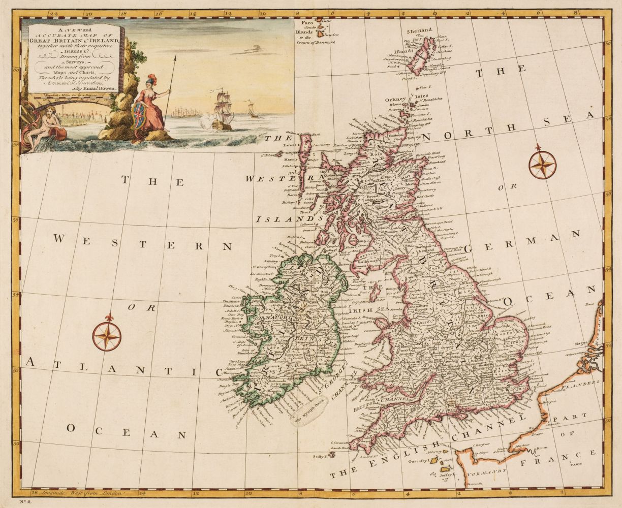
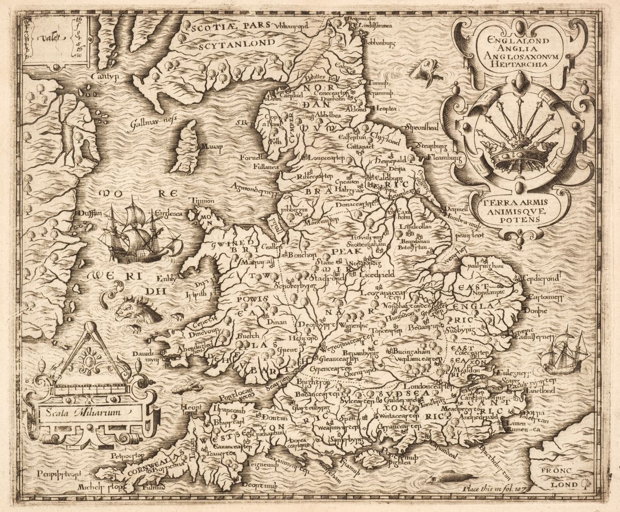
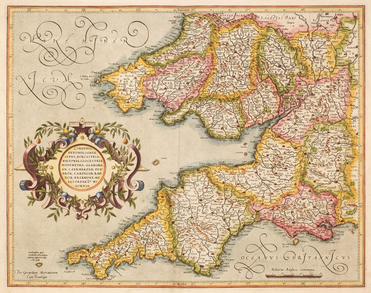
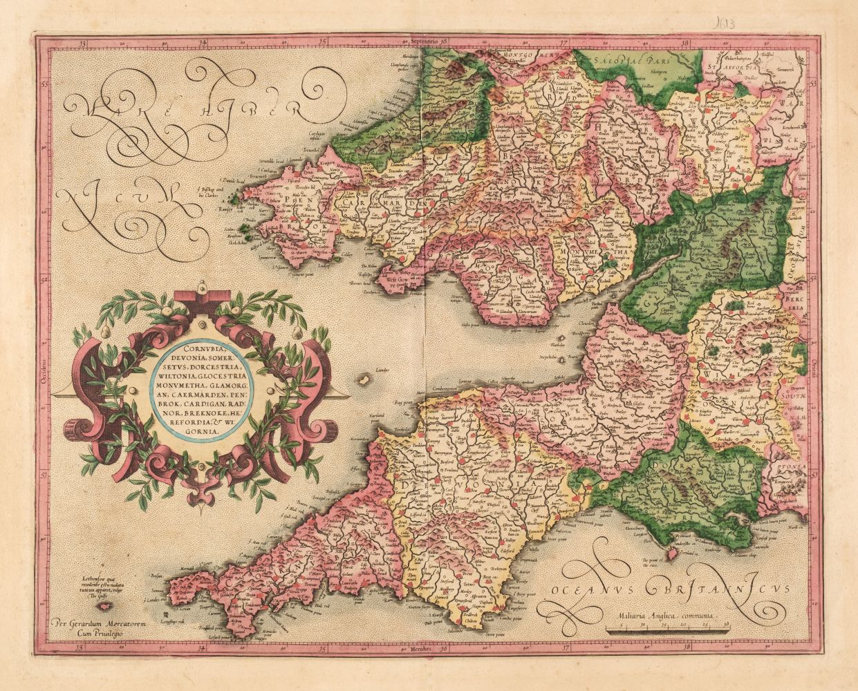
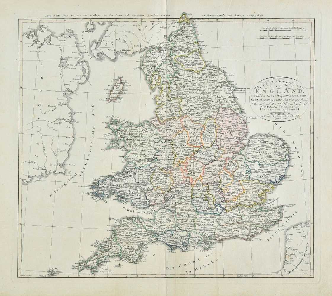
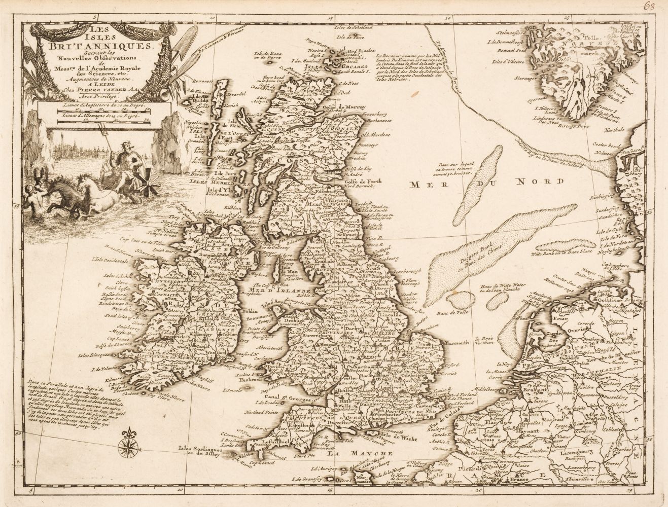
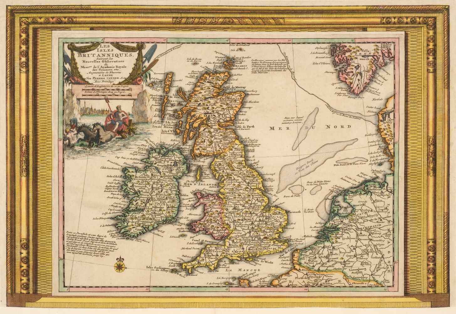
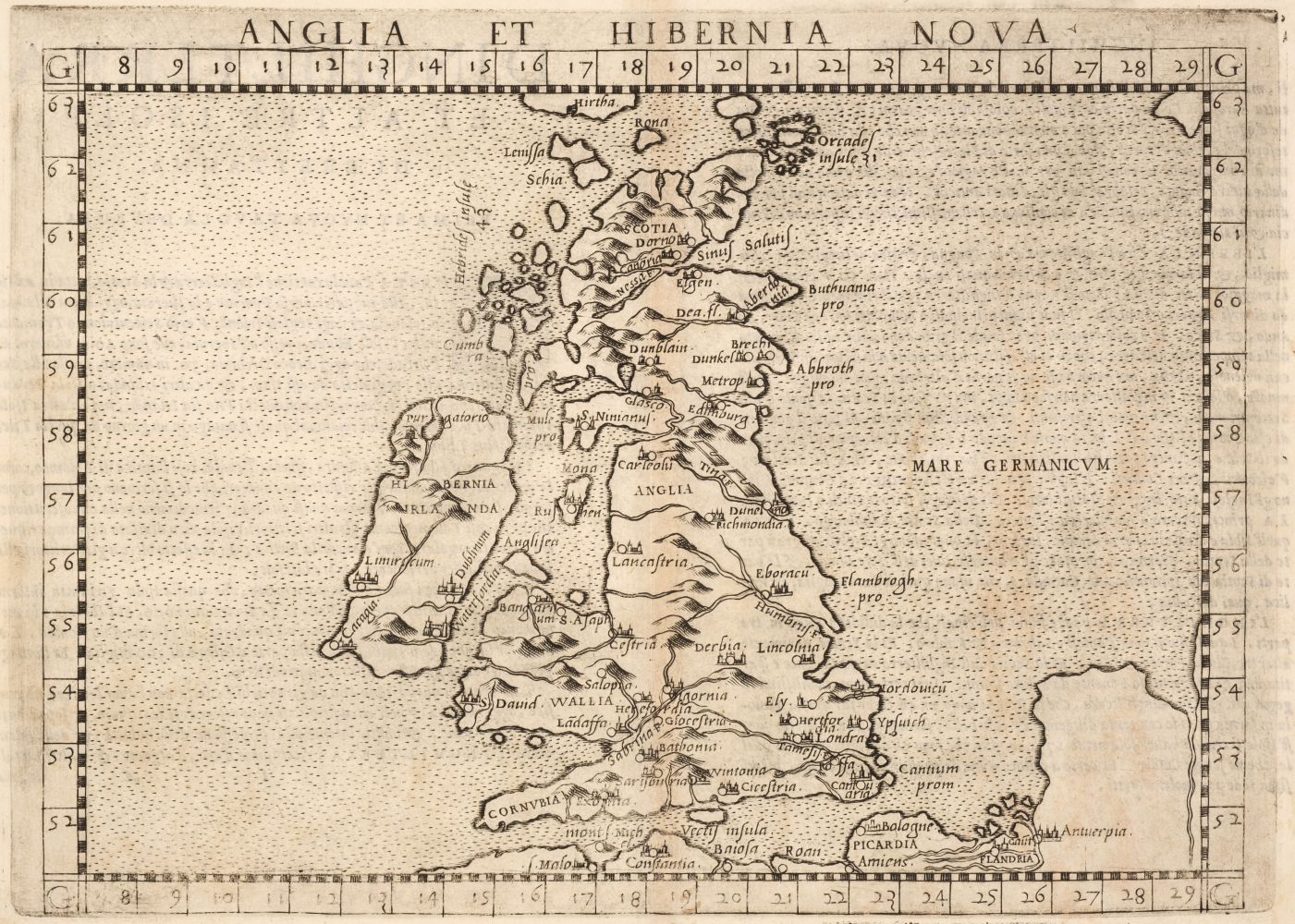
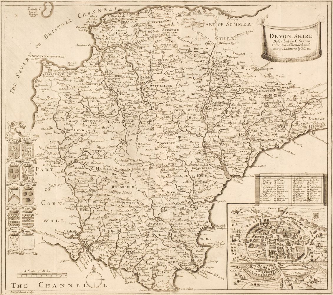
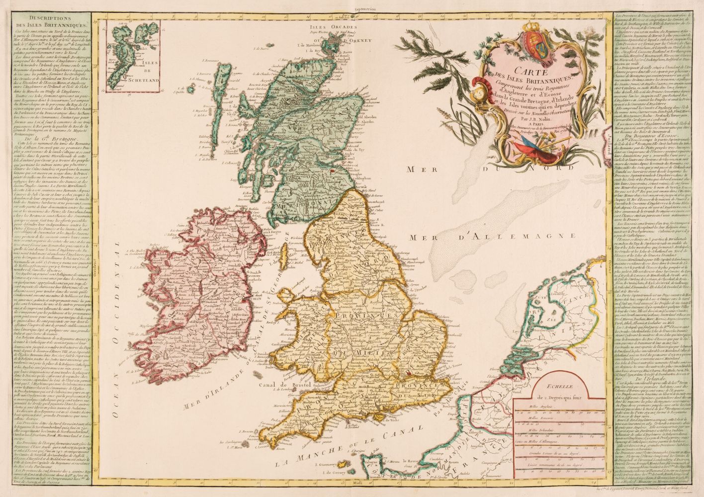
British Isles. A Collection of approximately 200 Maps, mostly 19th & early 20th century, engraved, lithographic and photolithographic maps of British counties, regions, road maps, town plans and regions, including examples by or after Morden, Seller/Grose, Van der Aa, Davies, J & C Walker, Cooke, Cary, Smith, W. & K. Johnston, Stanford, Bartholomew, Harrison, Ordnance Survey, Bowles & Carver, Hall, Dawson, Lewis, Mallet and Bacon, occasional duplicates, various sizes, good condition (Quantity: approx. 200)
British Isles. A Collection of approximately 200 Maps, mostly 19th & early 20th century, engraved, lithographic and photolithographic maps of British counties, regions, road maps, town plans and regions, including examples by or after Morden, Seller/Grose, Van der Aa, Davies, J & C Walker, Cooke, Cary, Smith, W. & K. Johnston, Stanford, Bartholomew, Harrison, Ordnance Survey, Bowles & Carver, Hall, Dawson, Lewis, Mallet and Bacon, occasional duplicates, various sizes, good condition (Quantity: approx. 200)



Try LotSearch and its premium features for 7 days - without any costs!
Be notified automatically about new items in upcoming auctions.
Create an alert