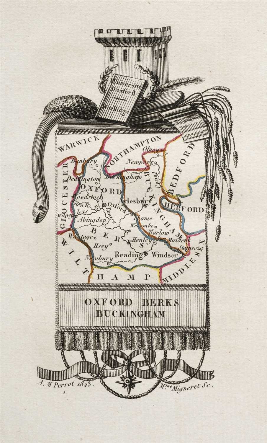
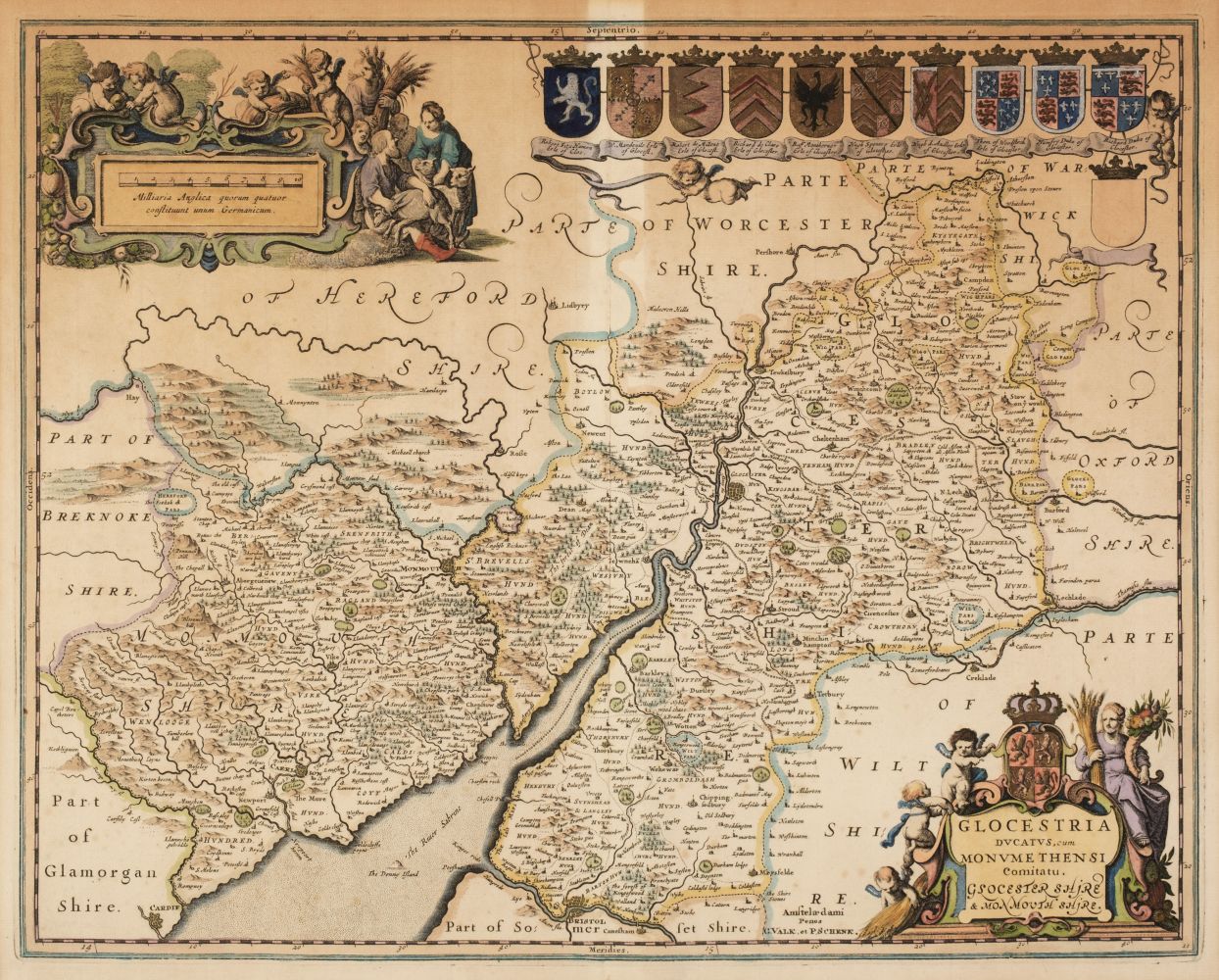
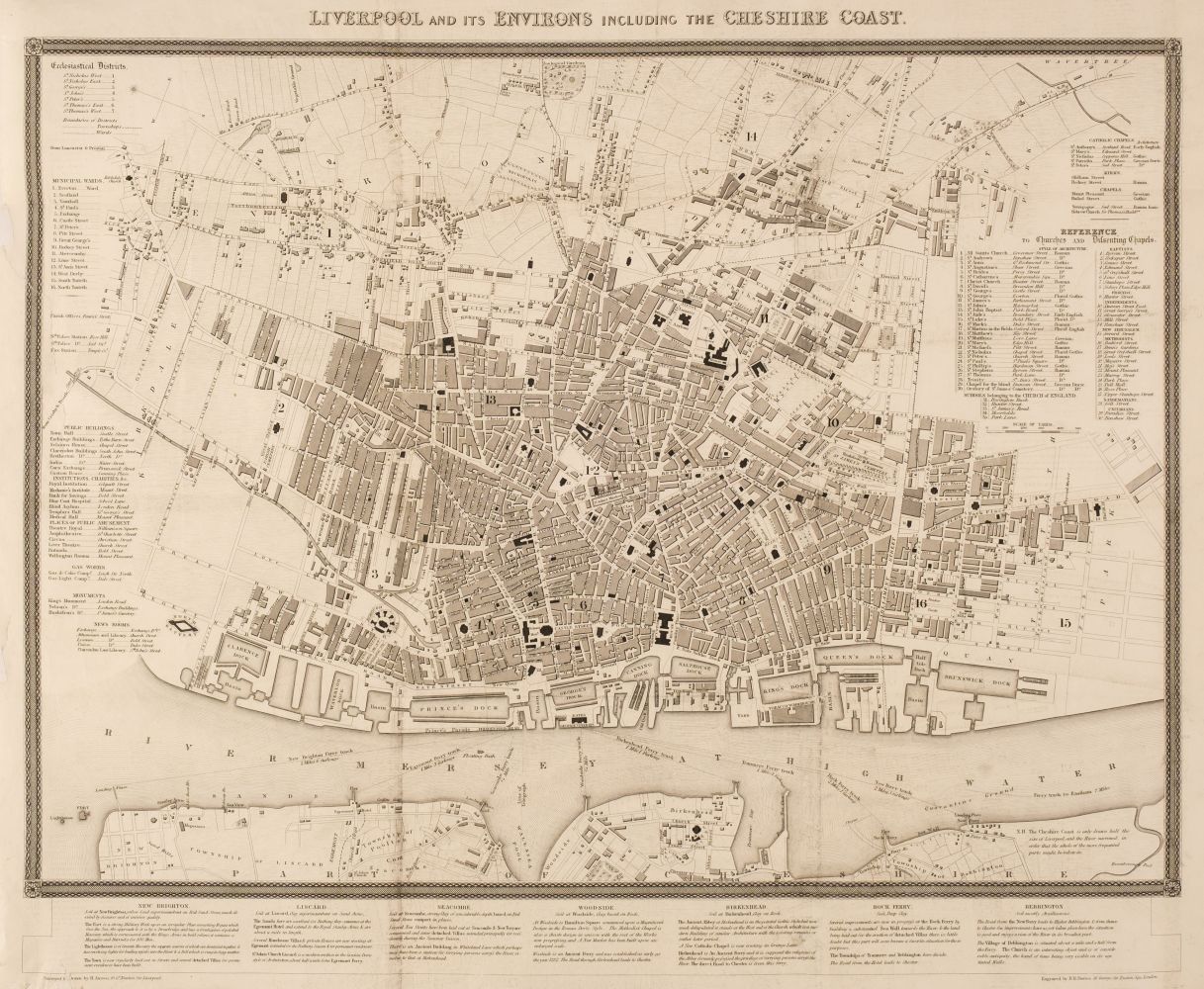
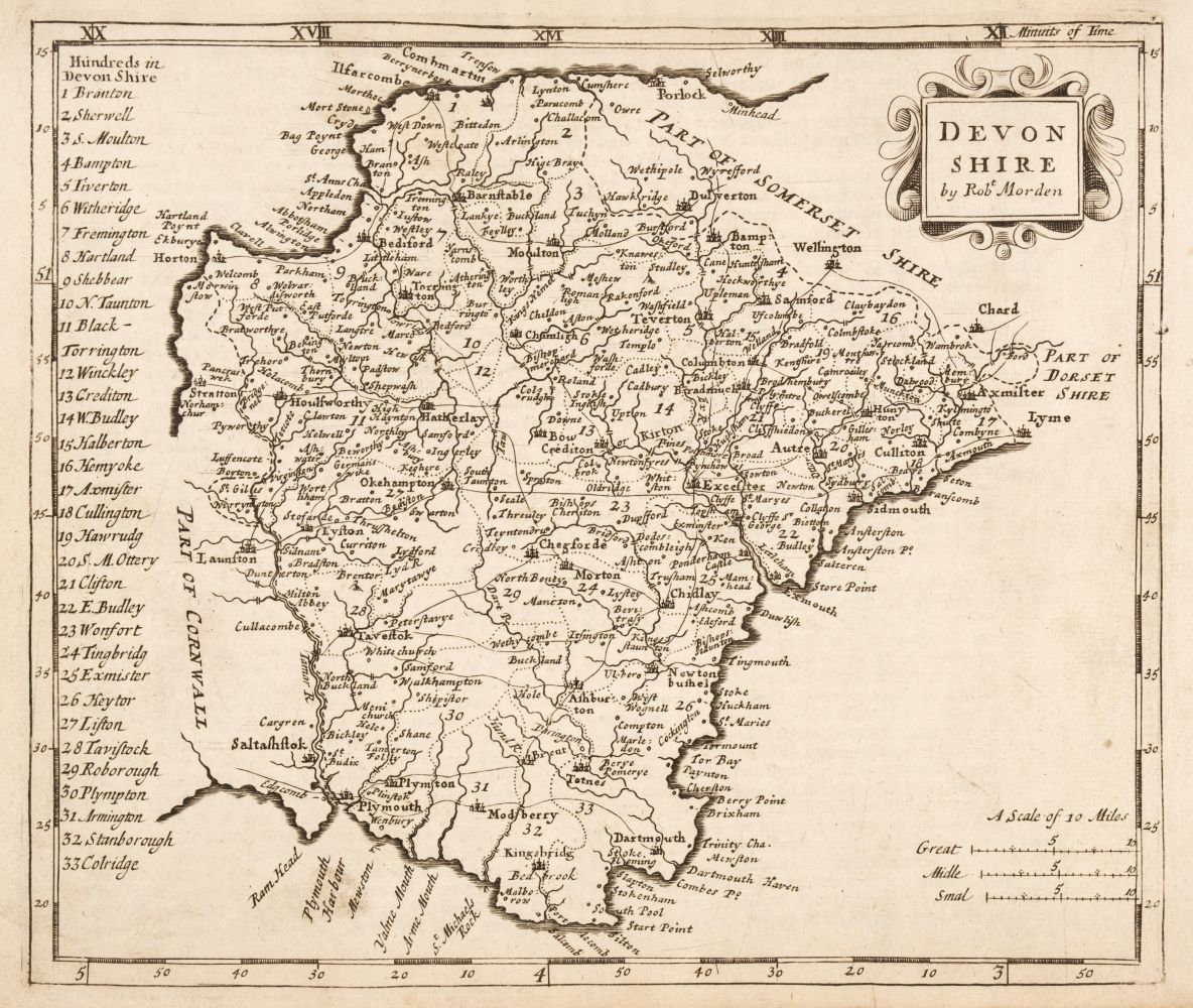
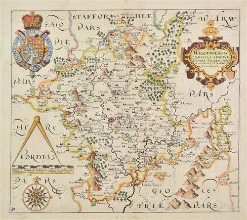
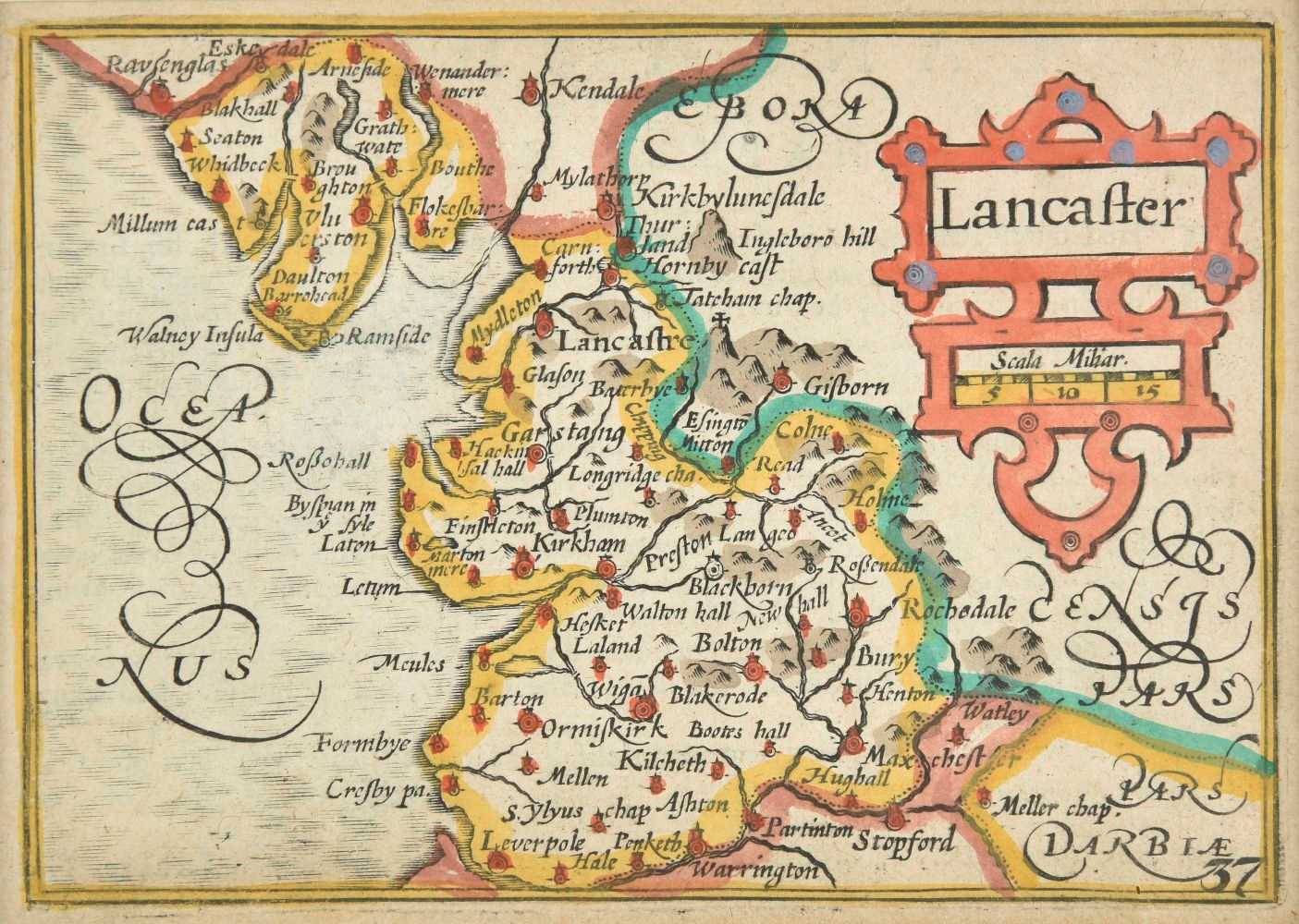
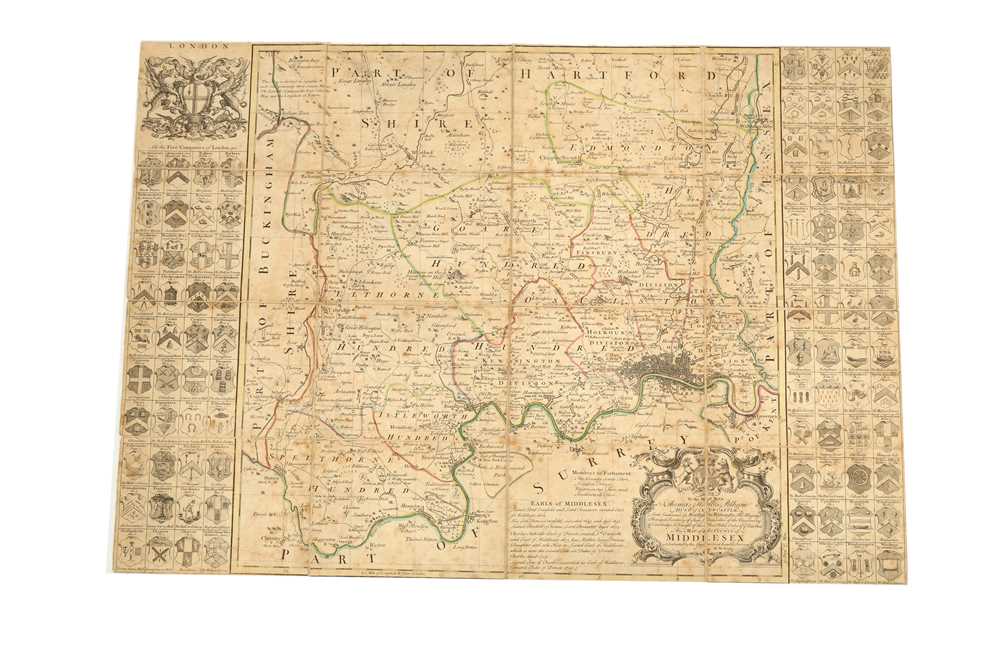
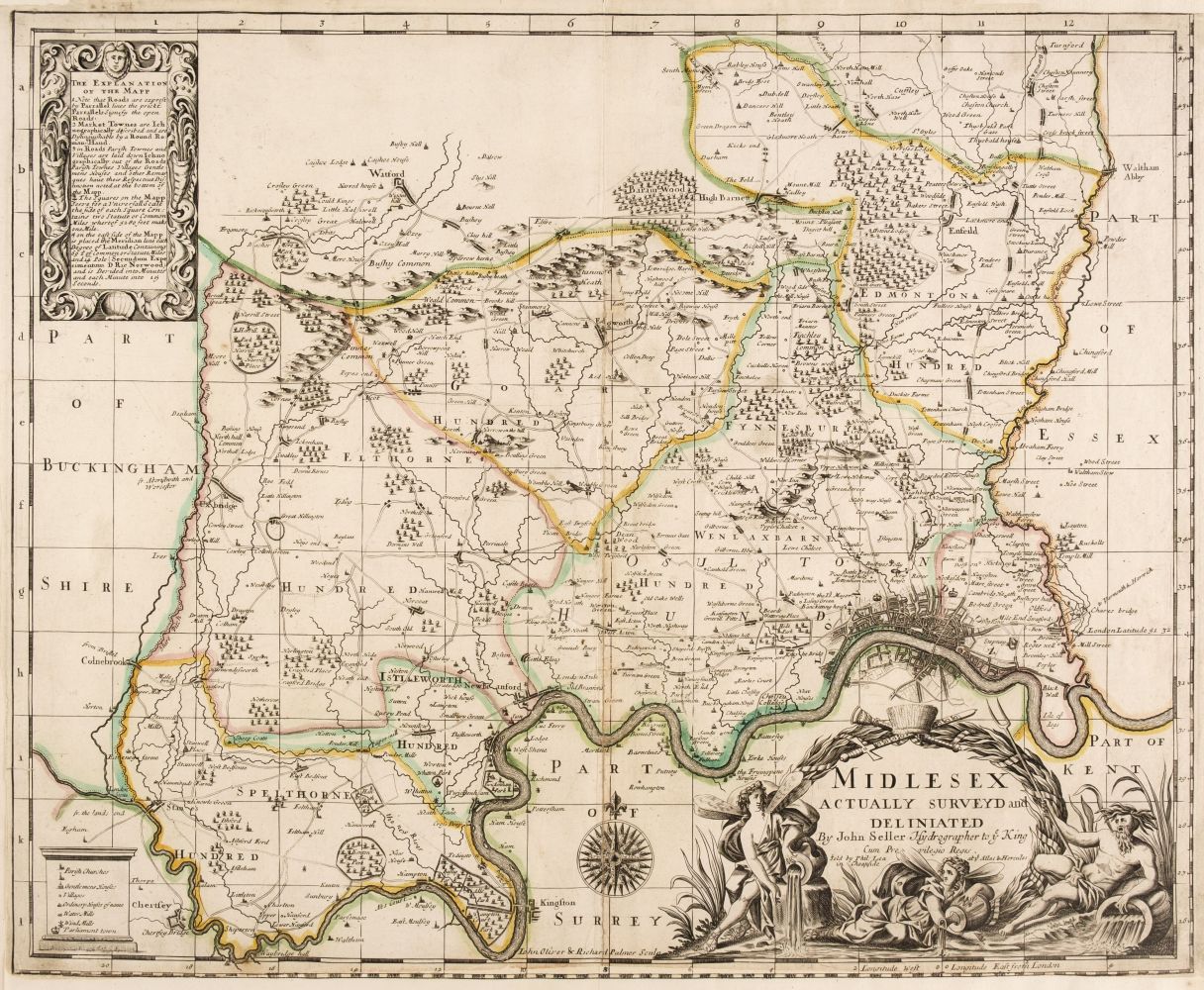
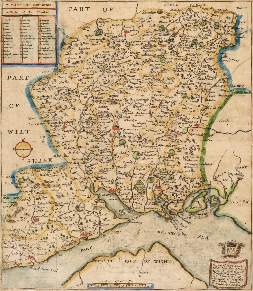
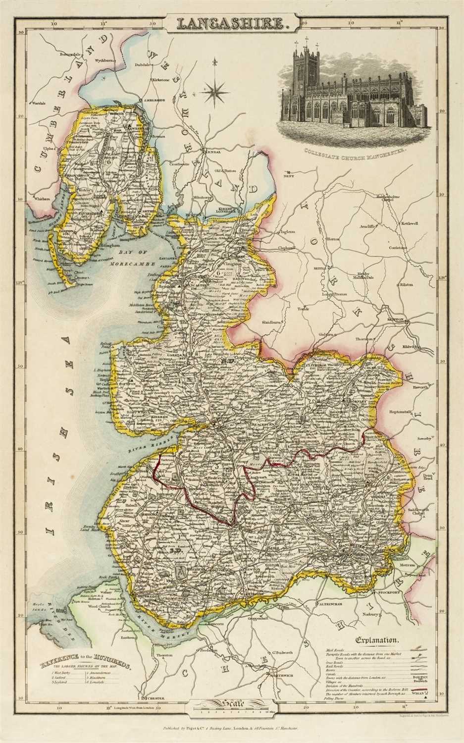
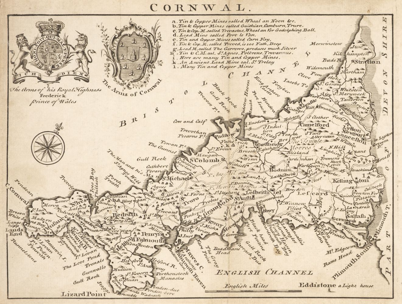
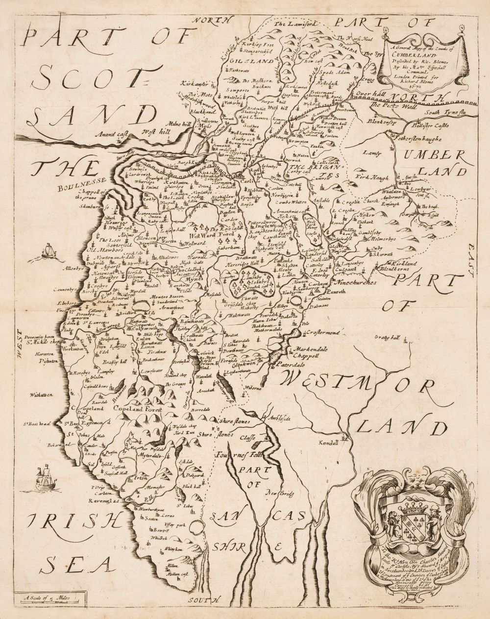
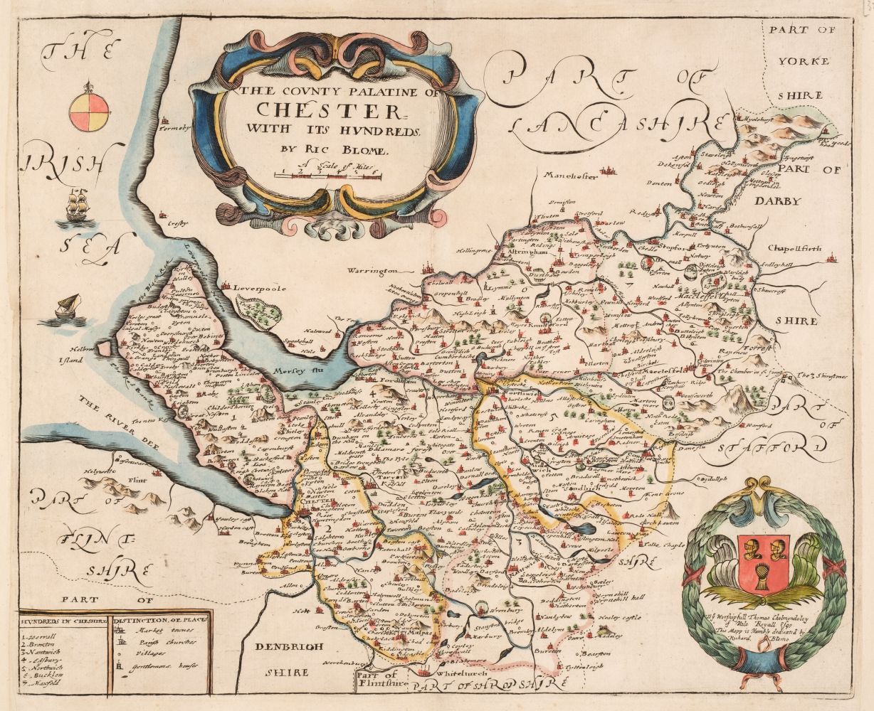
British County Maps. A collection of approximately 140 maps, 17th - 19th century, engraved county, regional and road maps, together with city and town plans and maps of the British Isles, including examples by Blome, Moule, Morden Luffman, Cary. Laurie & Whittle, Dorret, J & C Walker, Seller/Grose, Bowen, Archer, Lewis and Lowry, various sizes and condition (Qty: approx. 140)
British County Maps. A collection of approximately 140 maps, 17th - 19th century, engraved county, regional and road maps, together with city and town plans and maps of the British Isles, including examples by Blome, Moule, Morden Luffman, Cary. Laurie & Whittle, Dorret, J & C Walker, Seller/Grose, Bowen, Archer, Lewis and Lowry, various sizes and condition (Qty: approx. 140)

Try LotSearch and its premium features for 7 days - without any costs!
Be notified automatically about new items in upcoming auctions.
Create an alert