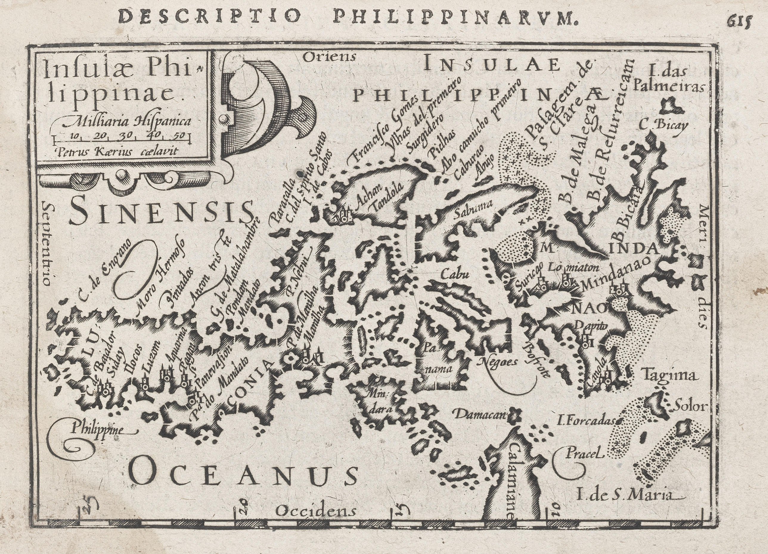
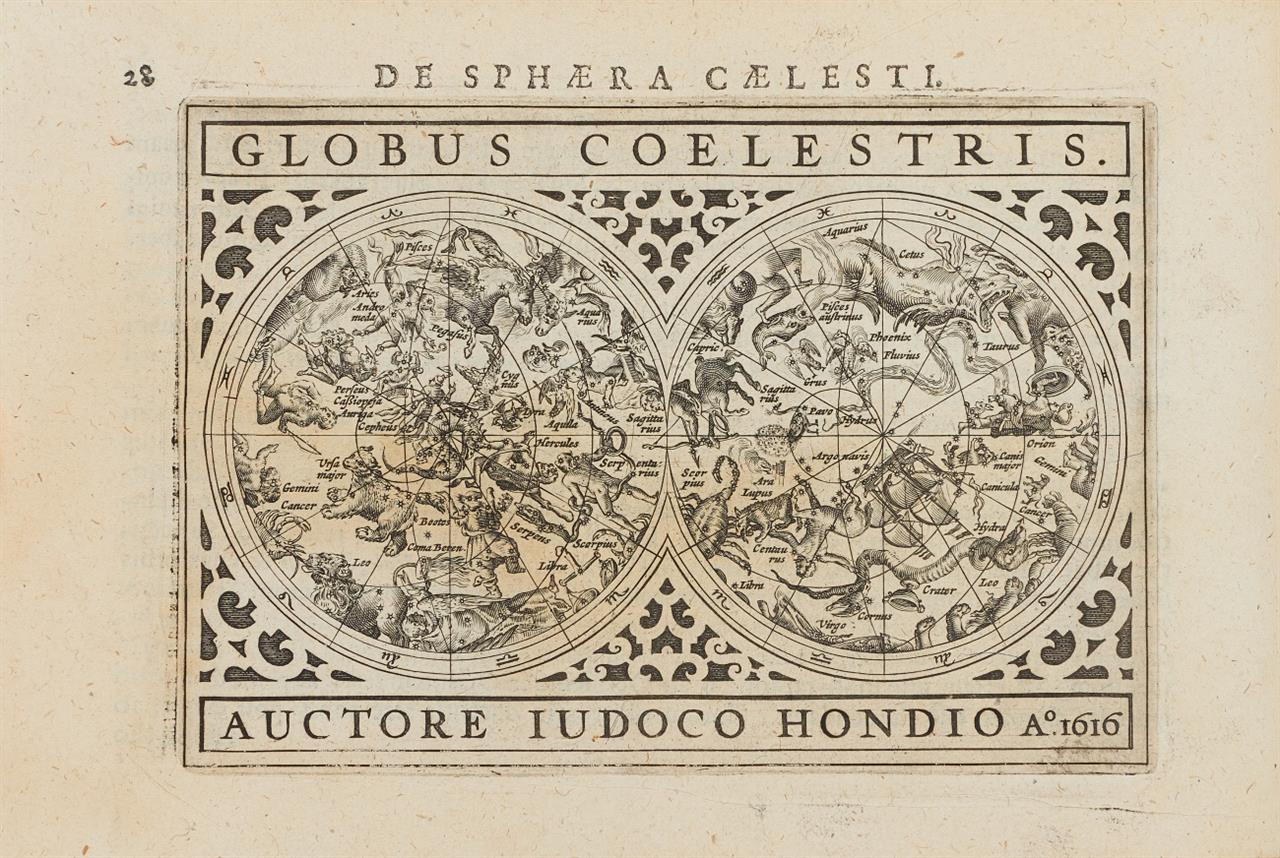
BERTIUS, Petrus (1565-1629). Tabularum geographicarum contractarum libri quinque... Amsterdam: Cornelium Nicolai, 1602. Oblong 8 o (113 x 182 mm). 175 engraved maps (title with perforated stamp, wear to edges some with repairs occasionally affecting text especially at beginning and end). Contemporary vellum with central coat-of-arms (rebacked with old spine laid down, edges repaired, impression of arms very faint). Provenance : Early ownership inscription; Salomon, 1771 (ownership inscription); Harrold Edgar Gillingham (bookplate). Second edition of this pocket atlas first published in 1598 at Middelburg by Barent Langenes under the title Caert-thresoor , and with maps by Peter van den Keere and Jodocus Hondius senior. Koeman emphasizes its importance in declaring: "Under the name of this obscure printer of Middelburg falls a series of atlases, easily the best in this bibliography." The first edition to have the Latin text by Louis XIII's cosmographer, Bertius, appeared in Amsterdam in 1600. "Bertius has here written a new geographical treatise on the whole world, for which the maps serve as illustrations, contrary to the first editions of 1598 and 1599 where the text explained the maps. At the end Bertius links up with Ptolemy's Geographia where he compares the chapters with the books of Ptolemy." This second edition is divided into five parts, and has 7 additional maps. Koeman II, Lan 5.
BERTIUS, Petrus (1565-1629). Tabularum geographicarum contractarum libri quinque... Amsterdam: Cornelium Nicolai, 1602. Oblong 8 o (113 x 182 mm). 175 engraved maps (title with perforated stamp, wear to edges some with repairs occasionally affecting text especially at beginning and end). Contemporary vellum with central coat-of-arms (rebacked with old spine laid down, edges repaired, impression of arms very faint). Provenance : Early ownership inscription; Salomon, 1771 (ownership inscription); Harrold Edgar Gillingham (bookplate). Second edition of this pocket atlas first published in 1598 at Middelburg by Barent Langenes under the title Caert-thresoor , and with maps by Peter van den Keere and Jodocus Hondius senior. Koeman emphasizes its importance in declaring: "Under the name of this obscure printer of Middelburg falls a series of atlases, easily the best in this bibliography." The first edition to have the Latin text by Louis XIII's cosmographer, Bertius, appeared in Amsterdam in 1600. "Bertius has here written a new geographical treatise on the whole world, for which the maps serve as illustrations, contrary to the first editions of 1598 and 1599 where the text explained the maps. At the end Bertius links up with Ptolemy's Geographia where he compares the chapters with the books of Ptolemy." This second edition is divided into five parts, and has 7 additional maps. Koeman II, Lan 5.


Try LotSearch and its premium features for 7 days - without any costs!
Be notified automatically about new items in upcoming auctions.
Create an alert