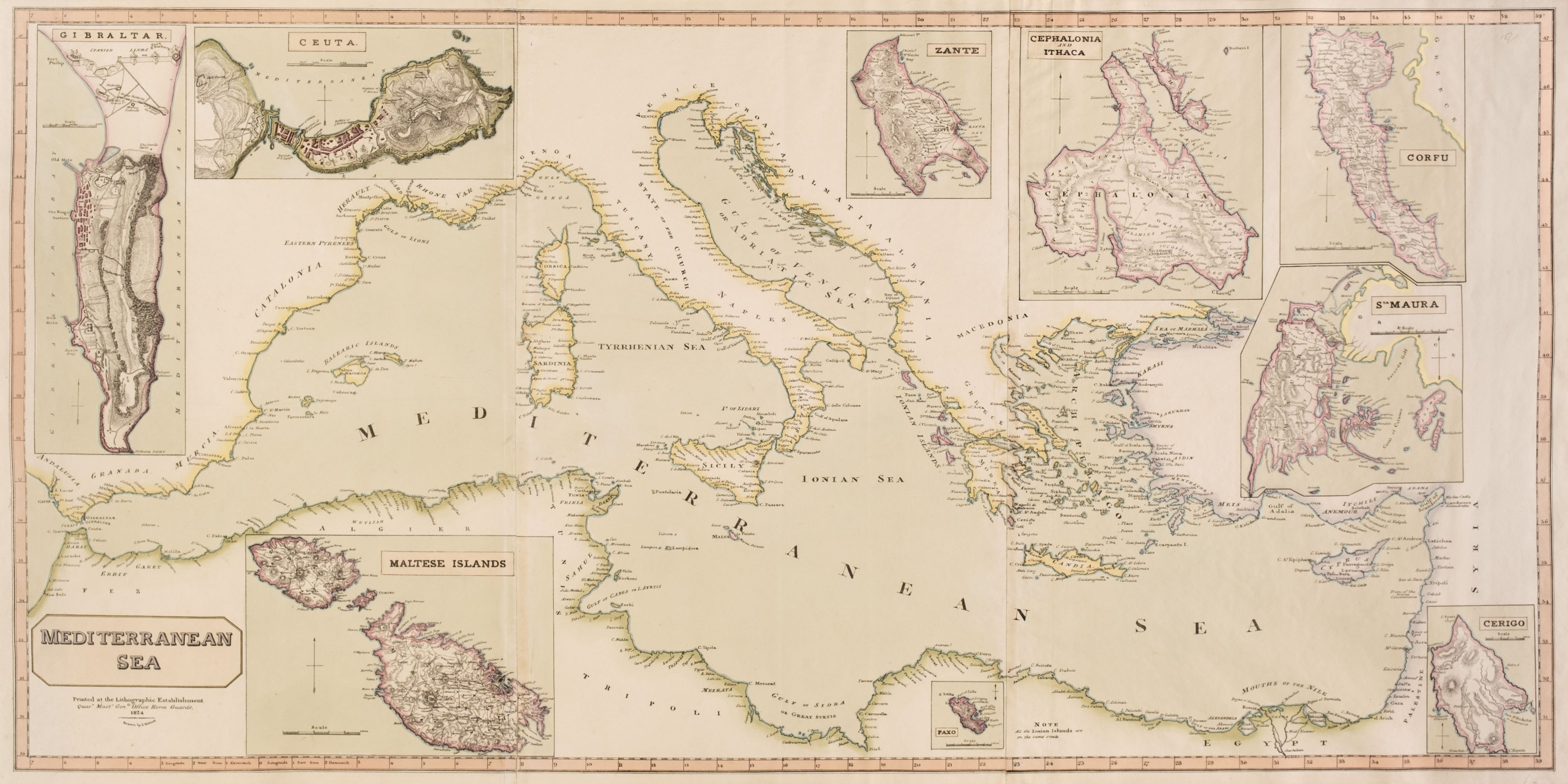
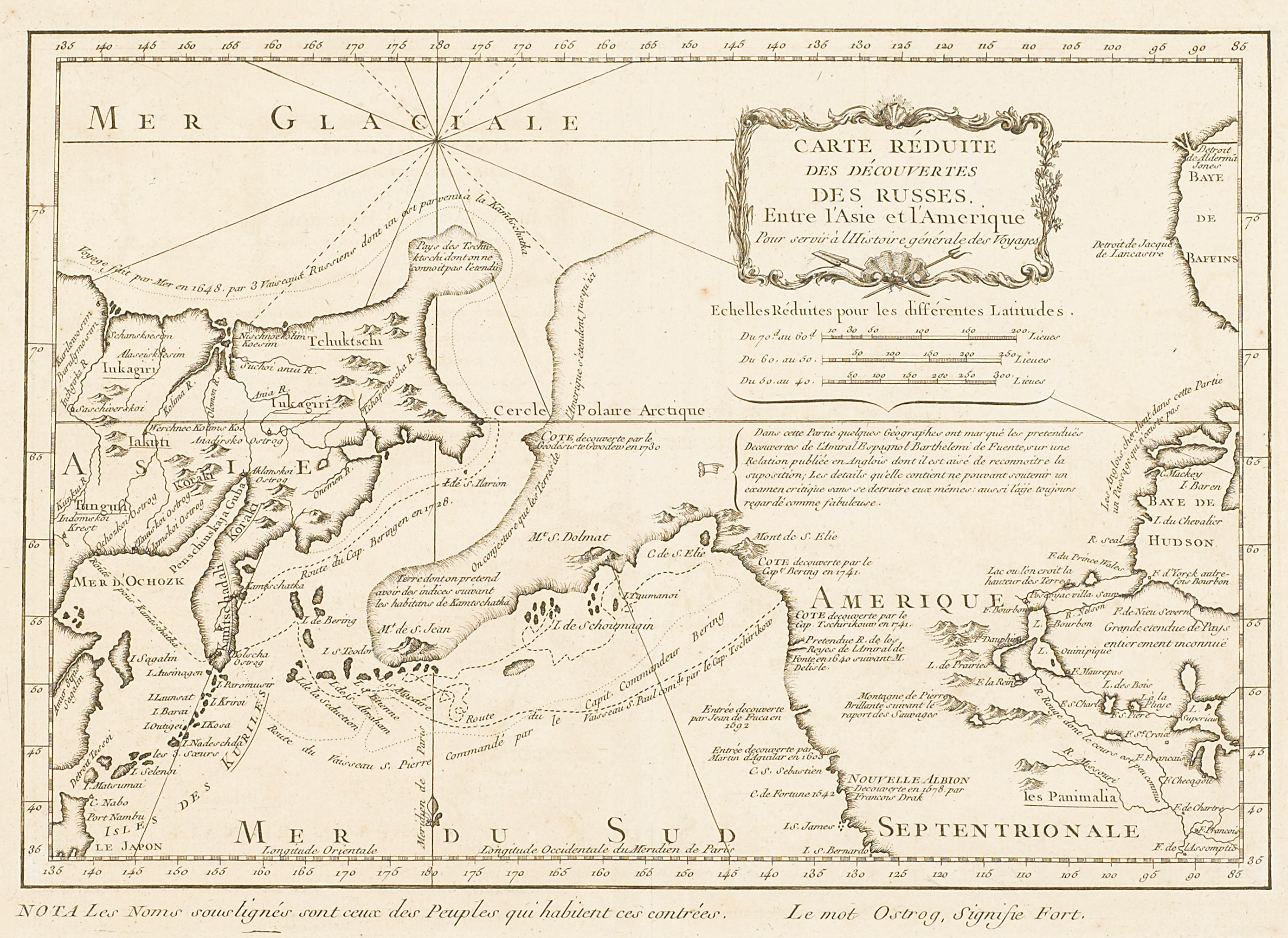
Copper-engraved map, later hand-coloring. 18.6x34.1 cm (7¼x13¼"). Chart of the Strait of Magellan locating harbors, islands, capes and bays. From Prevost's Histoire Generale des Voyages.
Copper-engraved map, later hand-coloring. 18.6x34.1 cm (7¼x13¼"). Chart of the Strait of Magellan locating harbors, islands, capes and bays. From Prevost's Histoire Generale des Voyages.


Testen Sie LotSearch und seine Premium-Features 7 Tage - ohne Kosten!
Lassen Sie sich automatisch über neue Objekte in kommenden Auktionen benachrichtigen.
Suchauftrag anlegen