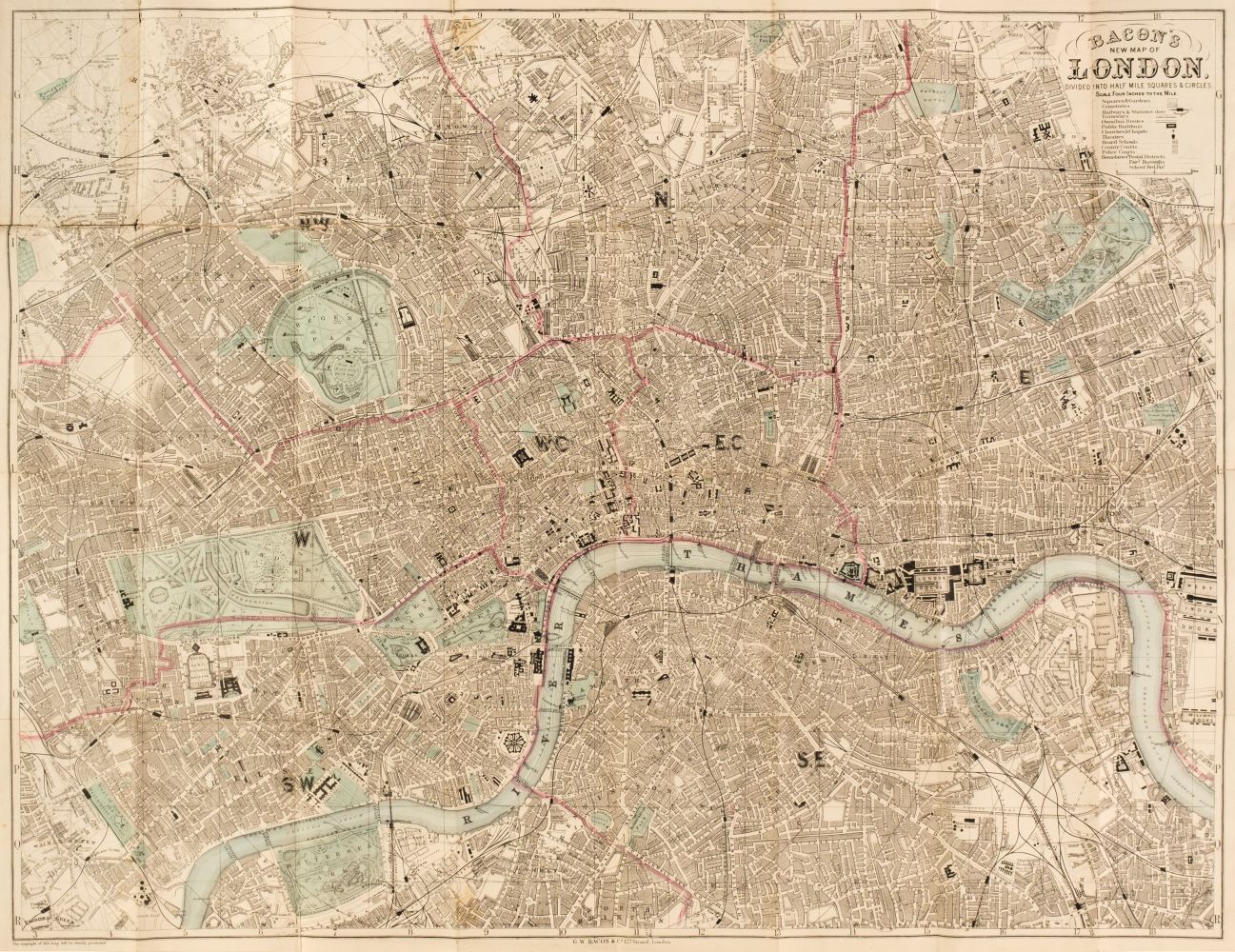
Bacon (G. W., publisher). Bacon's Large Scale Atlas of London and Suburbs (Revised Edition) with an Alphabetical Index, circa 1910, title page and contents list, 26 double-page and folding social, geographic and industrial maps and a 34-sheet map of Greater London, very slight spotting, endpapers and pastedowns with some water staining, publisher's half morocco gilt, a little stained and worn, folio, together with Wyld (James). Map of the County of Surrey from Trigonometrical Survey with the Roads, Parks and Railways, 2nd edition, circa 1860, engraved map with contemporary outline colouring, sectionalised and laid on linen, large uncoloured cartouche and table of explanation, some dust soiling and slight staining, marbled endpapers, 850 x 1130 mm, with Stark (J.). Stark's Geographical, Historical, Chronological, Biographical, Mineralogical and Railway Chart of the United Kingdom of Great Britain, published Glasgow, circa 1852, lithographic map with contemporary outline colouring, sectionalised and laid on linen, slight overall toning, frayed with slight loss to the printed image, edged in green silk, 1000 x 750 mm, contemporary blind-stamped morocco boards, lacking upper board, size when folded 265 x 175 mm, plus Ordnance Survey (publishers). Map of Putney, Wandsworth and Environs on a scale of 25 inches to the mile, circa 1870, large colour lithographic map, sectionalised and laid on linen, 1350 x 2040 mm, marbled endpapers, and Stanford (Edward, publishers). Stanford's Map of the River Thames from Richmond to Lechlade, circa 1950, folding colour lithographic map, slight spotting, publisher's paper wrappers, 210 x 3300 mm, with London Docks. Port of London Authority. Plan of the India & Millwall Docks [and] Port of London Authority. Plan of the Tilbury Docks, 1968 & 1969 respectively, the first map, colour printed, sectionalised and laid on linen, 655 x 620 mm, the second an uncoloured map, sectionalised and laid on linen, 890 x 725 mm, both with marbled endpapers and uniformly bound in envelope style blue boards with gilt title to the upper cover and secured with a steel 'popper' with one other map similar (Quantity: 8)
Bacon (G. W., publisher). Bacon's Large Scale Atlas of London and Suburbs (Revised Edition) with an Alphabetical Index, circa 1910, title page and contents list, 26 double-page and folding social, geographic and industrial maps and a 34-sheet map of Greater London, very slight spotting, endpapers and pastedowns with some water staining, publisher's half morocco gilt, a little stained and worn, folio, together with Wyld (James). Map of the County of Surrey from Trigonometrical Survey with the Roads, Parks and Railways, 2nd edition, circa 1860, engraved map with contemporary outline colouring, sectionalised and laid on linen, large uncoloured cartouche and table of explanation, some dust soiling and slight staining, marbled endpapers, 850 x 1130 mm, with Stark (J.). Stark's Geographical, Historical, Chronological, Biographical, Mineralogical and Railway Chart of the United Kingdom of Great Britain, published Glasgow, circa 1852, lithographic map with contemporary outline colouring, sectionalised and laid on linen, slight overall toning, frayed with slight loss to the printed image, edged in green silk, 1000 x 750 mm, contemporary blind-stamped morocco boards, lacking upper board, size when folded 265 x 175 mm, plus Ordnance Survey (publishers). Map of Putney, Wandsworth and Environs on a scale of 25 inches to the mile, circa 1870, large colour lithographic map, sectionalised and laid on linen, 1350 x 2040 mm, marbled endpapers, and Stanford (Edward, publishers). Stanford's Map of the River Thames from Richmond to Lechlade, circa 1950, folding colour lithographic map, slight spotting, publisher's paper wrappers, 210 x 3300 mm, with London Docks. Port of London Authority. Plan of the India & Millwall Docks [and] Port of London Authority. Plan of the Tilbury Docks, 1968 & 1969 respectively, the first map, colour printed, sectionalised and laid on linen, 655 x 620 mm, the second an uncoloured map, sectionalised and laid on linen, 890 x 725 mm, both with marbled endpapers and uniformly bound in envelope style blue boards with gilt title to the upper cover and secured with a steel 'popper' with one other map similar (Quantity: 8)


.jpg)


Testen Sie LotSearch und seine Premium-Features 7 Tage - ohne Kosten!
Lassen Sie sich automatisch über neue Objekte in kommenden Auktionen benachrichtigen.
Suchauftrag anlegen